Havre de Grace in Harford County, Maryland — The American Northeast (Mid-Atlantic)
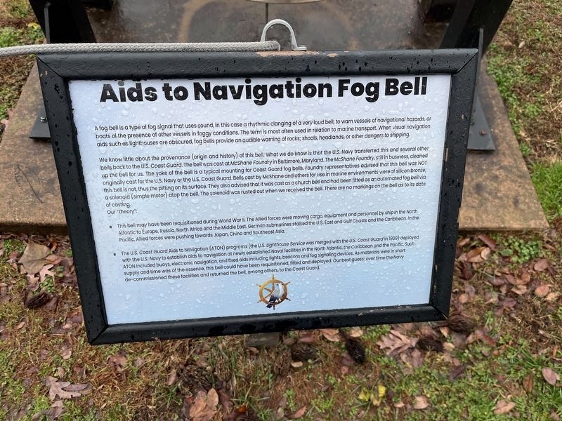
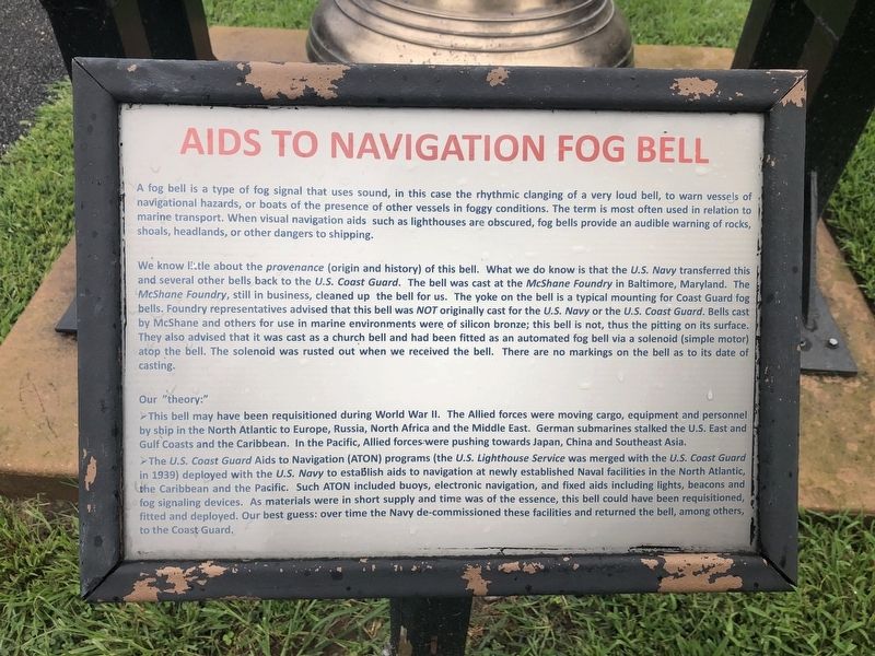
Aids to Navigation Fog Bell
A fog bell is a type of fog signal that uses sound, in this case the rhythmic clanging of a very loud bell, to warn vessels of navigational hazards, or boats of the presence of other vessels in foggy conditions. The term is most often used in relation to marine transport. When visual navigation aids such as lighthouses are obscured, fog bells provide an audible warning of rocks, shoals, headlands, or other dangers to shipping.
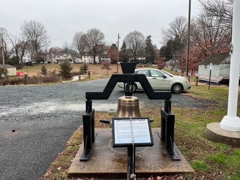
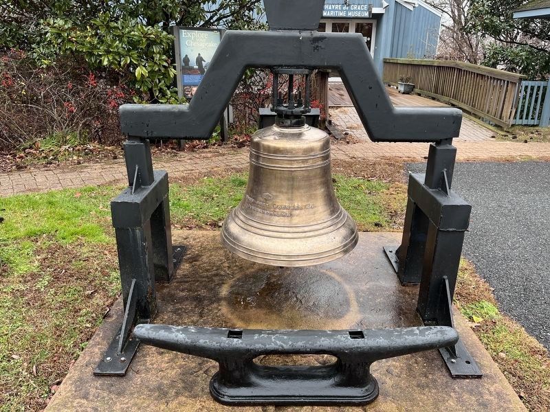
We know little about the provenance (origin and history) of this bell. What we do know is that the U.S. Navy transferred this and several bells back to the U.S. Coast Guard. The bell was cast at the McShane Foundry in Baltimore, Maryland. The McShane Foundry, still in business, cleaned up the bell for us. The yoke on the bell is a typical mounting for Coast Guard fog bells. Foundry representatives advised that this bell was not originally cast for the U.S. Navy or the U.S. Coast Guard. Bells cast by McShane and others for use in marine environments were of silicon bronze; this bell is not, thus the pitting on its surface. They also advised that it was cast as a church bell and had been fitted as an automated fog bell via a solenoid (simple motor) atop the bell. The solenoid was rusted out when we received the bell. There are no markings on the bell as to its date of casting.
Our "theory:"
➢ This bell may have been requisitioned during World War II. The Allied forces were moving cargo, equipment and personnel by ship in the North Atlantic to Europe, Russia, North Africa and the Middle East. German submarines stalked the U.S. east and Gulf Coasts and the Caribbean. In the Pacific, Allied forces were pushing towards Japan, China and Southeast Asia.
➢ The U.S. Coast Guard Aids to Navigation (ATON) programs (the U.S. Lighthouse Service was merged with the U.S. Coast Guard in 1939) deployed with the U.S. Navy to establish aids to navigation at newly established Naval facilities in the North Atlantic, the Caribbean and the Pacific. Such ATON included buoys, electronic navigation, and fixed aids including lights, beacons and fog signaling devices. As materials were in short supply and time was of the essence, this bell could have been requisitioned, fitted and deployed. Our best guess: over time the Navy de-commissioned these facilities and returned the bell, among others, to the Coast Guard.
Erected by The Havre de Grace Maritime Museum.
Topics and series. This historical marker is listed in these topic lists: Military
Photographed By Devry Becker Jones (CC0), August 23, 2019
2. Aids to Navigation Fog Bell Marker
This is a previous iteration of the marker. While the formatting is slightly different, the inscription is identical to the current version.
Location. 39° 32.426′ N, 76° 5.184′ W. Marker is in Havre de Grace, Maryland, in Harford County. Marker can be reached from the intersection of Lafayette Street and Young Street, on the right when traveling east. Touch for map. Marker is at or near this postal address: 100 Lafayette St, Havre de Grace MD 21078, United States of America. Touch for directions.
Other nearby markers. At least 8 other markers are within walking distance of this marker. Anchors (a few steps from this marker); Pensell Propeller (within shouting distance of this marker); The Boyer Family Shad Shack (within shouting distance of this marker); Nun Buoy (within shouting distance of this marker); This Wye Oak (within shouting distance of this marker); A Perfect Location (within shouting distance of this marker); Birds by the Bay (within shouting distance of this marker); Did you Know? (within shouting distance of this marker). Touch for a list and map of all markers in Havre de Grace.
Credits. This page was last revised on December 29, 2023. It was originally submitted on August 23, 2019, by Devry Becker Jones of Washington, District of Columbia. This page has been viewed 271 times since then and 39 times this year. Last updated on January 9, 2021, by Carl Gordon Moore Jr. of North East, Maryland. Photos: 1. submitted on December 27, 2023, by Adam Margolis of Mission Viejo, California. 2. submitted on August 23, 2019, by Devry Becker Jones of Washington, District of Columbia. 3, 4, 5. submitted on December 27, 2023, by Adam Margolis of Mission Viejo, California.
