Cambridge in Dorchester County, Maryland — The American Northeast (Mid-Atlantic)
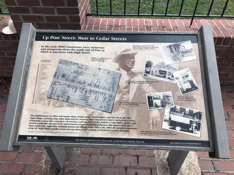
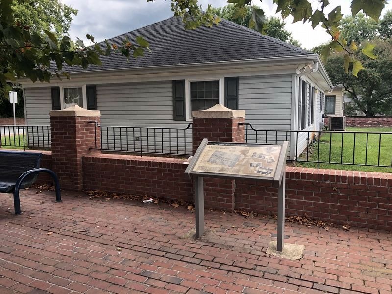
Up Pine Street: Muir to Cedar Street
Photographed by Devry Becker Jones (CC0), August 24, 2019
1. Up Pine Street: Muir to Cedar Street Marker
In the early 1900's businesses were numerous and prosperous from the south end of Pine to where it intersects with High Street.
The neighborhood was filled with beauty salons, barber shops, funeral homes, and taxi cab stands, shoe repair shops, a printing shop, tailor shops and dry cleaners. There were grocery stores, confectionery stores, restaurants, a drug store, carpenters, electricians, a salvage yard, service stations, a vault maker, haulers and movers. Cambridge was part of the entertainment circuit of national performers that supported an opera house, pool halls, night clubs, boarding houses and lodging. From 1880 to the 1960's the business community of all the 'Negro Ward' proudly served over one third of the residents of Dorchester County, Maryland.
Erected by Cambridge, Maryland; Department of Housing and Community Developoment.
Topics. This historical marker is listed in these topic lists: African Americans • Arts, Letters, Music • Entertainment • Industry & Commerce. A significant historical year for this entry is 1880.
Location. 38° 33.983′ N,
this page online

Regionally, this marker is on the Eastern Shore. It is also in the American Mid-Atlantic, on the Delmarva Peninsula, in the Tidewater, in the Chesapeake Bay Region, and on the Eastern Seaboard. Globally, it is in the North Atlantic Region, North America, the Western Hemisphere, the Western World, and the Anglosphere. Historically, it finds itself in what was once one of the original Thirteen Colonies and also the Antebellum South.
Other nearby markers. At least 8 other markers are within walking distance of this marker: Empowering the People (a few steps from this marker); The Harriet Tubman Gallery, Inc. (a few steps from this marker); Jazz on Pine Street (a few steps from this marker); Bethel Church (about 300 feet away, measured in a direct line); The Carillonic Bells (approx. 0.2 miles away); Preserving Our Architectural Heritage
Photographed by Devry Becker Jones (CC0), August 24, 2019
2. Up Pine Street: Muir to Cedar Street Marker
Credits. This page was last revised on May 11, 2020. It was originally submitted on August 25, 2019, by Devry Becker Jones of Washington, District of Columbia. This page has been viewed 595 times since then and 48 times this year. Photos: 1, 2. submitted on August 25, 2019, by Devry Becker Jones of Washington, District of Columbia.
