Colonia San Rafael in Ciudad de México, Mexico — The Valley of Mexico (The Central Highlands)
Francisco Díaz Covarrubias
(1833-1889)
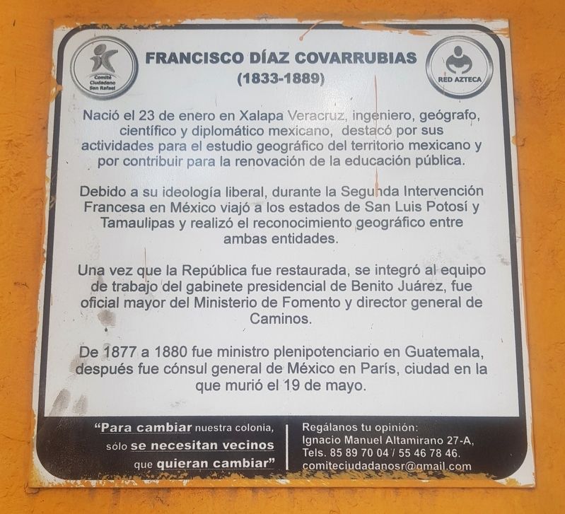
Nació el 23 de enero en Xalapa Veracruz, ingeniero, geógrafo, cientifico y diplomático mexicano, destacó por sus actividades para el estudio geográfico del territorio mexicano y por contribuir para la renovación de la educación pública.
Debido a su ideología liberal, durante la Segunda Intervención Francesa en México viajó a los estados de San Luis Potosí y Tamaulipas y realizó el reconocimiento geográfico entre ambas entidades.
Una vez que la República fue restaurada, se integró al equipo de trabajo del gabinete presidencial de Benito Juárez, fue oficial mayor del Ministerio de Fomento y director general de Caminos.
De 1877 a 1880 fue ministro plenipotenciario en Guatemala, después fue cónsul general de México en París, ciudad en la que murió el 19 de mayo.
"Para cambiar nuestra colonia, sólo se necesitan vecinos que quieran cambiar"
Regálanos tu opinión: lgnacio Manuel Altamirano 27-A,
Tels. 85 89 70 04/ 55 46 78 46.
[email protected]
Francisco Díaz Covarrubias
(1833-1889)
He was born on January 23 in Xalapa, Veracruz. He was an engineer, geographer, scientist and Mexican diplomat, noted for his activities related to the geographical study of Mexican territory and for contributing to the renewal of public education.
Due to its liberal ideology, during the Second French Intervention in Mexico he traveled to the states of San Luis Potosí and Tamaulipas and studied the geography of both states.
Once the Republic was restored, he joined the presidential cabinet of Benito Juárez as the senior officer of the Ministry of Development and as general director of the Roads Department.
From 1877 to 1880 he was plenipotentiary minister in Guatemala and later he was consul general of Mexico in Paris, city in which he died on May 19.
"To change our neighborhood, we need neighbors that want to change."
Give us your opinion: Ignacio Manuel Altamirano 27-A,
Tels. 85 89 70 04/55 46 78 46.
[email protected]
Erected by Comités Ciudadano San Rafael, Red Azteca.
Topics. This historical marker is listed in these topic lists: Education • Government & Politics • Wars, Non-US. A significant historical date for this entry is January 23, 1877.
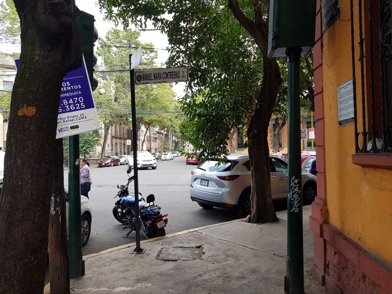
Location. 19° 26.208′ N, 99° 9.931′ W. Marker is in Ciudad de México. It is in Colonia San Rafael. Marker is at the intersection of Calle Francisco Díaz Covarrubias and Manuel María Contreras, on the left when traveling west on Calle Francisco Díaz Covarrubias. Touch for map. Marker is at or near this postal address: Calle Francisco Díaz Covarrubias 52, Ciudad de México 06470, Mexico. Touch for directions.
Other nearby markers. At least 8 other markers are within walking distance of this marker. Antonio Caso (about 150 meters away, measured in a direct line); Ignacio Manuel Altamirano (approx. 0.3 kilometers away); José Rosas Moreno (approx. 0.4 kilometers away); Guillermo Prieto (approx. half a kilometer away); Justo Arosemena (approx. half a kilometer away); The American Cemetery in Mexico City (approx. half a kilometer away); a different marker also named Guillermo Prieto (approx. 0.6 kilometers away); Dr. Carlos Canseco González (approx. 0.6 kilometers away). Touch for a list and map of all markers in Ciudad de México.
Credits. This page was last revised on April 17, 2020. It was originally submitted on August 25, 2019, by J. Makali Bruton of Accra, Ghana. This page has been viewed 122 times since then and 16 times this year. Photos: 1, 2. submitted on August 25, 2019, by J. Makali Bruton of Accra, Ghana.

