St. Michaels in Talbot County, Maryland — The American Northeast (Mid-Atlantic)
Pot Pie Skiff
Chesapeake Bay Maritime Museum
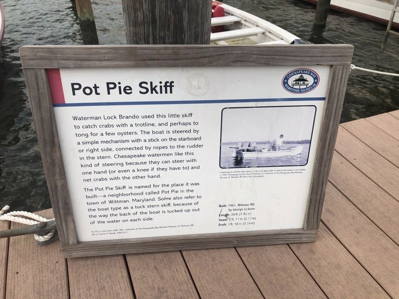
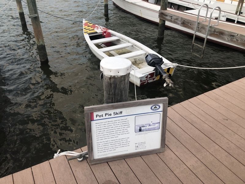
The Pot Pie Skiff is named for the place it was built—a neighborhood called Pot Pie in the town of Wittman, Maryland. Some also refer to the boat type as a tuck stern skiff, because of the way the back of the boat is tucked up out of the water on each side.
Built: 1961, Wittman, MD by George Jackson
Length: 26 ft (7.92 m)
Beam: 7 ft, 11 in (2.17 m)
Draft: 1 ft, 10in (0.36 m)
[Caption:]
A waterman in a Pot Pie Skiff catches a crag in his dipnet after it comes to the surface on his trotline, c. 1979. Photograph by John Hurt Whitehead, III. Collection of the Chesapeake Bay Maritime Museum, St. Michaels, MD. Gift of the Photographer.
Erected by Chesapeake Bay Maritime Museum.
Topics. This historical marker is listed in these topic lists: Animals • Industry & Commerce • Waterways & Vessels. A significant historical year for this entry is 1961.
Location. 38° 47.312′ N, 76° 13.232′ W. Marker is in St. Michaels, Maryland, in Talbot County. Marker can be reached from Mill Street east of Burns Street, on the left when traveling east. Touch for map. Marker is at or near this postal address: 213 North Talbot Street, Saint Michaels MD 21663, United States of America. Touch for directions.
Other nearby markers. At least 8 other markers are within walking distance of this marker. Martha (here, next to this marker); Old Point (a few steps from this marker); What is a waterman? (a few steps from this marker); Tools of the Oystermen (within shouting distance of this marker); Katie G., Deadrise Workboat (within shouting distance of this marker); Winnie Estelle (within shouting distance of this marker); Fishing Shanty / Ark (within shouting distance of this marker); Kennedy M. Fitzgerald (within shouting distance of this marker). Touch for a list and map of all markers in St. Michaels.
Credits. This page was last revised on August 26, 2019. It was originally submitted on August 26, 2019, by Devry Becker Jones of Washington, District of Columbia. This page has been viewed 143 times since then and 14 times this year. Photos: 1, 2. submitted on August 26, 2019, by Devry Becker Jones of Washington, District of Columbia.

