St. Michaels in Talbot County, Maryland — The American Northeast (Mid-Atlantic)
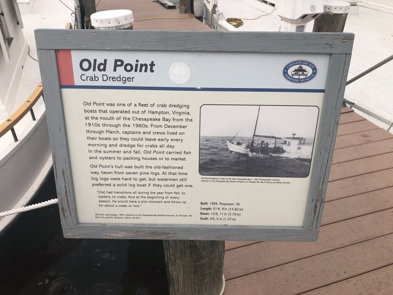
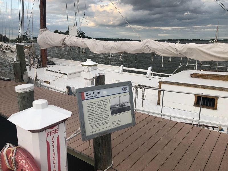
Old Point
Crab Dredger
— Chesapeake Bay Maritime Museum —
Old Point's hull was built the old-fashioned way, hewn from seven pine logs. At that time big logs were hard to get, but watermen still preferred a solid log boat if they could get one.
"[He] had transitions all during the year from fish, to oysters, to crabs. And at the beginning of every season, he would have a sick stomach and throw up for about a week or two."
Built: 1909, Poquoson, VA
Length: 51 ft, 9 in (15.82 m)
Beam: 12 ft, 11 in (3.70 m)
Draft: 4 ft, 5 in (1.37 m)
[Caption:]
Old Point dredging for crabs on the lower Chesapeake Bay, c. 1920. Photographer unknown. Collection of the Chesapeake Bay Maritime Museum, St. Michaels, MD. Gift of Norma and William Carmine.
Erected by Chesapeake Bay Maritime Museum.
Topics. This historical marker is listed in these topic lists: Animals • Industry & Commerce. A significant historical year for this entry is 1909.
Location. 38° 47.308′ N, 76° 13.225′ W. Marker is in St. Michaels, Maryland, in Talbot County. Marker can be reached from Mill Street east of Burns Street, on the left when traveling east. Touch for map. Marker is at or near this postal address: 213 North Talbot Street, Saint Michaels MD 21663, United States of America. Touch for directions.
Other nearby markers. At least 8 other markers are within walking distance of this marker. Martha (here, next to this marker); Pot Pie Skiff (a few steps from this marker); What is a waterman? (within shouting distance of this marker); Tools of the Oystermen (within shouting distance of this marker); Winnie Estelle (within shouting distance of this marker); Katie G., Deadrise Workboat (within shouting distance of this marker); Kennedy M. Fitzgerald (within shouting distance of this marker); Fishing Shanty / Ark (within shouting distance of this marker). Touch for a list and map of all markers in St. Michaels.
Additional keywords. Old Point
Credits. This page was last revised on August 26, 2019. It was originally submitted on August 26, 2019, by Devry Becker Jones of Washington, District of Columbia. This page has been viewed 102 times since then and 8 times this year. Photos: 1, 2. submitted on August 26, 2019, by Devry Becker Jones of Washington, District of Columbia.

