St. Michaels in Talbot County, Maryland — The American Northeast (Mid-Atlantic)
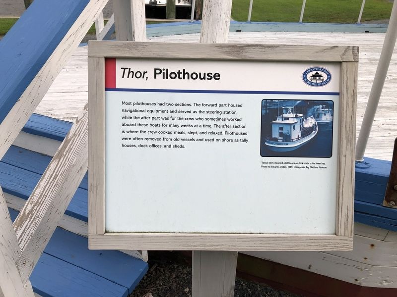
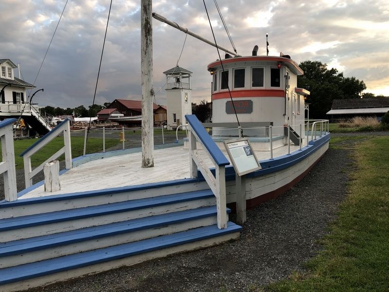
Thor, Pilothouse
Chesapeake Bay Maritime Museum
Erected by Chesapeake Bay Maritime Museum.
Topics. This historical marker is listed in this topic list: Waterways & Vessels.
Location. 38° 47.275′ N, 76° 13.151′ W. Marker is in St. Michaels, Maryland, in Talbot County. Marker can be reached from Mill Street east of Burns Street, on the left when traveling east. Touch for map. Marker is at or near this postal address: 213 North Talbot Street, Saint Michaels MD 21663, United States of America. Touch for directions.
Other nearby markers. At least 8 other markers are within walking distance of this marker. Merry Widow (within shouting distance of this marker); Bushwack Boat (within shouting distance of this marker); Hooper Strait Lighthouse (within shouting distance of this marker); Sharptown Barge (within shouting distance of this marker); How the Screwpile Lighthouse Got Its Name (within shouting distance of this marker); Point Lookout Fog Bell Tower (within shouting distance of this marker); Tolchester Beach Bandstand (within shouting distance of this marker); Iconic Chesapeake Light (within shouting distance of this marker). Touch for a list and map of all markers in St. Michaels.
Additional keywords. Thor, Pilothouse
Credits. This page was last revised on August 26, 2019. It was originally submitted on August 26, 2019, by Devry Becker Jones of Washington, District of Columbia. This page has been viewed 143 times since then and 17 times this year. Photos: 1, 2. submitted on August 26, 2019, by Devry Becker Jones of Washington, District of Columbia.

