
Lyman in Wayne County, Utah — The American Mountains (Southwest)
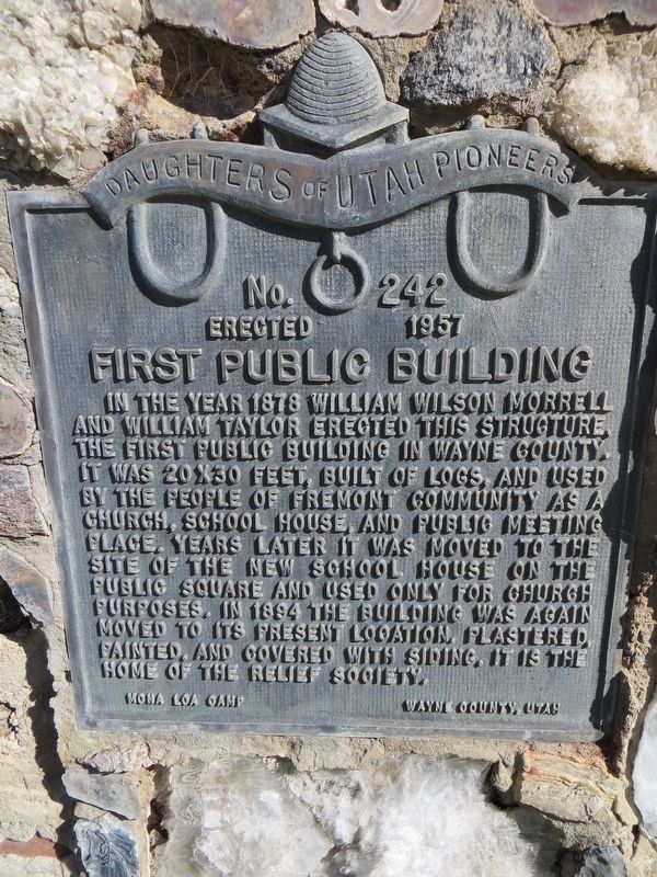
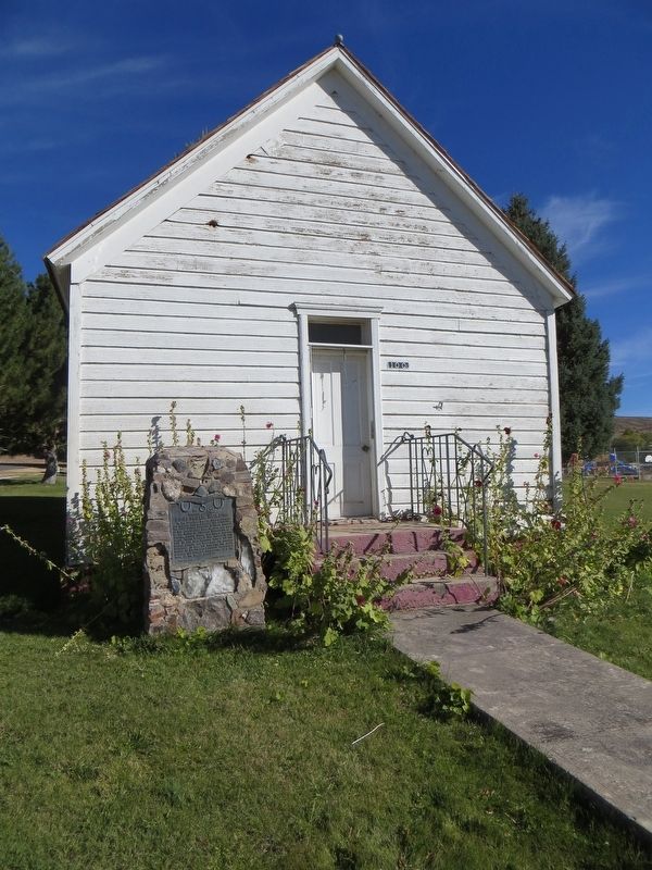
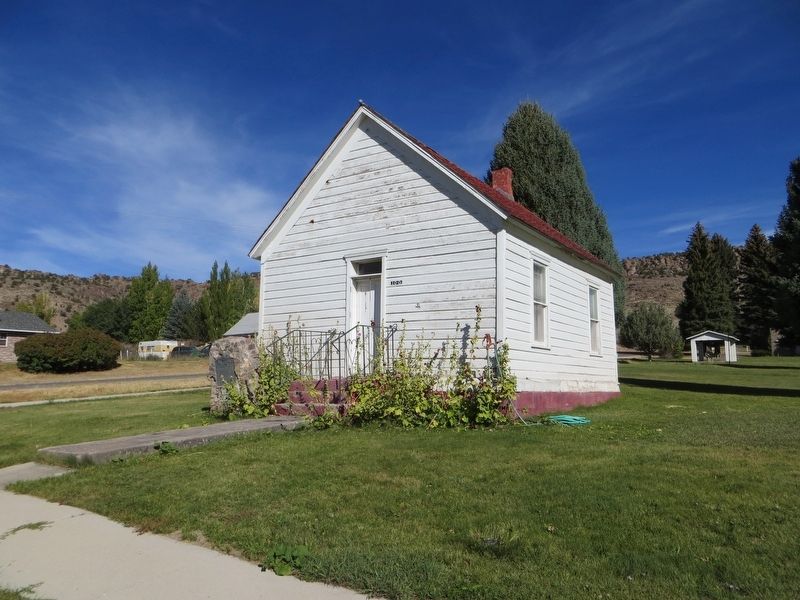
First Public Building
Photographed by Bill Kirchner, September 29, 2018
1. First Public Building Marker
Erected 1957 by Daughters of Utah Pioneers. (Marker Number 242.)
Topics and series. This historical marker is listed in this topic list: Settlements & Settlers. In addition, it is included in the Daughters of Utah Pioneers series list. A significant historical year for this entry is 1878.
Location. 38° 27.383′ N, 111° 37.319′ W. Marker is in Lyman, Utah, in Wayne County. It is at the intersection of West 100 South and South 300 West, on the left when traveling east on West 100 South. Touch for map. Marker is in this post office area: Lyman UT 84749, United States of America. Touch for directions.

Regionally,
this page online

Other nearby markers. At least 8 other markers are within 4 miles of this marker, measured as the crow flies: The First Sawmill (within shouting distance of this marker); Fremont Park (about 400 feet away, measured in a direct line); Allred Point (approx. 1.7 miles away); "Tragedy in the Desert" (approx. 3.9 miles away); Loa Veterans Memorial (approx. 3.9 miles away); a different marker also named Loa Veterans Memorial (approx. 3.9 miles away); Loa, Utah (approx. 4 miles away); First Wayne Stake Tithing Office (approx. 4 miles away). Touch for a list and map of all markers in Lyman.
Photographed by Bill Kirchner, September 29, 2018
2. First Public Building Marker
Photographed by Bill Kirchner, September 29, 2018
3. First Public Building
Credits. This page was last revised on August 27, 2019. It was originally submitted on August 27, 2019, by Bill Kirchner of Tucson, Arizona. This page has been viewed 320 times since then and 15 times this year. Photos: 1, 2, 3. submitted on August 27, 2019, by Bill Kirchner of Tucson, Arizona.
