Mackinaw City in Cheboygan County, Michigan — The American Midwest (Great Lakes)
Commercial Fishing
Mackinac CIty Historical Pathway
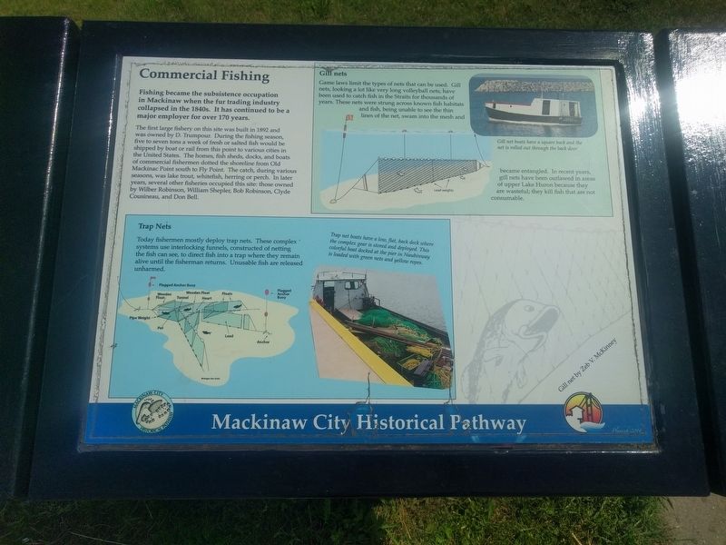
Fishing became the subsistence occupation in Mackinaw when the fur trading industry collapsed in the 1840s. It has continued to be a major employer for over 170 years.
The first large fishery on this site was built in 1892 and was owned by D. Trumpour. During the fishing season, five to seven tons a week of fresh or salted fish would be shipped by boat or rail from this point to various cities in the United States. The homes, fish sheds, docks, and boats of commercial fishermen dotted the shoreline from Old Mackinac Point south to Fly Point. The catch, during various seasons, was lake trout, whitefish, herring or perch. In later years, several other fisheries occupied this site: those owned by Wilber Robinson, William Shepler, Bob Robinson, Clyde Cousineau, and Don Bell.
Trap Nets
Today fishermen mostly deploy trap nets. These complex systems use interlocking funnels, constructed of netting the fish can see, to direct fish into a trap where they remain alive until the fisherman returns. Unusable fish are released unharmed.
Gill nets
Game laws limit the types of nets that can be used. Gill nets, looking a lot like very long volleyball nets, have been used to catch fish in the Straits for thousands of years. These nets were strung across known fish habitats and fish, being unable to see the thin lines of the net, swam into the mesh and became entangled. In recent years, gill nets have been outlawed in areas of upper Lake Huron because they are wasteful; they kill fish that are not consumable. (Marker Number 8.)
Topics. This historical marker is listed in these topic lists: Industry & Commerce • Waterways & Vessels. A significant historical year for this entry is 1892.
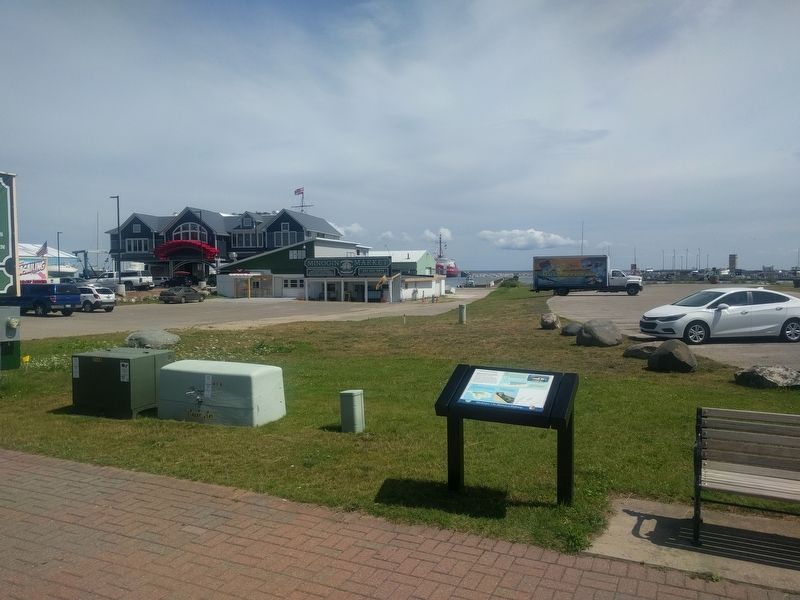
Location. 45° 46.752′ N, 84° 43.552′ W. Marker is in Mackinaw City, Michigan, in Cheboygan County. Marker is on South Huron Avenue north of Railroad Avenue, on the right when traveling north. Marker is at the northwest corner of Conkling Heritage Park. Touch for map. Marker is at or near this postal address: 335 South Huron Avenue, Mackinaw City MI 49701, United States of America. Touch for directions.
Other nearby markers. At least 8 other markers are within walking distance of this marker. British Colonial Shipbuilding Yard, 1761 - 1781 (within shouting distance of this marker); Mackinaw City Railroad Dock / USCG Cutter Mackinaw WAGB 83 (within shouting distance of this marker); Railroad Ferries (within shouting distance of this marker); Edgar Conkling 1812-1881 (within shouting distance of this marker); The Meneely Bell (about 300 feet away, measured in a direct line); Ice Harvesting (about 300 feet away); Mill Creek (about 500 feet away); American Legion Memorial (about 600 feet away). Touch for a list and map of all markers in Mackinaw City.
Credits. This page was last revised on August 27, 2019. It was originally submitted on August 27, 2019, by Joel Seewald of Madison Heights, Michigan. This page has been viewed 179 times since then and 17 times this year. Photos: 1, 2. submitted on August 27, 2019, by Joel Seewald of Madison Heights, Michigan.

