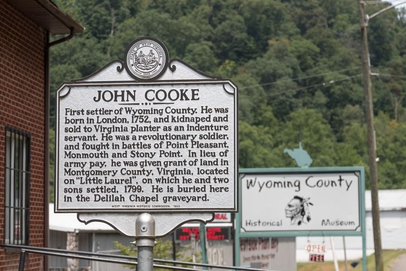
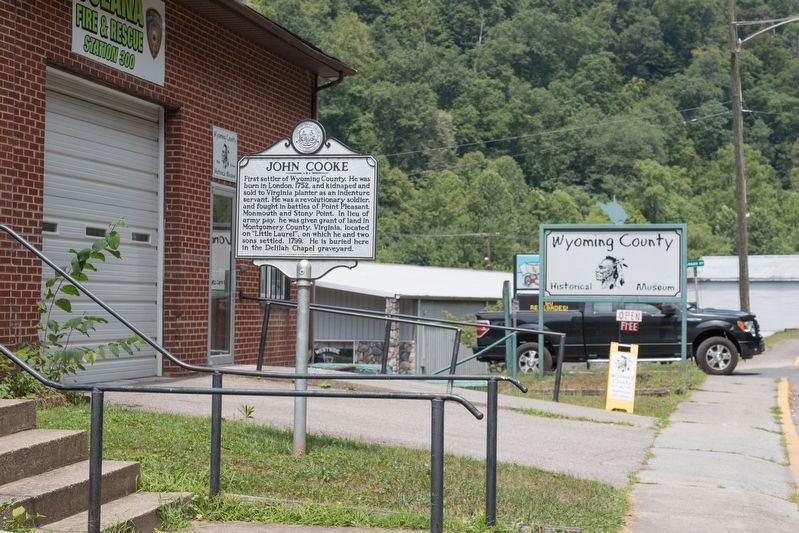
Oceana in Wyoming County, West Virginia — The American South (Appalachia)
John Cooke
Erected 1963 by West Virginia Department of Archives and History.
Topics and series. This historical marker is listed in these topic lists: Settlements & Settlers • War, US Revolutionary. In addition, it is included in the West Virginia Archives and History series list. A significant historical year for this entry is 1752.
Location. 37° 41.556′ N, 81° 38.019′ W. Marker is in Oceana, West Virginia, in Wyoming County. Marker is at the intersection of Cook Parkway (West Virginia Route 10) and Logan Street (Route 85), on the left when traveling west on Cook Parkway. Touch for map. Marker is in this post office area: Oceana WV 24870, United States of America. Touch for directions.
Other nearby markers. At least 8 other markers are within 2 miles of this marker, measured as the crow flies. Duty Honor Country (approx. 0.6 miles away); Capt. Ralph Stewart (approx. 0.6 miles away); Just Cause (approx. 0.6 miles away); After The Flag Is Folded (approx. 0.6 miles away); American Disabled Veterans (approx. 0.6 miles away); a different marker also named John Cooke (approx. 0.6 miles away); Oceana Veterans Memorial Wall (approx. 0.7 miles away); Civil War Romance (approx. 1˝ miles away). Touch for a list and map of all markers in Oceana.
Credits. This page was last revised on August 28, 2019. It was originally submitted on August 28, 2019, by J. J. Prats of Powell, Ohio. This page has been viewed 236 times since then and 21 times this year. Photos: 1, 2. submitted on August 28, 2019, by J. J. Prats of Powell, Ohio.

