Near Lamoille in Elko County, Nevada — The American Mountains (Southwest)
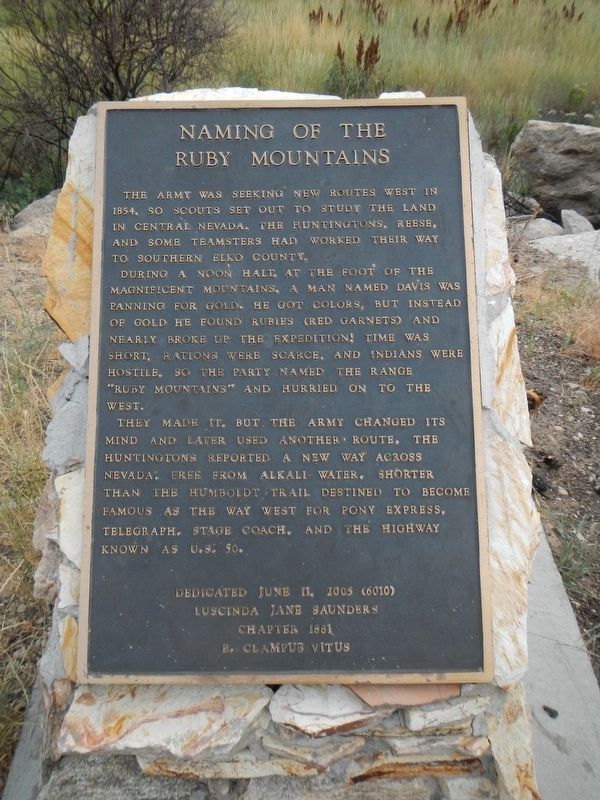
Naming of the Ruby Mountains
During a noon halt at the foot of the magnificent mountains, a man named Davis was panning for gold. He got colors, but instead of gold he found rubies (red garnets) and nearly broke up the expedition! Time was short, rations were scarce, and Indians were hostile. So the party named the range "Ruby Mountains" and hurried on to the west.
They made it, but the Army changed its mind and later used another route. The Huntingtons reported the new way across Nevada, free from alkali water, shorter than the Humboldt Trail, destined to become famous as the way west for the Pony Express, telegraph, stage coach, and the highway known as U.S. 50.
Erected 2005 by E Clampus Vitus, Lucinda Jane Saunders Chapter 1881.
Topics and series. This historical marker is listed in this topic list: Exploration. In addition, it is included in the E Clampus Vitus series list. A significant historical year for this entry is 1854.
Location. 40° 41.348′ N, 115° 28.538′ W. Marker is near Lamoille, Nevada, in Elko County. Marker is on Lamoille Canyon Road (Forest Road 660) near Lamoille Highway (Nevada Route 227), on the right when traveling south. Touch for map. Marker is in this post office area: Lamoille NV 89828, United States of America. Touch for directions.
Other nearby markers. At least 2 other markers are within 11 miles of this marker, measured as the crow flies. Lamoille Valley (approx. 2.7 miles away); Fort Halleck (approx. 11 miles away).
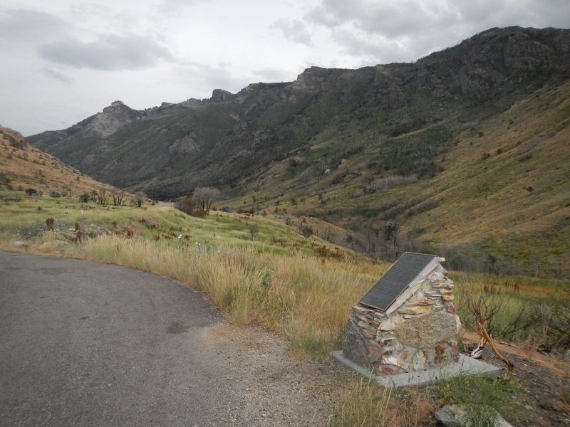
More about this marker. This marker is located at a turnout just south of the Power House Picnic Area.
Credits. This page was last revised on August 28, 2019. It was originally submitted on August 28, 2019, by Barry Swackhamer of Brentwood, California. This page has been viewed 225 times since then and 24 times this year. Photos: 1, 2. submitted on August 28, 2019, by Barry Swackhamer of Brentwood, California.

