Near Winnemucca in Humboldt County, Nevada — The American Mountains (Southwest)
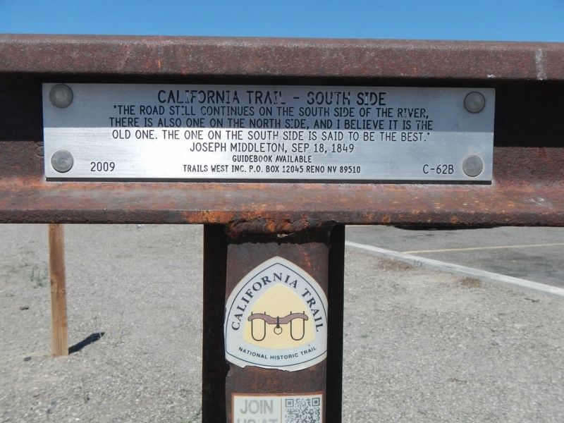
California Trail - South Side
Guidebook available
Trails West Inc, P.O. Box 12045 Reno NV 89510
Erected 2009 by Trails West Inc. (Marker Number C-62B.)
Topics and series. This historical marker is listed in these topic lists: Roads & Vehicles • Settlements & Settlers. In addition, it is included in the California Trail, and the Trails West Inc. series lists. A significant historical date for this entry is September 18, 1849.
Location. 40° 55.871′ N, 117° 48.399′ W. Marker is near Winnemucca, Nevada, in Humboldt County. Marker can be reached from West Winnemucca Boulevard, 173 miles Interstate 80. Touch for map. Marker is at or near this postal address: 5625 West Winnemucca Boulevard, Winnemucca NV 89445, United States of America. Touch for directions.
Other nearby markers. At least 8 other markers are within 5 miles of this marker, measured as the crow flies. Explorers and Mountain Men (approx. 4˝ miles away); The Victory Highway and Transcontinental Airway System (approx. 4˝ miles away); Railroads and Telegraphs (approx. 4˝ miles away); The California Trail (approx. 4˝ miles away); Winnemucca and the Humboldt River Corridor (approx. 4˝ miles away); The Humboldt River (approx. 4˝ miles away); California Trail - Trading Post (approx. 4.7 miles away); Winnemucca to the Sea Highway (approx. 4.7 miles away). Touch for a list and map of all markers in Winnemucca.
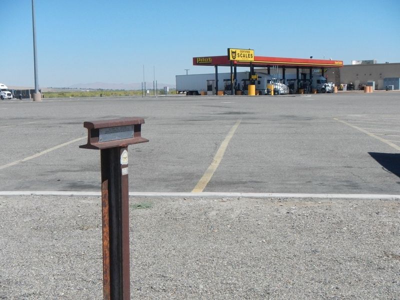
More about this marker. The marker is located at the western edge of the travel center.
Credits. This page was last revised on August 28, 2019. It was originally submitted on August 28, 2019, by Barry Swackhamer of Brentwood, California. This page has been viewed 157 times since then and 9 times this year. Photos: 1, 2. submitted on August 28, 2019, by Barry Swackhamer of Brentwood, California.

