Carpinteria in Santa Barbara County, California — The American West (Pacific Coastal)
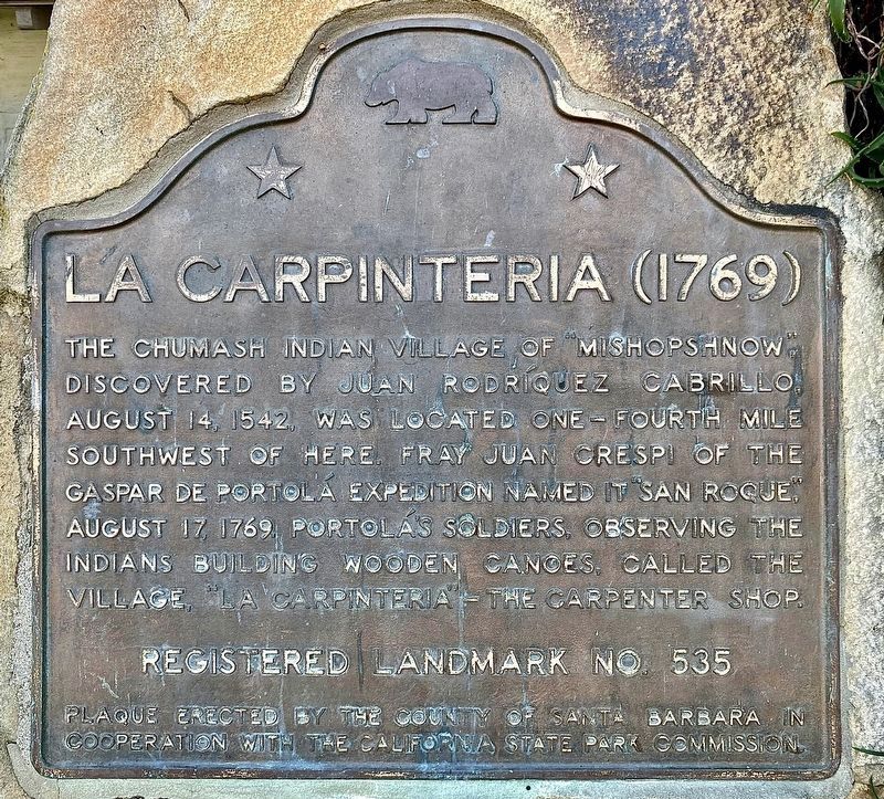
La Carpinteria
1769
Photographed by Craig Baker
1. La Carpinteria Marker
Erected by County of Santa Barbara in cooperation with the California State Park Commission. (Marker Number 535.)
Topics and series. This historical marker is listed in these topic lists: Exploration • Indigenous Peoples and Communities • Settlements & Settlers. In addition, it is included in the California Historical Landmarks, and the Portolá Expedition series lists. A significant historical year for this entry is 1542.
Location. 34° 23.844′ N, 119° 31.069′ W. Marker is in Carpinteria, California, in Santa Barbara County. It is at the intersection of Maple Street and Carpinteria Avenue, on the right when traveling east on Maple Street. Marker is located at the Carpinteria Valley Museum of History. Touch for map. Marker is at or near this postal address:
this page online

Regionally, this marker is on California’s Central Coast, specifically on the Coast Ranges, and specifically in the Transverse Ranges. It is also on the American Pacific Coast. Globally, it is in North America, on the Ring of Fire, on the Pacific Rim, in the Western Hemisphere, in the Western World, and in the Anglosphere. Historically, it finds itself in what was once New Spain and also Mexico’s Alta California.
Other nearby markers. At least 8 other markers are within walking distance of this marker: Wardholme Torrey Pine (about 400 feet away, measured in a direct line); “World’s Safest Beach” (about 500 feet away); La Viña Grande (about 500 feet away); Mills Corner (about 600 feet away); a different marker also named La Carpinteria (about 600 feet away); Portolá Sycamore (approx. 0.3 miles away); Carpinteria’s Lima Bean History (approx. 0.3 miles away); a different marker also named La Carpinteria (approx. half a mile away). Touch for a list and map of all markers in Carpinteria.
More about this marker. This is one of
Photographed by Michael Kindig, April 11, 2009
2. La Carpinteria Marker
Related markers. Click here for a list of markers that are related to this marker. - The naming of Carpinteria.
Also see . . . Carpinteria Valley Museum of History. (Submitted on July 4, 2018, by Craig Baker of Sylmar, California.)
Photographed by Craig Baker, November 10, 2023
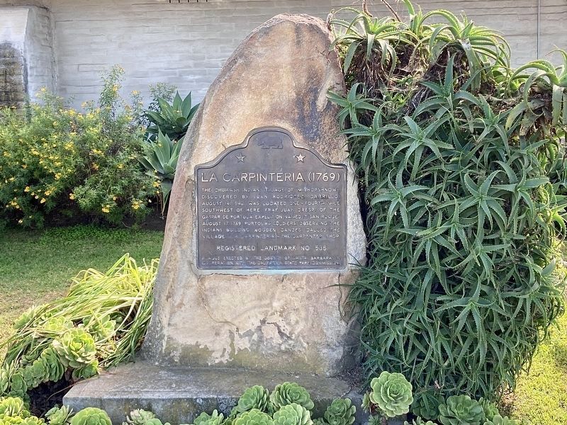
3. La Carpinteria Marker
Photographed by Craig Baker, March 26, 2020
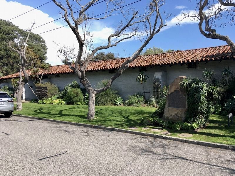
4. Marker and Museum
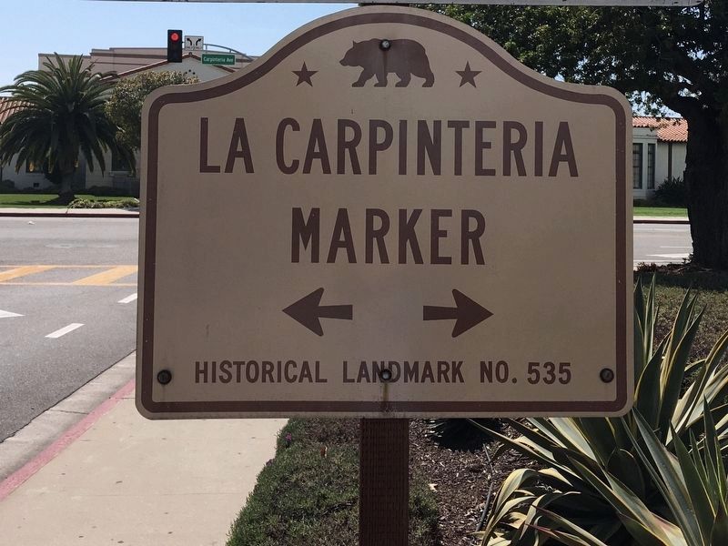
Photographed by Craig Baker, March 26, 2020
5. La Carpinteria Sign
On Casitas Pass Road near Highway 101.
Credits. This page was last revised on November 14, 2023. It was originally submitted on December 16, 2011, by Michael Kindig of Elk Grove, California. This page has been viewed 1,419 times since then and 79 times this year. Last updated on August 30, 2019, by Craig Baker of Sylmar, California. Photos: 1. submitted on November 14, 2023, by Craig Baker of Sylmar, California. 2. submitted on December 16, 2011, by Michael Kindig of Elk Grove, California. 3. submitted on November 14, 2023, by Craig Baker of Sylmar, California. 4, 5. submitted on March 29, 2020, by Craig Baker of Sylmar, California. • Andrew Ruppenstein was the editor who published this page.
