Near Richmond in Wayne County, Indiana — The American Midwest (Great Lakes)
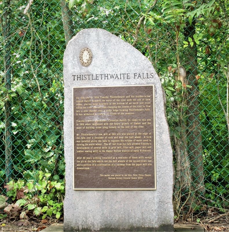
Thistlethwaite Falls
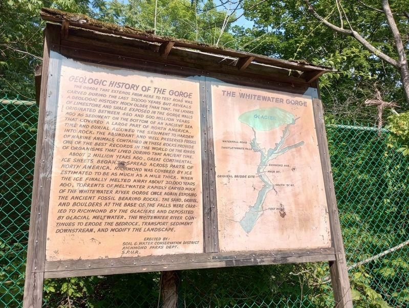
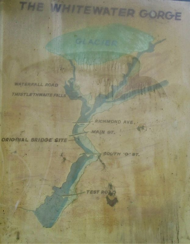
Whitewater Gorge
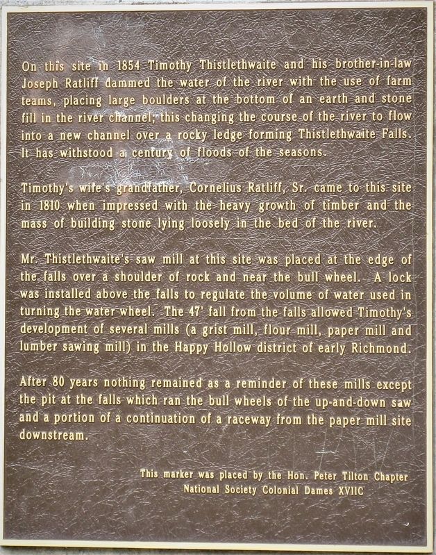
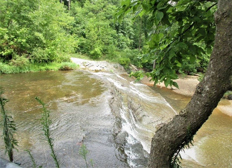
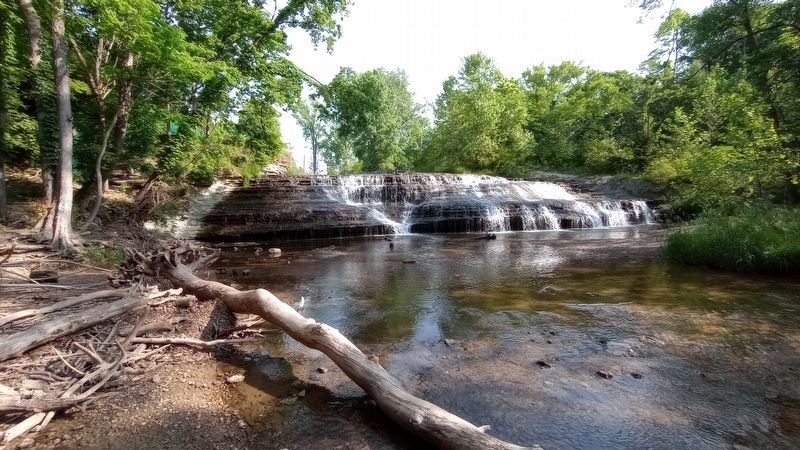
On this site in 1854 Timothy Thistlethwaite and his brother-in-law Joseph Ratliff dammed the water of the river with the use of farm teams, placing large boulders at the bottom of an earth and stone fill in the river channel; this changing the course of the river to flow into a new channel over a rocky ledge forming Thistlethwaite Falls. It has withstood a century of floods of the season.
Timothy Thistlethwaite’s wife’s grandfather, Cornelius Ratliff, Sr., came to this site in 1810 when impressed with the heavy growth of timber and the mass of building stone lying loosely in the bed of the river.
Mr. Thistlethwaite’s saw mill at this site was placed at the edge of the falls over a shoulder of rock and near the bull wheel. A lock was installed above the falls to regulate the volume of water used in turning the water wheel. The 47′ fall from the falls allowed Timothy’s development of several mills (a grist mill, a flour mill, paper mill, and a lumber sawing mill) in the Happy Hollow district of early Richmond. After 80 years, nothing remained as a reminder of these mills except the pit in the falls which ran the bull wheels of the up and down saw and a portion of the continuation of a raceway from the paper mill site downstream.
Erected by Hon. Peter Tilton Chapter National Society Colonial Dames XVIIC.
Topics and series. This historical marker is listed in these topic lists: Industry & Commerce • Settlements & Settlers • Waterways & Vessels. In addition, it is included in the The Colonial Dames XVII Century, National Society series list.
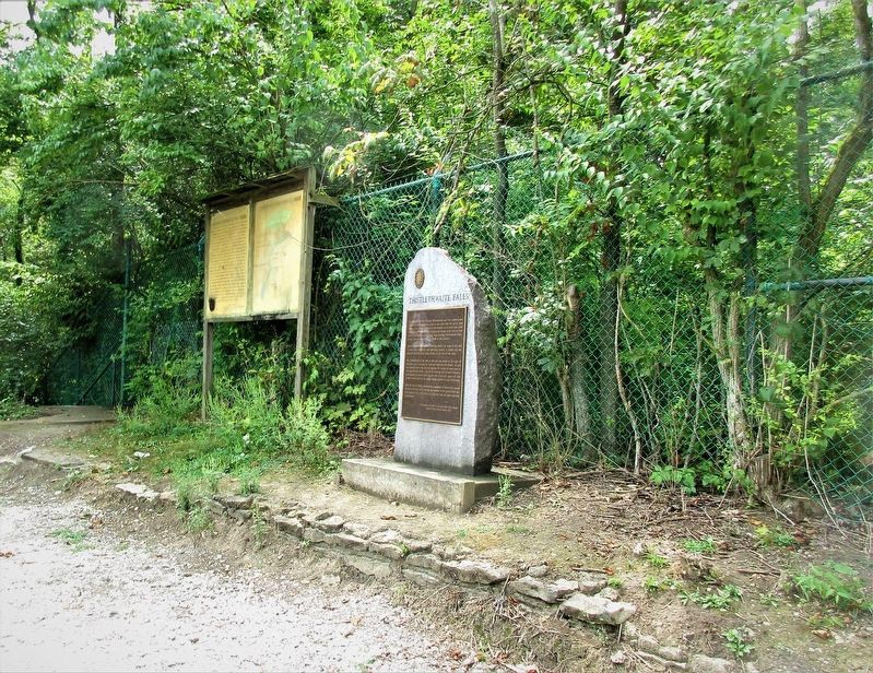
Location. 39° 50.841′ N, 84° 53.886′ W. Marker is near Richmond, Indiana, in Wayne County. Marker is on Waterfall Road, on the right when traveling east. Marker is at the west bank of the falls, several hundred feet south of Waterfall Road. Touch for map. Marker is at or near this postal address: 65 Waterfall Rd, Richmond IN 47374, United States of America. Touch for directions.
Other nearby markers. At least 8 other markers are within one mile of this marker, measured as the crow flies. The Four Boulders (approx. 0.9 miles away); Richmond's Record Roots (approx. one mile away); Mary B. Thistlethwaite Birdsall Home (approx. one mile away); Bell UH-1 Iroquois (Huey) (approx. 1.1 miles away); United States Conflicts 1980-1996 (approx. 1.1 miles away); Operation Iraqi Freedom/Operation Enduring Freedom (approx. 1.1 miles away); 9/11 Memorial (approx. 1.1 miles away); Wayne County Vietnam Memorial (approx. 1.1 miles away). Touch for a list and map of all markers in Richmond.
Credits. This page was last revised on August 11, 2023. It was originally submitted on September 2, 2019, by Rev. Ronald Irick of West Liberty, Ohio. This page has been viewed 374 times since then and 41 times this year. Photos: 1, 2, 3, 4. submitted on September 2, 2019, by Rev. Ronald Irick of West Liberty, Ohio. 5. submitted on June 7, 2023, by Craig Doda of Napoleon, Ohio. 6. submitted on July 14, 2023, by Craig Doda of Napoleon, Ohio. 7, 8. submitted on September 2, 2019, by Rev. Ronald Irick of West Liberty, Ohio. • Bill Pfingsten was the editor who published this page.
