
Bowling Green in Warren County, Kentucky — The American South (East South Central)
Jonesville
Photographed by Tom Bosse, July 5, 2019
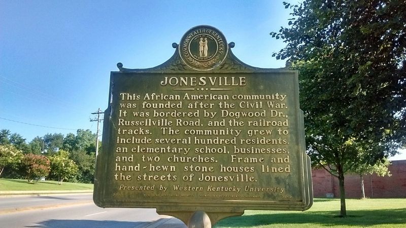
1. Jonesville Marker (Side 1)
Side 1
This African American community was founded after the Civil War. It was bordered by Dogwood Dr., Russellville Road, and the railroad tracks. The community grew to include several hundred residents, an elementary school, businesses, and two churches. Frame and hand-hewn stone houses lined the streets of Jonesville. Presented by Western Kentucky University.
Side 2
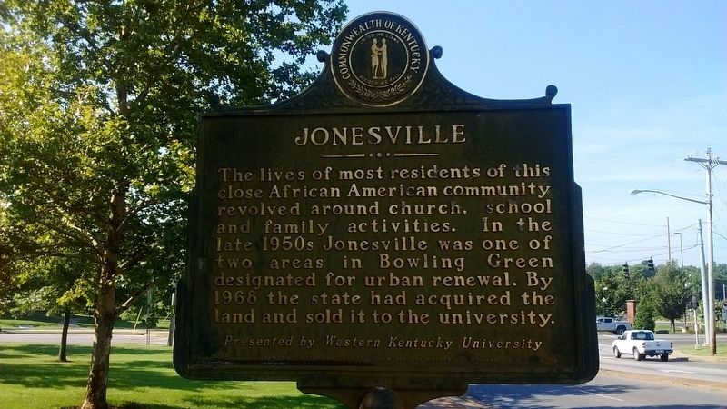
The lives of most residents of this close African American community revolved around church, school and family activities. In the late 1950s Jonesville was one of two areas in Bowling Green designated for urban renewal. By 1968 the state had acquired the land and sold it to the university. Presented by Western Kentucky University.
Erected 2000 by Kentucky Historical Society & Kentucky Department of Highways. (Marker Number 2052.)
Topics. This historical marker is listed in these topic lists: African Americans • Settlements & Settlers. A significant historical year for this entry is 1968.
Location. 36° 58.944′ N, 86° 27.709′ W. Marker is in Bowling Green, Kentucky, in Warren County. It is at the intersection of University Drive (Business U.S.
this page online

Regionally, this marker is in Kentucky’s Pennyroyal Region. It is also in the American Midwest, in the South, and specifically in the Upper South. Globally, it is in North America, the Western Hemisphere, the Western World, and the Anglosphere. Historically, it finds itself in what was once the territory of the Mississippian Culture and also the Antebellum South.
Other nearby markers. At least 8 other markers are within walking distance of this marker: Bowling Green College of Commerce (approx. 0.4 miles away); W.L. "Gander" Terry Colonnade (approx. 0.6 miles away); Confederate State Capital of Kentucky (approx. 0.6 miles away); Omega Psi Phi Fraternity Inc. History (approx. 0.6 miles away); Felts Log House (approx. 0.6 miles away); Fort Albert Sidney Johnston (approx. 0.7 miles away); Potter College (approx. 0.7 miles away); Henry Hardin Cherry (approx. 0.7 miles away). Touch for a list and map of all markers
Photographed by Tom Bosse, July 5, 2019
2. Jonesville Marker (Side 2)
Photographed by Tom Bosse, July 5, 2019
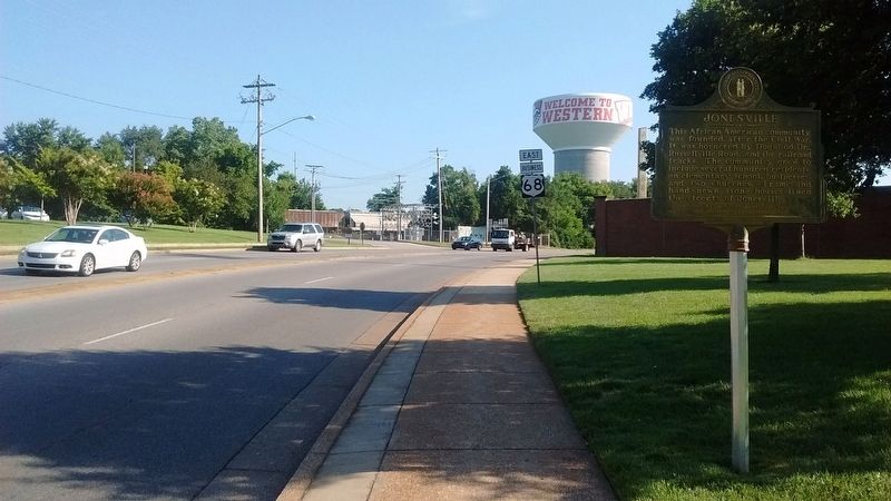
3. Jonesville Marker
Photographed by Tom Bosse, July 5, 2019
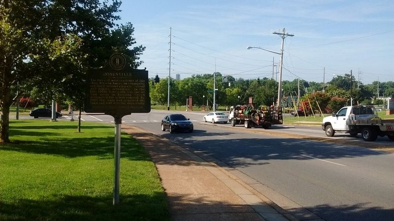
4. Jonesville Marker
Credits. This page was last revised on September 3, 2019. It was originally submitted on September 2, 2019, by Tom Bosse of Jefferson City, Tennessee. This page has been viewed 1,191 times since then and 109 times this year. Photos: 1, 2, 3, 4. submitted on September 2, 2019, by Tom Bosse of Jefferson City, Tennessee. • Bill Pfingsten was the editor who published this page.
