Hudson Falls in Washington County, New York — The American Northeast (Mid-Atlantic)
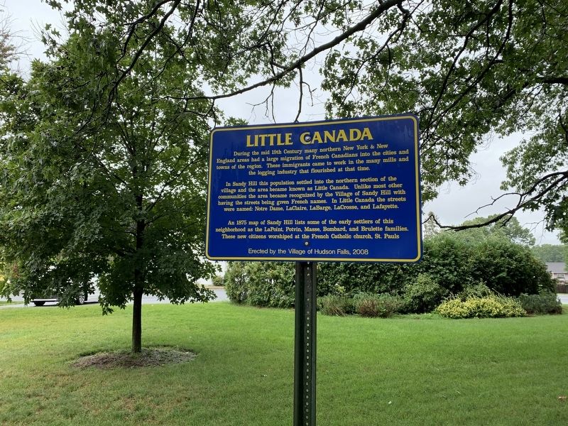
Little Canada
In Sandy Hill this population settled into the northern section of the village and the area became known as Little Canada. Unlike most other communities the area became recognized by the Village of Sandy Hill with having the streets being given French names. In Little Canada the streets were named: Notre Dame, LaClaire, LaBarge, LaCrosse, and Lafayette.
An 1875 map of Sandy Hill lists some of the early settlers of this neighborhood as the LaPoint, Potvin, Masse, Bombard, and Brulette families. These new citizens worshiped at the French Catholic church, St. Pauls
Erected 2008 by Village of Hudson Falls.
Topics. This historical marker is listed in this topic list: Settlements & Settlers. A significant historical year for this entry is 1875.
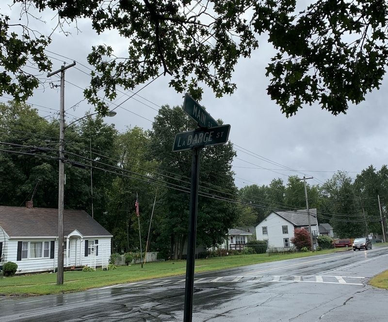
Location. 43° 18.699′ N, 73° 34.742′ W. Marker is in Hudson Falls, New York, in Washington County. Marker is at the intersection of Main Street (U.S. 4) and La Barge Street, on the left when traveling north on Main Street. Touch for map. Marker is in this post office area: Hudson Falls NY 12839, United States of America. Touch for directions.
Other nearby markers. At least 8 other markers are within walking distance of this marker. Martindale Boat Basin (approx. 0.4 miles away); Military Road (approx. 0.6 miles away); Gen. Henry Knox Trail (approx. 0.6 miles away); Sandy Hill (approx. 0.7 miles away); Coal Silos (approx. 0.7 miles away); Townsend Harris (approx. 0.7 miles away); Four Mile Post (approx. ¾ mile away); Gen. Washington (approx. 0.8 miles away). Touch for a list and map of all markers in Hudson Falls.
Credits. This page was last revised on September 3, 2019. It was originally submitted on September 2, 2019, by Steve Stoessel of Niskayuna, New York. This page has been viewed 328 times since then and 39 times this year. Photos: 1, 2. submitted on September 2, 2019, by Steve Stoessel of Niskayuna, New York. • Bill Pfingsten was the editor who published this page.

