Brighton Heights in Pittsburgh in Allegheny County, Pennsylvania — The American Northeast (Mid-Atlantic)
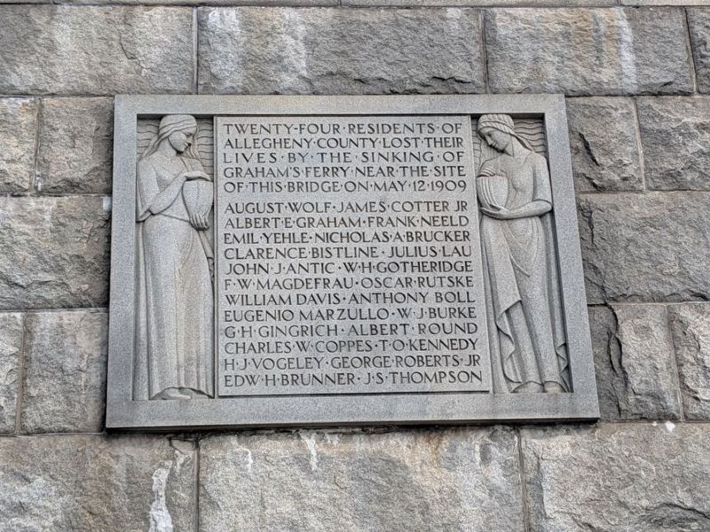
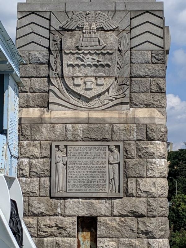
Twenty-Four Residents
Photographed by Mike Wintermantel
1. Twenty-Four Residents Marker
August Wolf • James Cotter Jr • Albert E Graham • Frank Neeld • Emil Yehle • Nicholas A Brucker • Clarence Bistline • Julius Lau • John W Antic • WH Gotheridge • FW Magdefrau • Oscar Rutske • William Davis • Anthony Boll • Eugenio Marzullo • WJ Burke • GH Gingrich • Albert Round • Charles W Coppes • TO Kennedy • HJ Vogeley • George Roberts Jr • Edw H Brunner • JS Thompson
Topics and series. This historical marker is listed in these topic lists: Disasters • Waterways & Vessels. In addition, it is included in the Lost at Sea series list. A significant historical date for this entry is May 12, 1909.
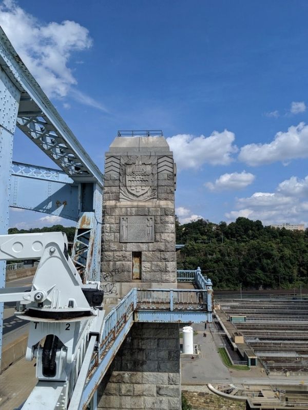
Location. 40° 28.646′ N, 80° 2.824′ W. Marker is in Pittsburgh, Pennsylvania, in Allegheny County. It is in Brighton Heights. It can be reached from McKees Rocks Bridge 0.2 miles south of Ohio River Boulevard (Pennsylvania Route 65), on the right when traveling north. Marker is mounted on the Northeast bridge column of the McKees Rocks Bridge. Touch for map. Marker is in this post office area: Pittsburgh
this page online

Regionally, this marker is in the American Northeast, in the Mid-Atlantic, in the Ohio River Valley, in Appalachia, and specifically in Northern Appalachia. Globally, it is in North America, the Western Hemisphere, the Western World, and the Anglosphere. Historically, it finds itself in what was once the Viceroyalty of New France, the Haudenosaunee (Iroquois) Confederacy, and one of the original Thirteen Colonies.
Other nearby markers. At least 8 other markers are within 2 miles of this marker, measured as the crow flies: McKees Rocks Mound (approx. 0.4 miles away); St. Mary's Ukrainian Orthodox Church (approx. 0.6 miles away); 1909 McKee's Rocks Strike (approx. 0.7 miles away); In Memory of John (Jack) Brennan (approx. 0.8 miles away); The McKee Mansion (approx. 0.9 miles away); Presston (approx. 0.9 miles away); Esplen Honor Roll (approx. one mile away); Michael A. Musmanno (approx. 1.2 miles away). Touch for a list and map of all markers in Pittsburgh.
Also see . . .
1. McKees Rocks Bridge at Historic Bridges.org. (Submitted on September 3, 2019, by Mike Wintermantel of Pittsburgh, Pennsylvania.)
2. The Sinking of Pittsburgh's Titanic.
Photographed by Mike Wintermantel
2. Twenty-Four Residents Marker
Photographed by Mike Wintermantel
3. Twenty-Four Residents Marker
Credits. This page was last revised on February 2, 2023. It was originally submitted on September 3, 2019, by Mike Wintermantel of Pittsburgh, Pennsylvania. This page has been viewed 1,187 times since then and 39 times this year. Photos: 1, 2, 3. submitted on September 3, 2019, by Mike Wintermantel of Pittsburgh, Pennsylvania.
