Lancaster in Worcester County, Massachusetts — The American Northeast (New England)
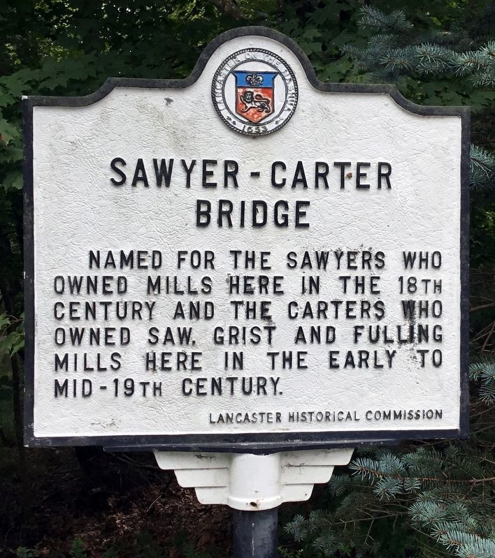
Sawyer-Carter Bridge
Erected by Lancaster Historical Commission.
Topics. This historical marker is listed in these topic lists: Bridges & Viaducts • Colonial Era • Industry & Commerce.
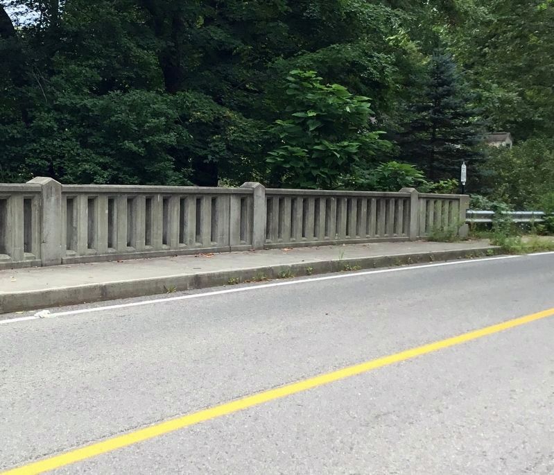
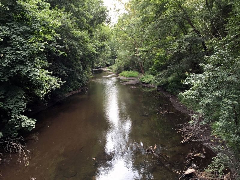
Location. 42° 26.308′ N, 71° 40.875′ W. Marker is in Lancaster, Massachusetts, in Worcester County. Marker is on Mill Street, on the right when traveling east. Marker is just where the bridge begins to cross the Nashua River. Touch for map. Marker is in this post office area: Lancaster MA 01523, United States of America. Touch for directions.
Other nearby markers. At least 8 other markers are within 3 miles of this marker, measured as the crow flies. Rowlandson Rock (approx. 0.4 miles away); Site of Mary Rowlandson’s Capture (approx. 0.8 miles away); Site of the Great Elm (approx. 0.8 miles away); a different marker also named Rowlandson Rock (approx. 1.1 miles away); Prescott Grist Mill (approx. 1.2 miles away); Neck Bridge (approx. 1.3 miles away); Lancaster (approx. 1.9 miles away); Mary Sawyer’s Birthplace (approx. 2.9 miles away). Touch for a list and map of all markers in Lancaster.
Also see . . . Sawyer Blog. Despite an initial disclaimer, the blogger provides many leads for those interested in the early Sawyer families of Lancaster. (Submitted on September 3, 2019, by Roger W. Sinnott of Chelmsford, Massachusetts.)
Credits. This page was last revised on September 5, 2019. It was originally submitted on September 3, 2019, by Roger W. Sinnott of Chelmsford, Massachusetts. This page has been viewed 312 times since then and 39 times this year. Photos: 1, 2, 3. submitted on September 3, 2019, by Roger W. Sinnott of Chelmsford, Massachusetts. • Bill Pfingsten was the editor who published this page.


