St. Mary's City in St. Mary's County, Maryland — The American Northeast (Mid-Atlantic)
Reclaiming the Lost City
Discovering
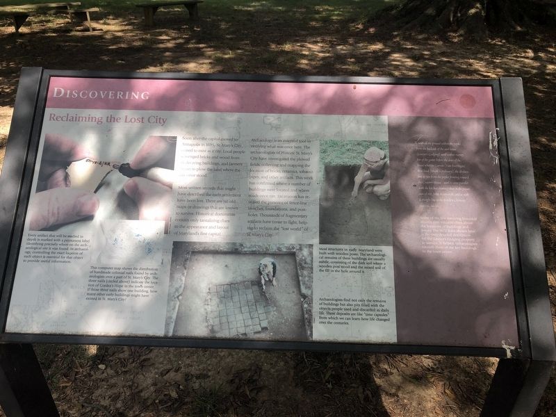
Most written records that might have been lost. There are no old maps or drawings that are known to survive. Historical documents contain only tantalizing clues to the appearance and layout of Maryland's first capital.
Archaeology is an essential tool in verifying what was once here. The archaeologists of Historic St. Mary's City have investigated the plowed fields, collecting and mapping the location of bricks, ceramics, tobacco pipes, and other artifacts. This work has confirmed where a number of buildings were located and where roads once ran. Excavation has revealed the presence of fence-line trenches, foundations, and postholes. Thousands of fragmentary artifacts have come to light, helping to reclaim the "lost world" of St. Mary's City.
[Captions:]
Every artifact that will be studied in depth is marked with a permanent label identifying precisely where on the archaeological site it was found. In archaeology, controlling the exact location of each object is essential for that object to provide useful information.
This computer map shows the distribution of handmade colonial nails found by archaeologists over a part of St. Mary's City. The three nails (circled above) indicate the location of Cordea's Hope in the town center. If those three nails show one building, how many other early buildings might have existed in St. Mary's City?
Most structures in early Maryland were built with wooden posts. The archaeological remains of these buildings are usually subtle, consisting of the dark soil where a wooden post stood and the mixed soil of the fill in the hole around it.
Archaeologists find not only the remains of buildings but also pits filled with the objects people used and discarded in daily life. These deposits are like "time capsules" from which we can learn how life changed over the centuries.
[Aside:]
"...with all the ground within the payles from the backside of the said house [Lawyer's Lodging] until within twenty feet of the gutter before the door of the house wherein Garrett [Van Sweringen] then lived [Smith's Ordinary], the division line to run from the payles fronting toward the Country House...until it come parallel with the kitchen chimney then in the possession of Mr. John Moorecroft, and so with a straight line to the Kitchen Chimney."
Some of the few surviving historical records give valuable clues about the locations of buildings and fences.
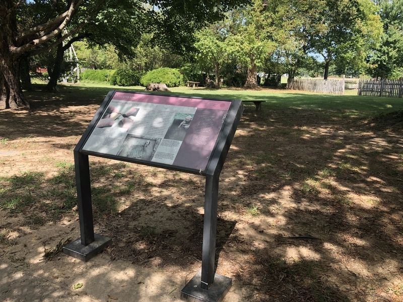
Erected by Historic St. Mary's City.
Topics. This historical marker is listed in these topic lists: Colonial Era • Settlements & Settlers. A significant historical year for this entry is 1695.
Location. 38° 11.055′ N, 76° 26.015′ W. Marker is in St. Mary's City, Maryland, in St. Mary's County. Marker is on Aldermanbury Street Footpath just west of Middle Street Path. Touch for map. Marker is in this post office area: Saint Marys City MD 20686, United States of America. Touch for directions.
Other nearby markers. At least 8 other markers are within walking distance of this marker. Layers of the Past (within shouting distance of this marker); Witness to History (within shouting distance of this marker); A Time of Troubles (within shouting distance of this marker); From Slavery to Freedom (about 300 feet away, measured in a direct line); The Arrival of Governor Copley (about 400 feet away); A Place to Talk, Drink, & Smoke (about 400 feet away); ...and Coffee House (about 400 feet away); Early Signs of Industry (about 400 feet away). Touch for a list and map of all markers in St. Mary's City.
Credits. This page was last revised on September 3, 2019. It was originally submitted on September 3, 2019, by Devry Becker Jones of Washington, District of Columbia. This page has been viewed 134 times since then and 9 times this year. Photos: 1, 2. submitted on September 3, 2019, by Devry Becker Jones of Washington, District of Columbia.

