Woodstock, New Brunswick — The Atlantic Provinces (North America)
Woodstock Baptist Church
694 Main Street
⎯⎯⎯
Église Baptiste de Woodstock
694, rue Main
Photographed by Cosmos Mariner, July 31, 2019
1. Woodstock Baptist Church / Église Baptiste de Woodstock Marker

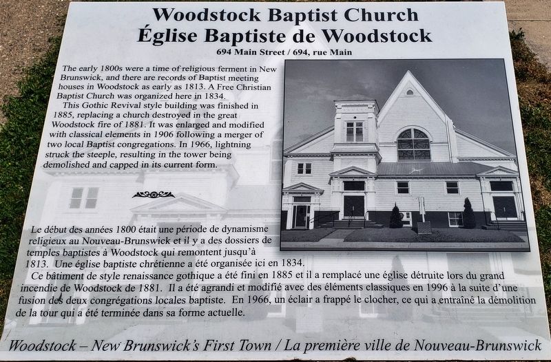
The early 1800s were a time of religious ferment in New Brunswick, and there are records of Baptist meeting houses in Woodstock as early as 1813. A Free Christian Baptist Church was organized here in 1834.
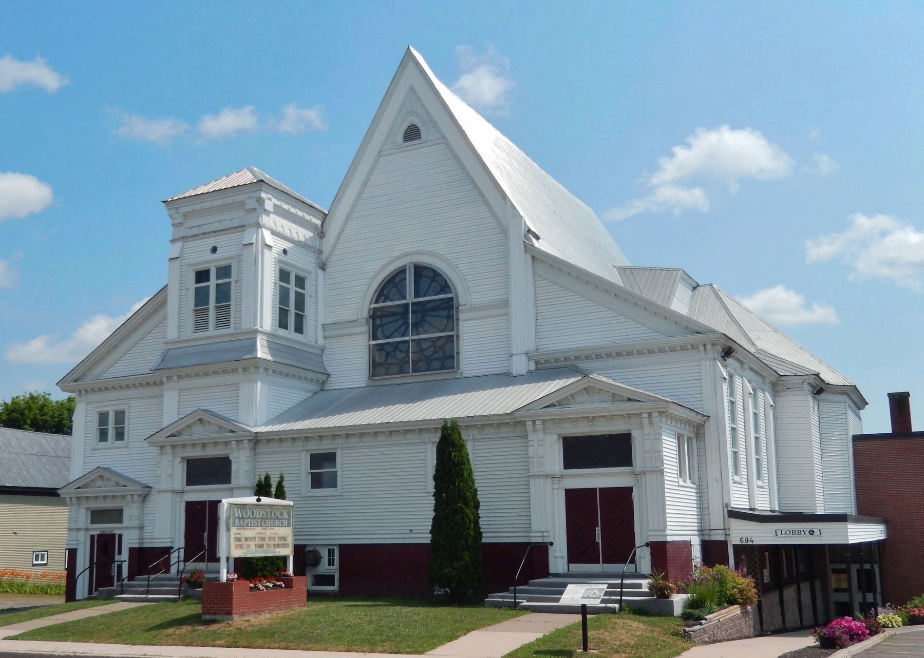
This Gothic Revival style building was finished in 1885, replacing a church destroyed in the great Woodstock fire of 1881. It was enlarged and modified with classical elements in 1906 following a merger of two local Baptist congregations. In 1966, lightning struck the steeple, resulting in the tower being demolished and capped in its current form.
Le début des années 1800 était une période de dynamisme religieux au Nouveau-Brunswick et il y a des dossiers de temples baptistes à Woodstock qui remontent jusqu'à 1813. Une église baptiste chrétienne a été organisée ici en 1834.
Ce bâtiment de style renaissance gothique a été fini en 1885 et il a remplacé une église détruite lors du grand incendie de Woodstock de 1881. Il a été agrandi et modifié avec des éléments classiques en 1996 à la suite d'une fusion des deux congrégations locales baptiste. En 1966, un éclair a frappé le clocher, ce
this page online
Erected by Woodstock - New Brunswick's First Town / La première ville du Nouveau-Brunswick.
Topics. This historical marker is listed in these topic lists: Architecture • Religion & Religious Structures. A significant historical year for this entry is 1885.
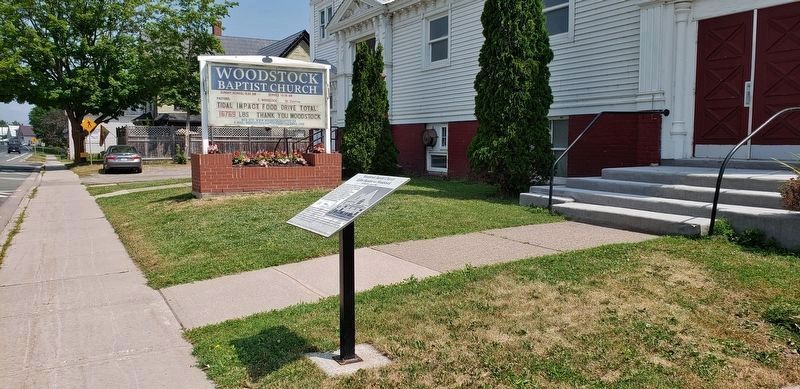
Location. 46° 9.141′ N, 67° 34.353′ W. Marker is in Woodstock, New Brunswick. It is on Main Street (Route 103) north of Church Street, on the right when traveling north. Marker is located beside the sidewalk, directly in front of the subject church. Touch for map. Marker is at or near this postal address: 694 Main Street, Woodstock NB E7M 2E3, Canada. Touch for directions.

Regionally, this marker is in New Brunswick’s Fredericton & River Valley. It is also in the Maritimes and in Atlantic Canada. Globally, it is in the North Atlantic Region, North America, the Western Hemisphere, the Western World, and the Anglosphere. Historically, it finds itself in what was once a British colony, the Viceroyalty of New France, and Acadia.
Other nearby markers. At least 8 other markers
Photographed by Cosmos Mariner, July 31, 2019
2. Woodstock Baptist Church Marker
(wide view looking north along Main Street)
(wide view looking north along Main Street)
Photographed by Cosmos Mariner, July 31, 2019
3. Woodstock Baptist Church / Église Baptiste de Woodstock
(marker visible • bottom right)
(marker visible • bottom right)
Credits. This page was last revised on September 7, 2019. It was originally submitted on September 4, 2019, by Cosmos Mariner of Cape Canaveral, Florida. This page has been viewed 430 times since then and 39 times this year. Photos: 1, 2, 3. submitted on September 6, 2019, by Cosmos Mariner of Cape Canaveral, Florida.
