Near Logan in Hocking County, Ohio — The American Midwest (Great Lakes)
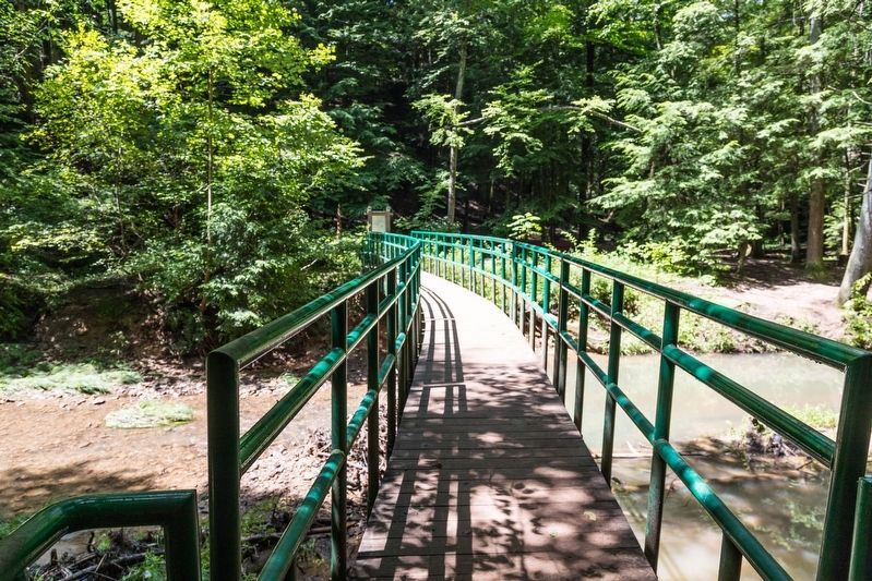
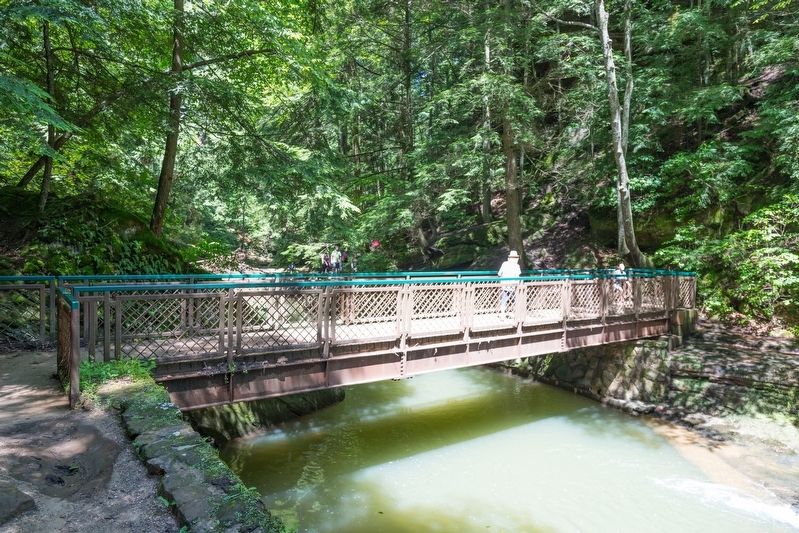
Cedar Falls Bent Bridge
— Hocking Hills State Park & Forest —
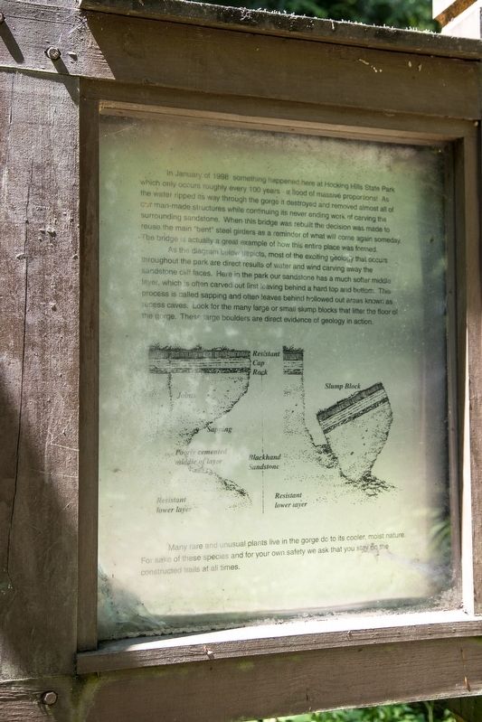
As the diagram below depicts, most of the exciting geology that occurs throughout the park are direct results of water and wind carving away the sandstone cliff faces. Here in the park our sandstone has a much softer middle layer, which is often carved out first leaving behind a hard top and bottom. This process is called sapping and often leaves behind hollowed out areas known as recess caves. Look for the many large or small slump blocks that litter the floor of the gorge. These large boulders are direct evidence of geology in action.
Many rare and unusual plants live in the gorge due to its cooler, moist nature. For the sake of these species and for your own safety we ask that you stay on the constructed trails at all times.
Topics. This historical marker is listed in these topic lists: Bridges & Viaducts • Natural Features. A significant historical month for this entry is January 1998.
Location. 39° 25.164′ N, 82° 31.614′ W. Marker is near Logan, Ohio, in Hocking County. Marker can be reached from Ohio Route 374, 1.9 miles south of Ohio Route 664. The parking area for Cedar Falls is well signed. It is 2 miles north of Ohio Route 56. Touch for map. Marker is in this post office area: Logan OH 43138, United States of America. Touch for directions.
Other nearby markers. At least 8 other markers are within 2 miles of this marker, measured as the crow flies. Cedar Falls (about 600 feet away, measured in a direct line); Old Man’s Cave (approx. 1.3 miles away); a different marker also named Old Man’s Cave (approx. 1.3 miles away); Sphinx Head (approx. 1.3 miles away); Devil’s Bathtub (approx. 1.3 miles away); Whispering Cave (approx. 1.4 miles away); Our Inspirations (approx. 1.7 miles away); Ash Cave (approx. 1.7 miles away). Touch for a list and map of all markers in Logan.
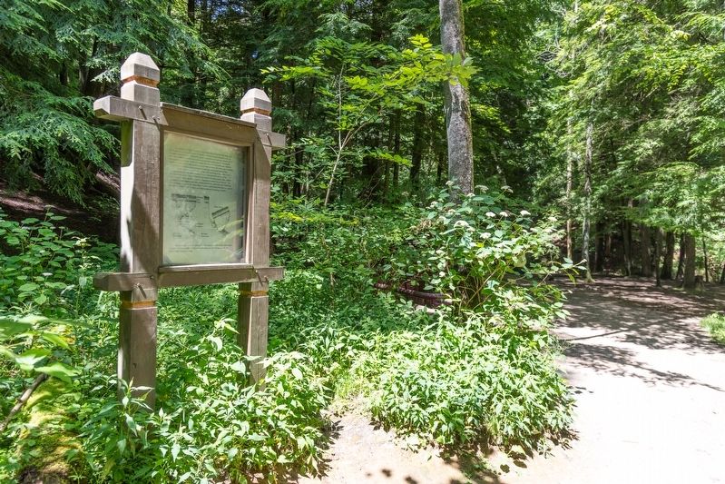
More about this marker. From the lower parking lot, it is a 3 minute walk down into the gorge to this sign.
Credits. This page was last revised on September 7, 2019. It was originally submitted on September 5, 2019, by J. J. Prats of Powell, Ohio. This page has been viewed 488 times since then and 37 times this year. Photos: 1, 2, 3, 4. submitted on September 5, 2019, by J. J. Prats of Powell, Ohio.


