Railroads in Mineola
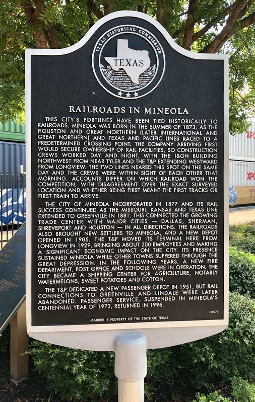
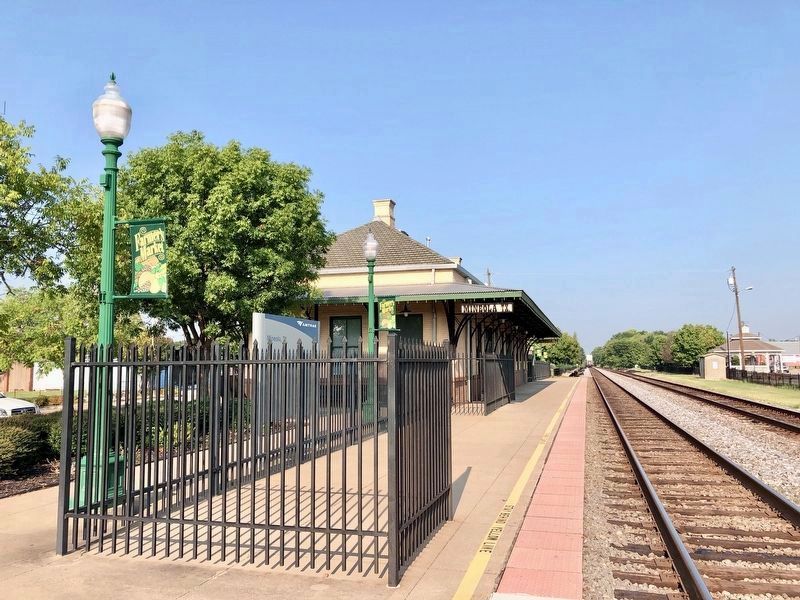
The City of Mineola incorporated in 1877 and its rail success continued as the Missouri, Kansas and Texas line extended to Greenville in 1881. This connected the growing trade center with major cities -- Dallas, Sherman, Shreveport and Houston -- in all directions. The railroads also brought new settlers to Mineola, and a new depot opened in 1905. The T&P moved its terminal here from Longview in 1929, bringing about 200 employees and making a significant economic impact on the city. Its presence sustained Mineola while other towns suffered through the Great Depression. In the following years, a new fire department, post office and schools were in operation. The city became a shipping center for agriculture, notably watermelons, sweet potatoes and cotton.
The T&P dedicated a new passenger depot in 1951, but rail connections to Greenville and Lindale were later abandoned. Passenger service, suspended in Mineola's centennial year of 1973, returned in 1996.
Erected 2007 by Texas Historical Commission. (Marker Number 13936.)
Topics. This historical marker is listed
this page online
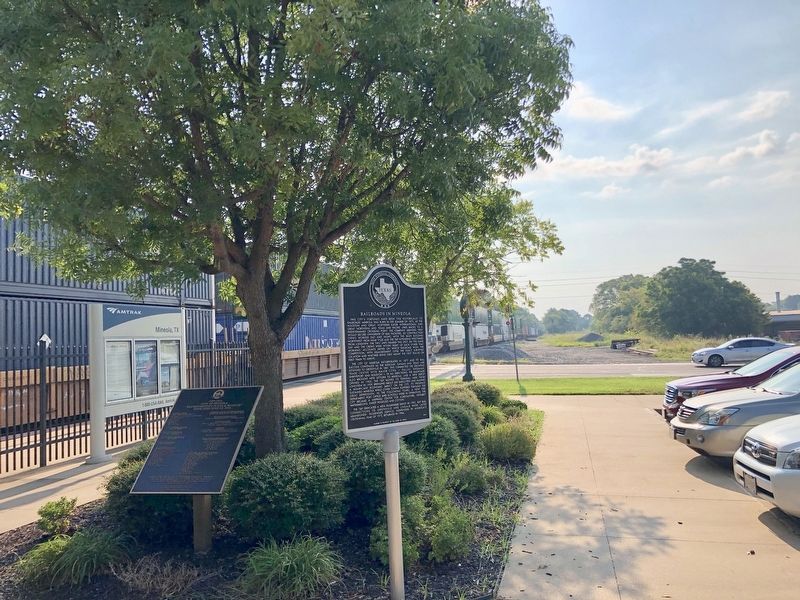
Location. 32° 39.723′ N, 95° 29.333′ W. Marker is in Mineola, Texas, in Wood County. It is at the intersection of East Front Street and South Pacific Street (U.S. 69), on the left when traveling east on East Front Street. At the Mineola Train Depot. Touch for map. Marker is at or near this postal address: 115 East Front Street, Mineola TX 75773, United States of America. Touch for directions.

Regionally, this marker is in the American South, specifically in the Deep South, and in the Piney Woods. Globally, it is in North America, a Gulf of Mexico state, the Western Hemisphere, the Western World, and the Anglosphere. Historically, it finds itself in what was once New Spain, the Republic of Texas, one of the Confederate States of America, and the Antebellum South.
Other nearby markers. At least 8 other markers are within walking distance of this marker: Mineola (within shouting distance of this marker); Saloons in Mineola (about 300 feet away, measured in a direct line); C. W. Raines (about 300 feet away); Site of the Coleman Family Drug Store and Clinic
Credits. This page was last revised on September 5, 2019. It was originally submitted on September 5, 2019, by Mark Hilton of Montgomery, Alabama. This page has been viewed 599 times since then and 50 times this year. Photos: 1, 2, 3. submitted on September 5, 2019, by Mark Hilton of Montgomery, Alabama.
