Woodstock, New Brunswick — The Atlantic Provinces (North America)
L.P. Fisher Vocational School
138 Chapel Street
⎯⎯⎯
École professionnelle L.P. Fisher
138, rue Chapel
Photographed by Cosmos Mariner, July 31, 2019
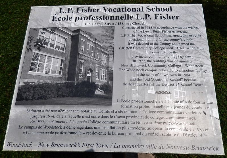
1. L.P. Fisher Vocational School / École professionnelle L.P. Fisher Marker

Constructed in 1913 in accordance with the wishes of the Lewis Peter Fisher estate, the L.P. Fisher Vocational School was erected to provide vocational training for the county's youth. It was deeded to the County and named the Carleton Community College until 1974 at which time it became part of the provincial community college system. In 1977, the building was designated New Brunswick Community College — Woodstock. The Woodstock campus relocated to a modern facility in the heart of downtown in 1984 and the "old Vocational School" became the headquarters of the District 14 School Board.
L'École professionnelle a été établie afin de fournir une formation professionnelle aux jeunes du comte. Le bâtiment a été transféré par acte notarié au Comté et a été nommé le Collège communautaire Carleton jusqu'en 1974, date à laquelle il est entré dans le réseau provincial de collèges communautaires. En 1977, le bâtiment a été appelé Collège communautaire du Nouveau-Brunswick — Woodstock. Le campus de Woodstock a déménagé dans une installation plus moderne au coeur du cente-ville en 1984 et « l'ancienne
this page online
Erected by Woodstock — New Brunswick's First Town / La première ville du Nouveau-Brunswick.
Topics. This historical marker is listed in this topic list: Education. A significant historical year for this entry is 1913.
Location. 46° 9.155′ N, 67° 34.686′ W. Marker is in Woodstock, New Brunswick. It is on Chapel Street east of Cedar Street, on the right when traveling west. Marker is located beside the sidewalk, directly in front of the subject school building. Touch for map. Marker is at or near this postal address: 138 Chapel Street, Woodstock NB E7M 1H3, Canada. Touch for directions.

Regionally, this marker is in New Brunswick’s Fredericton & River Valley. It is also in the Maritimes and in Atlantic Canada. Globally, it is in the North Atlantic Region, North America, the Western Hemisphere, the Western World, and the Anglosphere. Historically, it finds itself in what was once a British colony, the Viceroyalty of New France, and Acadia.
Other nearby markers. At least 8 other markers are within walking distance of
Photographed by Cosmos Mariner, July 31, 2019
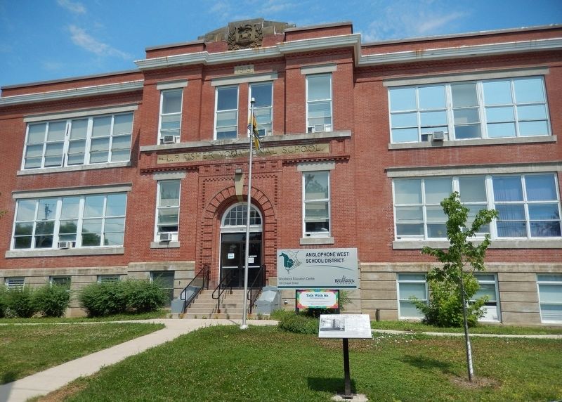
2. L.P. Fisher Vocational School Marker (wide view)
Photographed by Cosmos Mariner, July 31, 2019
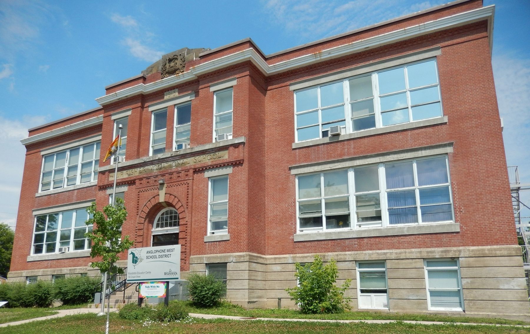
3. L.P. Fisher Vocational School / École professionnelle L.P. Fisher
(view fron near marker)
(view fron near marker)
Credits. This page was last revised on May 15, 2024. It was originally submitted on September 5, 2019, by Cosmos Mariner of Cape Canaveral, Florida. This page has been viewed 378 times since then and 35 times this year. Photos: 1, 2, 3. submitted on September 7, 2019, by Cosmos Mariner of Cape Canaveral, Florida.
