Near Cohoes in Albany County, New York — The American Northeast (Mid-Atlantic)
New York Power Authority
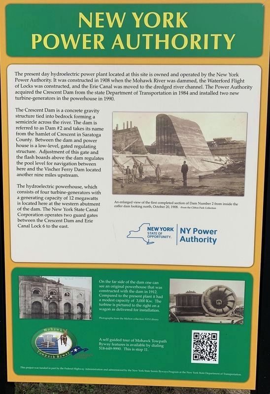
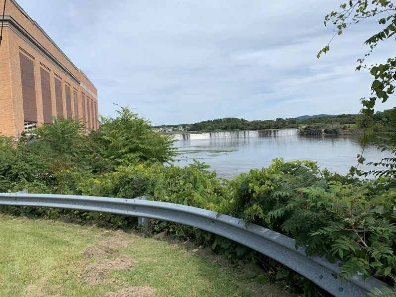
The Crescent Dam is a concrete gravity structure tied into bedrock forming a semicircle across the river. The dam is referred to as Dam #2 and takes its name from the hamlet of Crescent in Saratoga County. Between the dam and power house is a low-level, gated regulating structure. Adjustment of this gate and the flash boards above the dam regulates the pool level for navigation between here and the Vischer Ferry Dam located another nine miles upstream.
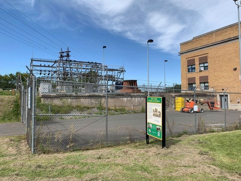
The hydroelectric powerhouse, which consists of four turbine-generators with a generating capacity of 12 megawatts is located here at the western abutment of the dam. The New York State Canal Corporation operates two guard gates between the Crescent Dam and Erie Canal Lock 6 to the east.
On the far side of the dam one can original powerhouse that was constructed with the dam in 1912. see an Compared to the present plant it had a modest capacity of 3,000 Kw. The turbine is pictured to the right wagon as delivered for installation.
Erected by NY Power Authority/America’s Byways.
Topics. This historical marker is listed in these topic lists: Industry & Commerce • Man-Made Features. A significant historical date for this entry is May 16, 1908.
Location. 42° 48.317′ N, 73° 43.395′ W. Marker is near Cohoes, New York, in Albany County. Marker is on Cohoes-Crescent Road, on the right when traveling north. Touch for map. Marker is in this post office area: Cohoes NY 12047, United States of America. Touch for directions.
Other nearby markers. At least 8 other markers are within 2 miles of this marker, measured as the crow flies. Old Military Crossing (here, next to this marker); a different marker also named Old Military Crossing (about 300 feet away, measured in a direct line); Gen. Henry Knox Trail (approx. 0.6 miles away); Fonda Cemetery (approx. 0.6 miles away); Loudoun Ferry Road (approx. 0.9 miles away); Crescent Aqueduct (approx. 1.3 miles away); Crescent (approx. 1.3 miles away); Crescent / Mohawk Towpath Byway / Halfmoon (approx. 1.4 miles away). Touch for a list and map of all markers in Cohoes.
Credits. This page was last revised on May 9, 2020. It was originally submitted on September 5, 2019, by Steve Stoessel of Niskayuna, New York. This page has been viewed 216 times since then and 38 times this year. Photos: 1, 2, 3, 4. submitted on September 5, 2019, by Steve Stoessel of Niskayuna, New York. • Andrew Ruppenstein was the editor who published this page.


