Hartland, New Brunswick — The Atlantic Provinces (North America)
Town of Hartland
Photographed by Cosmos Mariner, July 31, 2019
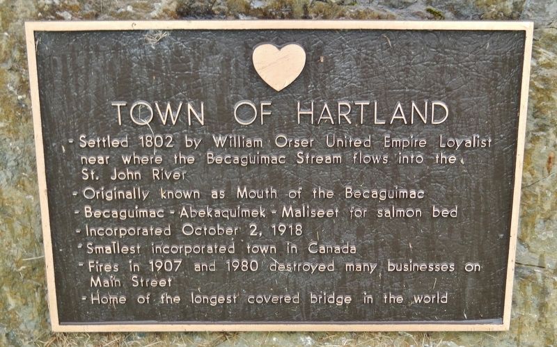
1. Town of Hartland Marker
• Settled 1802 by William Orser United Empire Loyalist near where the Becaguimac Stream flows into the St. John River
• Originally known as Mouth of the Becaguimac
• Becaguimac — Abekaquimek — Maliseet for salmon bed
• Incorporated October 2, 1918
• Smallest incorporated town in Canada
• Fires in 1907 and 1980 destroyed many businesses on Main Street
• Home of the longest covered bridge in the world
Topics and series. This historical marker is listed in these topic lists: Bridges & Viaducts • Disasters • Settlements & Settlers • Waterways & Vessels. In addition, it is included in the Covered Bridges series list. A significant historical year for this entry is 1802.
Location. 46° 18.151′ N, 67° 31.746′ W. Marker is in Hartland, New Brunswick. It can be reached from Main Street (Route 105) south of Mill Street, on the right when traveling south. Marker is located near the New Brunswick Trail, in a wayside park just north of where the Becaguimac Stream flows into the St. John River. Touch for map. Marker is at or near this postal address: Main Street, Hartland NB E7P, Canada. Touch for directions.

Regionally,
this page online
Other nearby markers. At least 8 other markers are within 18 kilometers of this marker, measured as the crow flies: Hartland Salmon Pool / Fosse à saumon de Hartland (approx. 0.4 kilometers away); St. John River (approx. half a kilometer away); Hartland Covered Bridge / Le Pont Couvert de Hartland (approx. 0.6 kilometers away); Dr. W.D. Rankin House / Maison du Dr. W.D. Rankin (approx. 16.7 kilometers away); Dr. Prescott Private Hospital / Hôpital privé Dr Prescott (approx. 16.9 kilometers away); Woodstock Baptist Church / Église Baptiste de Woodstock (approx. 17 kilometers away); 7.7cm Feldkanone (Field Cannon) / Canon de terrain (approx. 17 kilometers away); Carleton County Court House / Palais je Justice du comté de Carleton (approx. 17.1 kilometers away). Touch for a list and map of all markers
Photographed by Cosmos Mariner, July 31, 2019
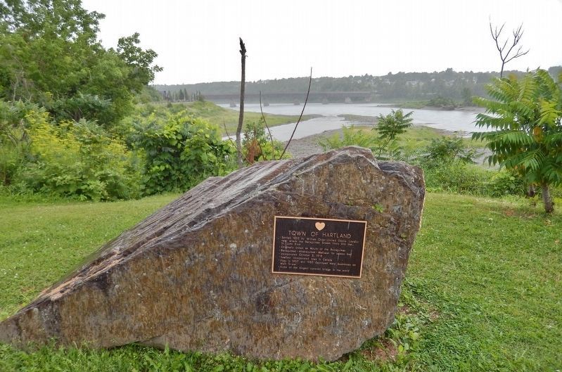
2. Town of Hartland Marker
(wide view looking south across the St. John River)
(wide view looking south across the St. John River)
The Hartland Bridge, longest covered bridge in the world, is visible crossing the St. John River in the background.
Also see . . . Hartland, New Brunswick (Wikipedia). The first settler in the area of what would become Hartland was William Orser (b.1762). William traveled there from New York with his wife and six children. His wife died of an illness and he remarried to a widow, Mary Blake, who also had six children. The pair later conceived an additional six children. (Submitted on September 8, 2019, by Cosmos Mariner of Cape Canaveral, Florida.)
Photographed by Cosmos Mariner, July 31, 2019
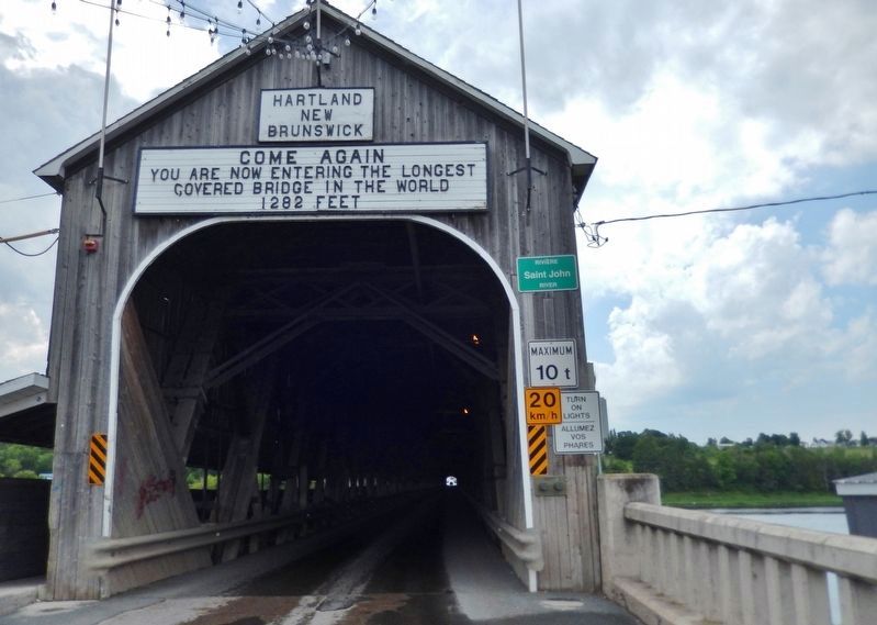
3. Hartland Covered Bridge Entrance
(about 6/10 km south of marker on Hartland Hill Road)
(about 6/10 km south of marker on Hartland Hill Road)
Photographed by Cosmos Mariner, July 31, 2019
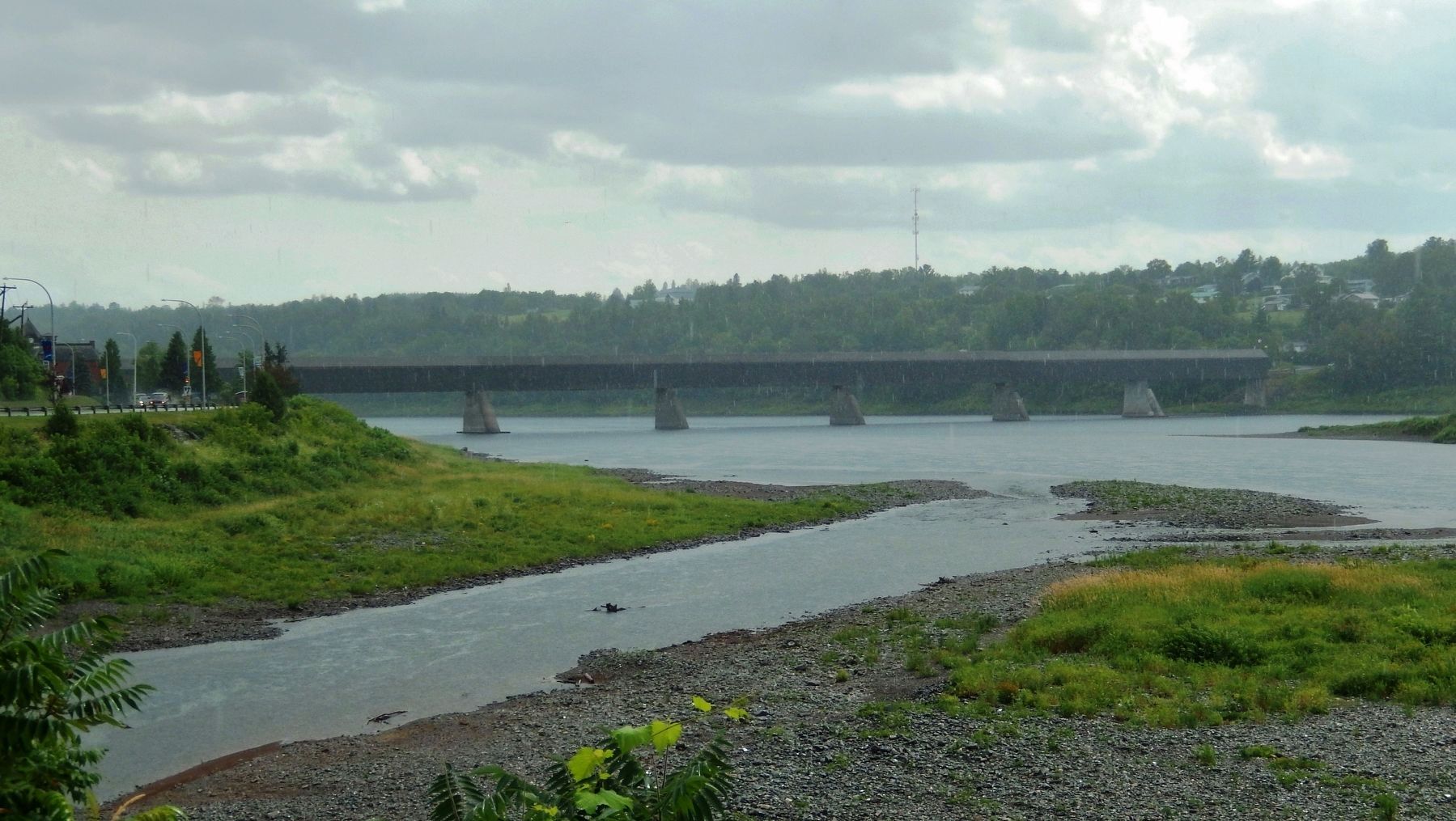
4. Becaguimac Stream • St. John River • Hartland Covered Bridge
(view south from near marker)
(view south from near marker)
Credits. This page was last revised on December 21, 2025. It was originally submitted on September 5, 2019, by Cosmos Mariner of Cape Canaveral, Florida. This page has been viewed 541 times since then and 59 times this year. Photos: 1, 2, 3, 4. submitted on September 8, 2019, by Cosmos Mariner of Cape Canaveral, Florida.
