Near Rockett in Ellis County, Texas — The American South (West South Central)
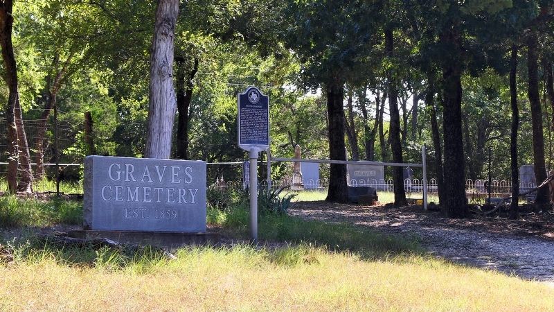
Graves Cemetery
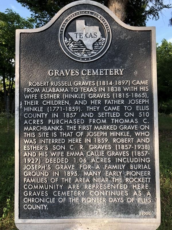
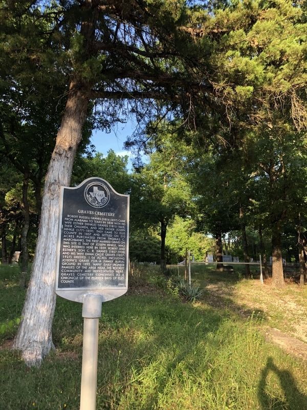
Robert Russell Graves (1814-1897) came from Alabama to Texas in 1838 with his wife Esther (Hinkle) Graves (1815-1865), their children, and her father Joseph Hinkle (1771-1859). They came to Ellis County in 1857 and settled on 510 acres purchased from Thomas C. Marchbanks. The first marked grave on this site is that of Joseph Hinkle, who was interred here in 1859. Robert and Esther's son C.R. Graves (1857-1938) and his wife Emma Callie Graves (1857-1927) deeded 1.06 acres including Joseph's grave for a family burial ground in 1895. Many early pioneer families of the area near the Rockett community are represented here. Graves Cemetery continues as a chronicle of the pioneer days of Ellis County.
Erected 2000 by Texas Historical Commission. (Marker Number 11861.)
Topics. This historical marker is listed in these topic lists: Cemeteries & Burial Sites • Settlements & Settlers. A significant historical year for this entry is 1859.
Location. 32° 28.373′ N, 96° 45.896′ W. Marker is near Rockett, Texas, in Ellis County. Marker is on Bells Chapel Road, 0.2 miles north of Farm to Market Road 813, on the right when traveling north. Touch for map. Marker is at or near this postal address: 2800 Bells Chapel Rd, Waxahachie TX 75165, United States of America. Touch for directions.
Other nearby markers. At least 8 other markers are within 7 miles of this marker , measured as the crow flies. Bell's Chapel Cemetery (approx. 1.2 miles away); Rutherford's Crossing Bridge (approx. 2.2 miles away); Smith Cemetery (approx. 2.6 miles away); Red Oak Cemetery (approx. 3.3 miles away); Parsons' Cavalry (approx. 3.6 miles away); Ellis County (approx. 3.6 miles away); First Baptist Church Of Waxahachie (approx. 5.7 miles away); Harkey-Payne House (approx. 6.2 miles away).
Credits. This page was last revised on May 19, 2020. It was originally submitted on September 1, 2019, by Julia Bell of Palmer, Texas. This page has been viewed 254 times since then and 18 times this year. Last updated on September 7, 2019, by Larry D. Moore of Del Valle, Texas. Photos: 1. submitted on May 19, 2020, by J Frye of Fort Worth, Texas. 2. submitted on September 1, 2019, by Julia Bell of Palmer, Texas. 3. submitted on September 7, 2019, by Larry D. Moore of Del Valle, Texas. 4. submitted on May 19, 2020, by J Frye of Fort Worth, Texas. • Bernard Fisher was the editor who published this page.


