1918 Crash Site
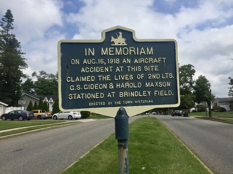
In Memoriam
On Aug.16, 1918 an aircraft
accident at this site
claimed the lives of 2nd Lts.
C.S. Gideon & Harold Maxson
stationed at Brindley Field.
Erected by the Town Historian
Erected by Commack Town Historian.
Topics. This historical marker is listed in this topic list: Air & Space. A significant historical date for this entry is August 16, 1918.
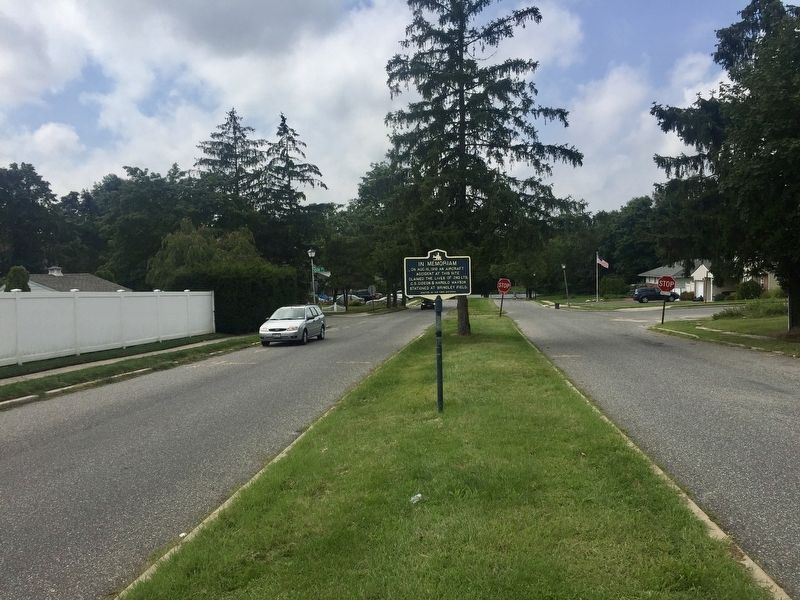
Location. 40° 51.094′ N, 73° 17.335′ W. Marker is in Commack, New York, in Suffolk County. It is at the intersection of Havemeyer Lane and Ott Place, on the left when traveling east on Havemeyer Lane. Touch for map. Marker is at or near this postal address: 14 Havemeyer Lane, Commack NY 11725, United States of America. Touch for directions.
Regionally, this marker is in the New York City Metropolitan Area and on Long Island. It is also in the American Northeast, in the Mid-Atlantic, and on the Eastern Seaboard. Globally, it is in the North Atlantic Region, North America, the Western Hemisphere, the Western World, and the Anglosphere. Historically, it finds itself in what was once New Netherland and also one of the original Thirteen Colonies.
Other nearby markers. At
this page online
Credits. This page was last revised on September 7, 2019. It was originally submitted on September 7, 2019, by Andrew Ruppenstein of Lamorinda, California. This page has been viewed 1,792 times since then and 107 times this year. Photos: 1, 2. submitted on September 7, 2019, by Andrew Ruppenstein of Lamorinda, California.
