Creola in Vinton County, Ohio — The American Midwest (Great Lakes)
Creola
A Desperate Horse Race
— John Hunt Morgan Heritage Trail —
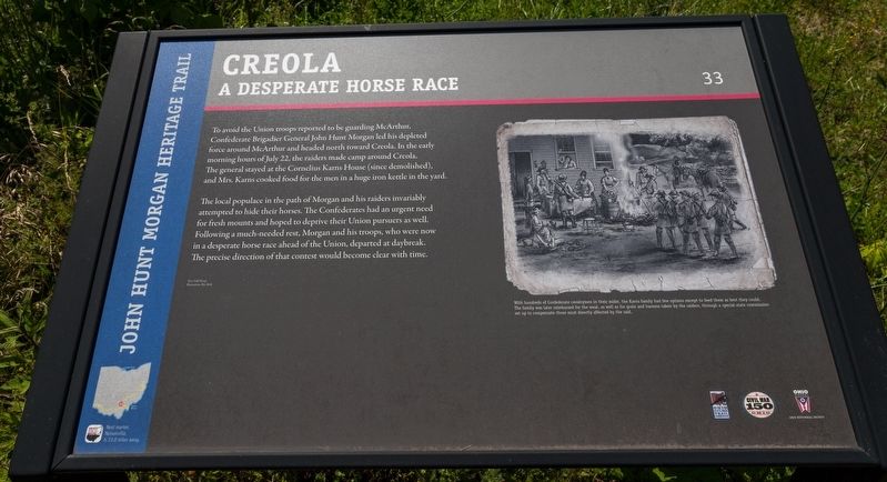
The local populace in the path of Morgan and his raiders invariably attempted to hide their horses. The Confederates had an urgent need for fresh mounts and hoped to deprive their Union pursuers as well. Following a much-needed rest, Morgan and his troops, who were now in a desperate horse race ahead of the Union, departed at daybreak. The precise direction of that contest would become clear with time. (Marker Number 33.)
Topics and series. This historical marker is listed in this topic list: War, US Civil. In addition, it is included in the John Hunt Morgan Heritage Trail in Ohio series list. A significant day of the year for for this entry is July 22.
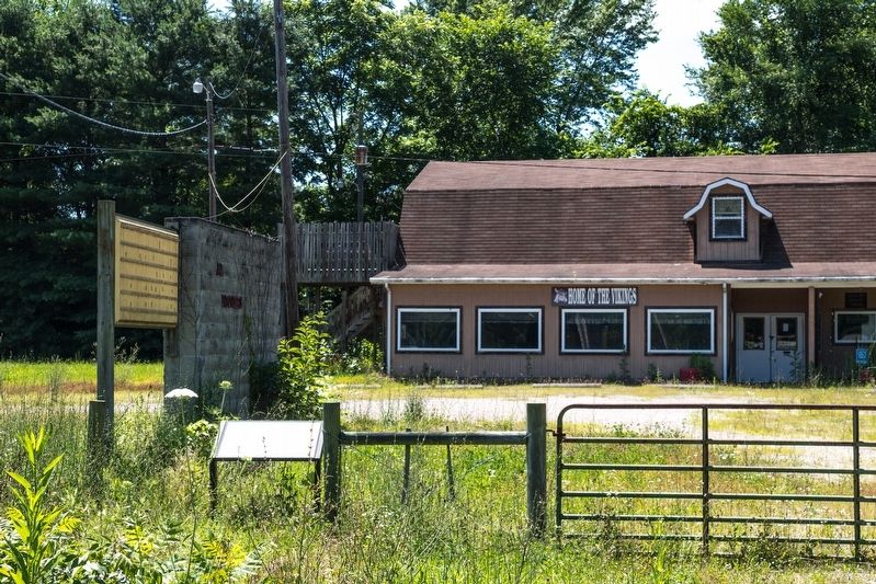
Location. 39° 18.913′ N, 82° 27.877′ W. Marker is in Creola, Ohio, in Vinton County. Marker is on Ohio Route 93 just north of Dunkle Creek Road (County Route 34), on the left when traveling north. Touch for map. Marker is at or near this postal address: 28225 State Route 93, Creola OH 45622, United States of America. Touch for directions.
Other nearby markers. At least 8 other markers are within 5 miles of this marker, measured as the crow flies. Lockheed T33 Shooting Star (approx. 1.6 miles away); The Cox Covered Bridge (approx. 3˝ miles away); Forest Of Honor (approx. 4.2 miles away); Vinton County Civil War Memorial (approx. 4.8 miles away); Mc Arthur Well (approx. 4.8 miles away); Vinton County Veterans Memorial (approx. 4.8 miles away); a different marker also named Vinton County Veterans Memorial (approx. 4.8 miles away); Maude C. Collins (approx. 4.8 miles away).
More about this marker. The interpretive panel has an illustration captioned, “with hundreds of Confederate cavalrymen in their midst, the Karns family had few options except to feed them as best they could. The family was later reimbursed for the meal, as well as for grain and harness taken by the raiders, through a special state commission set up to compensate those most directly affected by the raid.”
Credits. This page was last revised on September 7, 2019. It was originally submitted on September 7, 2019, by J. J. Prats of Powell, Ohio. This page has been viewed 421 times since then and 47 times this year. Photos: 1, 2. submitted on September 7, 2019, by J. J. Prats of Powell, Ohio.

