Leesburg in Camp County, Texas — The American South (West South Central)
Leesburg Cemetery
Photographed by Mark Hilton, September 1, 2019
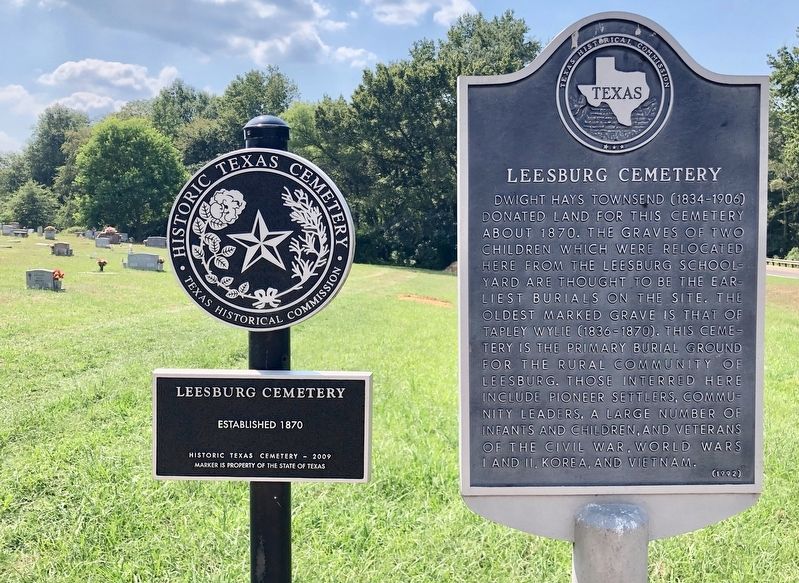
1. Leesburg Cemetery Marker and Historical Texas Cemetery (HTC) marker.
This marker along with HTC marker # 17081, on left, erected in 2012.
Erected 1992 by Texas Historical Commission. (Marker Number 9799.)
Topics. This historical marker is listed in this topic list: Cemeteries & Burial Sites. A significant historical year for this entry is 1870.
Location. 32° 59.294′ N, 95° 5.366′ W. Marker is in Leesburg, Texas, in Camp County. It is on Farm to Market Road 1519 0.1 miles west of State Route 515, on the left when traveling west. Touch for map. Marker is in this post office area: Leesburg TX 75451, United States of America. Touch for directions.

Regionally, this marker is in the American South, specifically in the Deep South, and in
this page online
Other nearby markers. At least 8 other markers are within 7 miles of this marker, measured as the crow flies: Carroll Hall Shelby (about 300 feet away, measured in a direct line); Ferndale Club (approx. 2.6 miles away); Cherokee Trace (approx. 2.9 miles away); Reeves Chapel (approx. 4.4 miles away); New Mine Cemetery (approx. 4.8 miles away); New Mine Baptist Church (approx. 4.8 miles away); Matinburg Cemetery (approx. 6.4 miles away); Saint Beulah Christian Methodist Episcopal Church (approx. 6.8 miles away).
Photographed by Mark Hilton, September 1, 2019
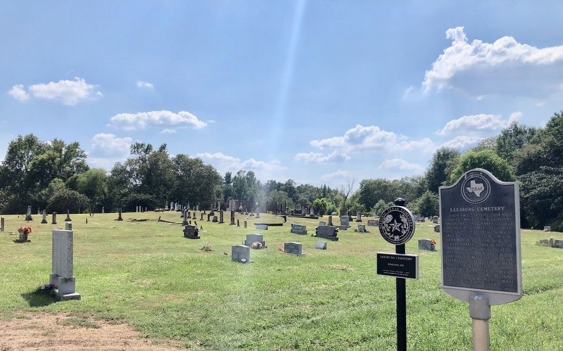
2. Leesburg Cemetery marker and HTC marker.
Photographed by Mark Hilton, September 1, 2019
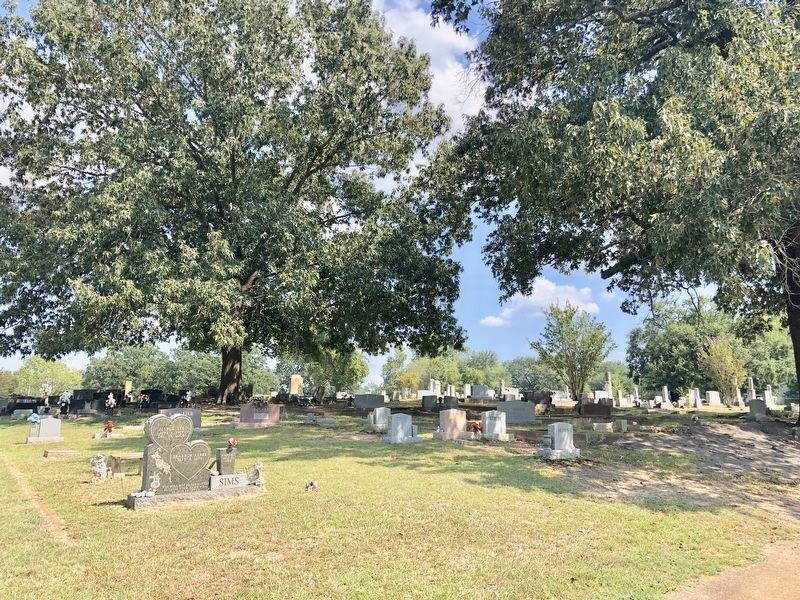
3. View of other graves in the cemetery looking easterly.
Credits. This page was last revised on September 7, 2019. It was originally submitted on September 7, 2019, by Mark Hilton of Montgomery, Alabama. This page has been viewed 1,361 times since then and 108 times this year. Photos: 1, 2, 3. submitted on September 7, 2019, by Mark Hilton of Montgomery, Alabama.
