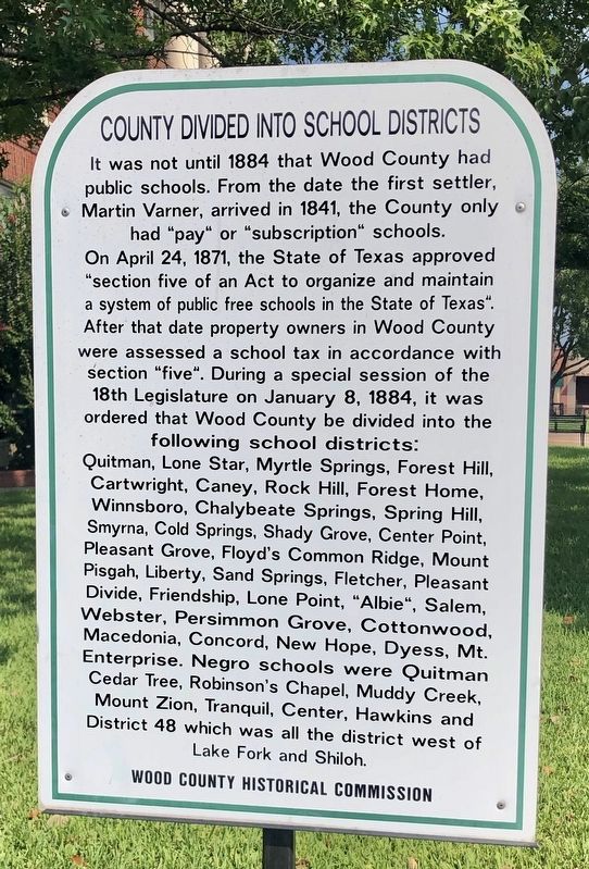
County Divided into School Districts
On April 24, 1871, the State of Texas approved "section five of an Act to organize and maintain a system of public free schools in the State of Texas". After that date property owners in Wood County were assessed a school tax in accordance with section "five". During a special session of the 18th Legislature on January 8, 1884, it was ordered that Wood County be divided into the following school districts.
Quitman, Lone Star, Myrtle Springs, Forest Hill, Cartwright, Caney, Rock Hill, Forest Home, Winnsboro, Chalybeate Springs, Spring Hill, Smyrna, Cold Springs, Shady Grove, Center Point, Pleasant Grove, Floyd's Common Ridge, Mount Pisgah, Liberty, Sand Springs, Fletcher, Pleasant Divide, Friendship, Lone Point, "Albie", Salem, Webster, Persimmon Grove, Cottonwood, Macedonia, Concord, New Hope, Dyess, Mt. Enterprise. Negro schools were Quitman Cedar Tree, Robinson's Chapel, Muddy Creek, Mount Zion, Tranquil, Center, Hawkins and District 48 which was all the district west of Lake Fork and Shiloh.
Erected by Wood County Historical Commission.
Topics. This historical marker is listed in these topic lists: Education
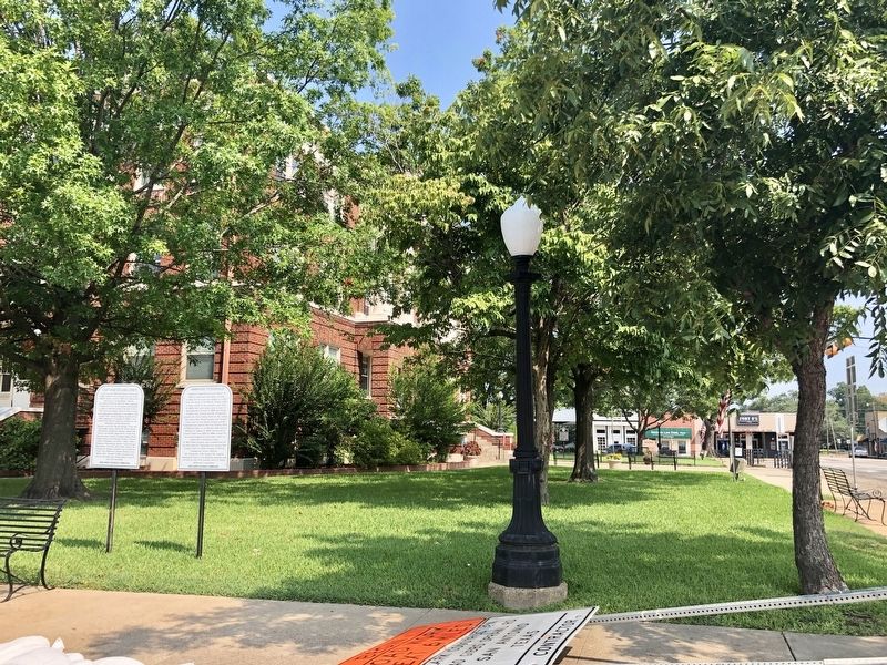
Location. 32° 47.731′ N, 95° 27.119′ W. Marker is in Quitman, Texas, in Wood County. Marker is at the intersection of West Bermuda Street (Texas Route 154) and South Main Street (Texas Route 37), on the right when traveling west on West Bermuda Street. Located at the SE corner of the Wood County Courthouse Lawn. Touch for map. Marker is at or near this postal address: 100 South Main Street, Quitman TX 75783, United States of America. Touch for directions.
Other nearby markers. At least 8 other markers are within walking distance of this marker. Ambrose Fitzgerald (here, next to this marker); James Stephen Hogg (a few steps from this marker); Wood County Courthouse (within shouting distance of this marker); The Cathey Buildings (about 300 feet away, measured in a direct line); First Baptist Church of Quitman (approx. ¼ mile away); J. H. Jones and the Old Settlers Reunion Grounds (approx. 0.3 miles away); James Stephen Hogg's Early Home (approx. 0.3 miles away); James A. Stinson Home (approx. 0.4 miles away). Touch for a list and map of all markers in Quitman.
Credits. This page was last revised on September 13, 2019. It was originally submitted on September 13, 2019, by Mark Hilton of Montgomery, Alabama. This page has been viewed 184 times since then and 21 times this year. Photos: 1, 2. submitted on September 13, 2019, by Mark Hilton of Montgomery, Alabama.

