Drilling Completed, 1940
The World's Richest Acre - Kilgore, Texas
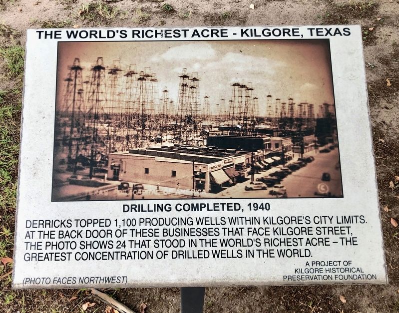
(Photo faces northwest)
Erected by Kilgore Historical Preservation Foundation.
Topics. This historical marker is listed in these topic lists: Exploration • Natural Resources • Notable Places.
Location. 32° 23.22′ N, 94° 52.556′ W. Marker is in Kilgore, Texas, in Gregg County. It is on North Commerce Street north of East Main Street, on the right when traveling north. Touch for map. Marker is at or near this postal address: North Commerce Street, Kilgore TX 75662, United States of America. Touch for directions.
Regionally, this marker is in the American South, specifically in the Deep South, and in the Piney Woods. Globally, it is in North America, a Gulf of Mexico state, the Western Hemisphere, the Western World, and the Anglosphere. Historically, it finds itself in what was once New Spain,
this page online
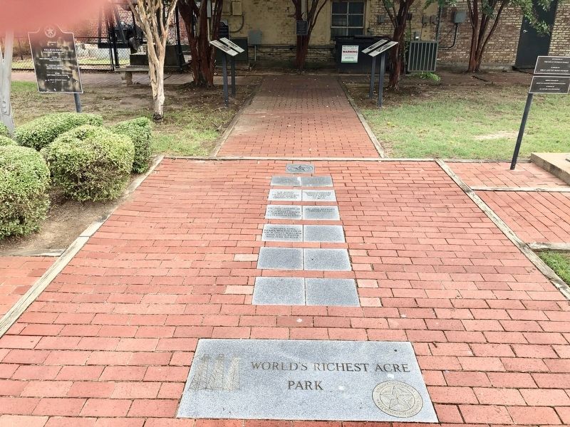
Other nearby markers. At least 8 other markers are within walking distance of this marker: Removal (here, next to this marker); Before 1937 Drilling Began (here, next to this marker); During Drilling (here, next to this marker); World's Richest Acre (within shouting distance of this marker); The Kilgore I&GN-Missouri Pacific Railroad Station (within shouting distance of this marker); Kilgore National Bank Building (about 500 feet away, measured in a direct line); Lou Della Crim Home (about 600 feet away); Site of Alexander Institute (approx. 0.2 miles away). Touch for a list and map of all markers in Kilgore.
Also see . . . Photos of oil derricks in Kilgore's past. (Submitted on September 15, 2019, by Mark Hilton of Montgomery, Alabama.)
Credits. This page was last revised on September 16, 2019. It was originally submitted on September 15, 2019, by Mark Hilton of Montgomery, Alabama. This page has been viewed 349 times since then and 20 times this year. Photos: 1, 2, 3. submitted on September 15, 2019, by Mark Hilton of Montgomery, Alabama.
