Macroom in County Cork, Munster, Ireland — Irish South-West ((Éire) North Atlantic Ocean)
~ The Family ~
Spirit of Macroom
Photographed by William Fischer, Jr., May 18, 2019
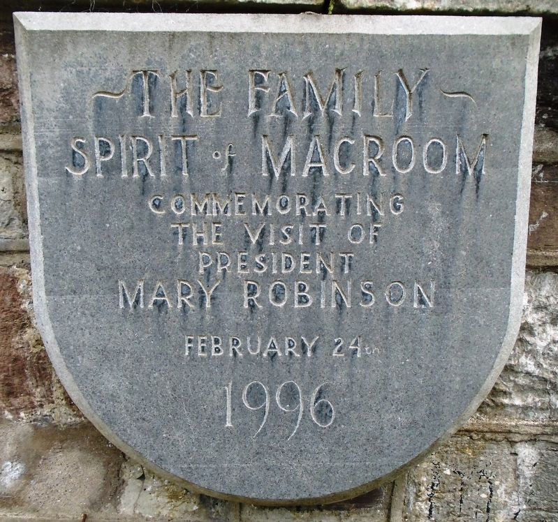
1. ~ The Family ~ Marker

the visit of
President
Mary Robinson
February 24th
1996
——————————
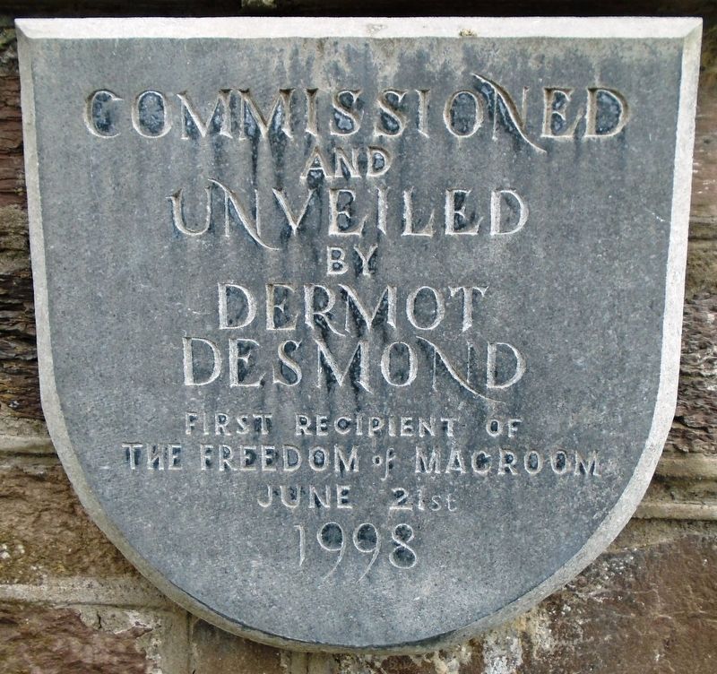
Commissioned
and
Unveiled
by
Dermot Desmond
First recipient of
The Freedom of Macroom
June 21st
1998
Topics. This historical marker is listed in this topic list: Arts, Letters, Music. A significant historical date for this entry is February 24, 1996.
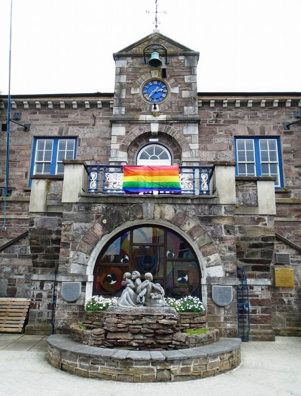
Location. 51° 54.284′ N, 8° 57.594′ W. Marker is in Macroom, Munster, in County Cork. It is on West Square just south of Castle Street (National Route N22), on the left when traveling south. Markers and sculpture are at the west side of the Town Hall. Touch for map. Marker is in this post office area: Macroom, Munster P12 YX48, Ireland. Touch for directions.

Regionally, it is on the Atlantic Ocean, in the North Atlantic Region, on the Atlantic Arc, in Europe, on the Island of Ireland, on the Celtic Fringe, in the European Union, in Atlantic Europe, on one of the British Isles, in the Western World, and in the Anglosphere.
Other nearby markers. At least 7 other markers are within 19 kilometers of this marker, measured as the crow flies: 300th Anniversary of the Granting of Market Rights to Macroom Town
this page online
Also see . . . Desmond made a freeman (The Irish Times, 1998). (Submitted on September 16, 2019, by William Fischer, Jr. of Reynoldsburg, Ohio.)
Photographed by William Fischer, Jr., May 18, 2019
2. ~ The Family ~ Unveiling Marker
Photographed by William Fischer, Jr., May 18, 2019
3. ~ The Family ~ Sculpture and Markers
Photographed by William Fischer, Jr., May 18, 2019
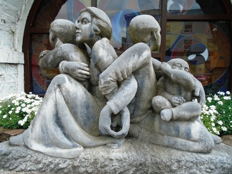
4. ~ The Family ~ Sculpture
Credits. This page was last revised on October 13, 2024. It was originally submitted on September 16, 2019, by William Fischer, Jr. of Reynoldsburg, Ohio. This page has been viewed 413 times since then and 39 times this year. Photos: 1, 2, 3, 4. submitted on September 16, 2019, by William Fischer, Jr. of Reynoldsburg, Ohio.
