Near Hebron in Licking County, Ohio — The American Midwest (Great Lakes)
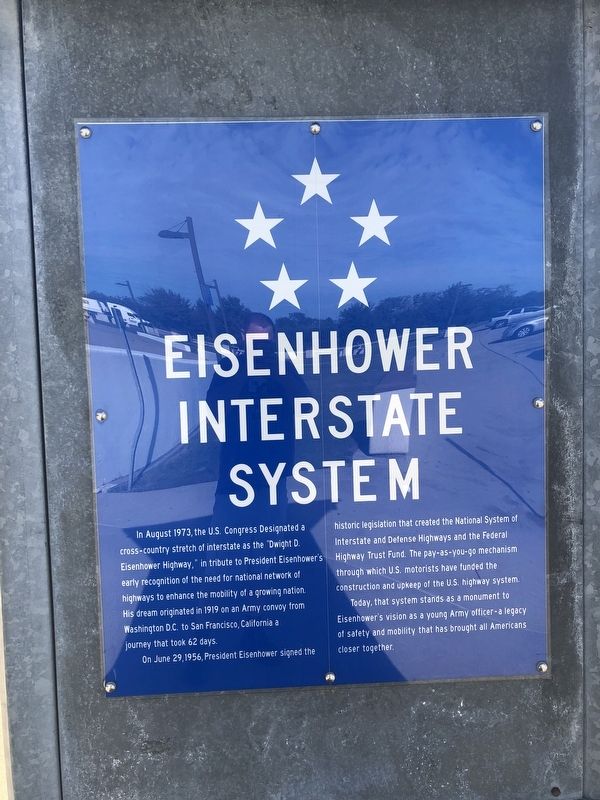
Eisenhower Interstate System
In August 1973, the U.S. Congress Designated a cross-country stretch of interstate as the "Dwight D. Eisenhower Highway," in tribute to President Eisenhower's early recognition of the need for national network of highways to enhance the mobility of a growing nation. His dream originated in 1919 on an Army convoy from Washington, D.C. to San Francisco, California a journey that took 62 days.
On June 29, 1956, President Eisenhower signed the historic legislation that created the National System of Interstate and Defense Highways and the Federal Highway Trust Fund. The pay-as-you-go mechanism through which U.S. motorists have funded the construction and upkeep of the U.S. highway system.
Today, that system stands as a monument to Eisenhower's vision as a young Army officer — a legacy of safety and mobility that has brought all Americans closer together.
Topics and series. This historical marker is listed in these topic lists: Government & Politics • Military • Roads & Vehicles. In addition, it is included in the Former U.S. Presidents: #34 Dwight D. Eisenhower series list. A significant historical date for this entry is June 29, 1956.
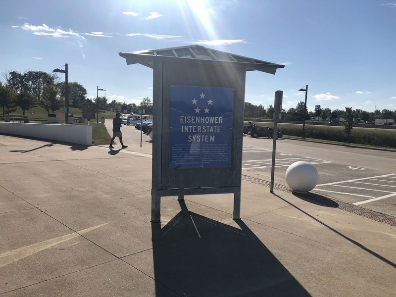
Location. 39° 56.857′ N, 82° 27.177′ W. Marker is near Hebron, Ohio, in Licking County. Marker can be reached from Dwight D. Eisenhower Highway (Interstate 70) 3.9 miles west of Cristland Hill Road (Ohio Route 596), on the right when traveling west. On the grounds of Rest Area 5-18. Touch for map. Marker is at or near this postal address: 4480 Cristland Hill Road, Hebron OH 43025, United States of America. Touch for directions.
Other nearby markers. At least 8 other markers are within 3 miles of this marker, measured as the crow flies. A different marker also named Eisenhower Interstate System (about 600 feet away, measured in a direct line); Hebron Veterans Memorial (approx. 1.7 miles away); Buckeye Lake Park (approx. 1.7 miles away); Buckeye Lake Dam (approx. 1.8 miles away); Hebron Mill (approx. 2.1 miles away); Hebron Milling Company (approx. 2.1 miles away); Hebron (approx. 2.2 miles away); Buckeye Lake (approx. 2.4 miles away). Touch for a list and map of all markers in Hebron.
Credits. This page was last revised on February 7, 2021. It was originally submitted on September 16, 2019, by Devry Becker Jones of Washington, District of Columbia. This page has been viewed 255 times since then and 23 times this year. Last updated on February 7, 2021, by Bradley Owen of Morgantown, West Virginia. Photos: 1, 2. submitted on September 16, 2019, by Devry Becker Jones of Washington, District of Columbia.

