South Village in Manhattan in New York County, New York — The American Northeast (Mid-Atlantic)
MacDougal-Sullivan Gardens Historic District
Photographed by Larry Gertner, January 19, 2014
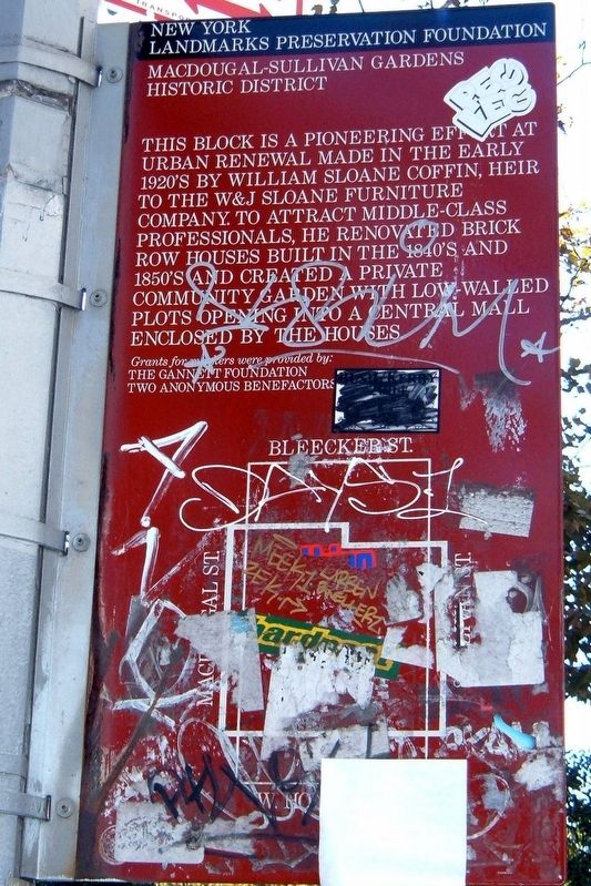
1. MacDougal-Sullivan Gardens Historic District Marker
The most mistreated marker I've encountered. The district is so small, both the text and map fit on the same side.
Grants for this project were provided by:
The Gannett Foundation
Two anonymous benefactors
Erected by New York Landmarks Preservation Foundation.
Topics. This historical marker is listed in this topic list: Architecture.
Location. 40° 43.723′ N, 74° 0.089′ W. Marker has been reported damaged. Marker is in Manhattan, New York, in New York County. It is in South Village. It is on MacDougal Street near Bleeker Street, on the left when traveling south. Touch for map. Marker is in this post office area: New York NY 10012, United States of America. Touch for directions.

Regionally, this marker is in New York City. It is also in the American Northeast, in the Mid-Atlantic, and on the Eastern Seaboard. Globally, it is in the North Atlantic Region, North America, the Western Hemisphere, the Western World, and the Anglosphere. Historically, it finds itself in what was once New Netherland and also one of the original Thirteen Colonies.
Other nearby markers. At least 8 other markers are within walking distance of this location: The Varèse House (within shouting distance of this marker); Site of the San Remo Café (1925 - 1967) (within shouting distance of this marker); William F. Passannante Ballfield (about 300 feet away, measured in a direct line); a different marker also named Playground of the Americas (about 400 feet away); St. Anthony of Padua Church (about 500 feet away); The Church of Saint Alphonsus
this page online
Other markers no longer nearby. Playground of the Americas (was about 400 feet away but has been replaced with another marker now near it); Minetta Triangle (was about 500 feet away but has been permanently removed); Sir Winston Churchill Square (was about 500 feet away but has been permanently removed).
Photographed by Larry Gertner, January 19, 2014
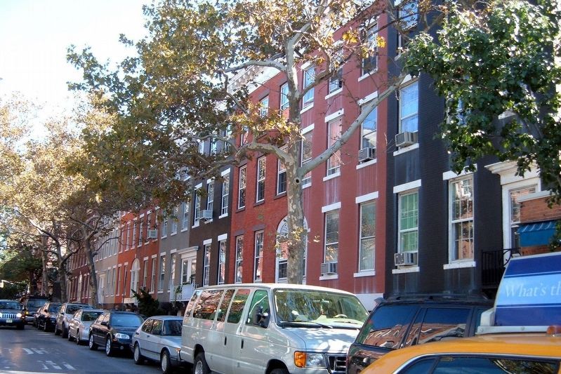
2. MacDougal-Sullivan Gardens Historic District
The MacDougal Street side
Photographed by Larry Gertner, March 25, 2015
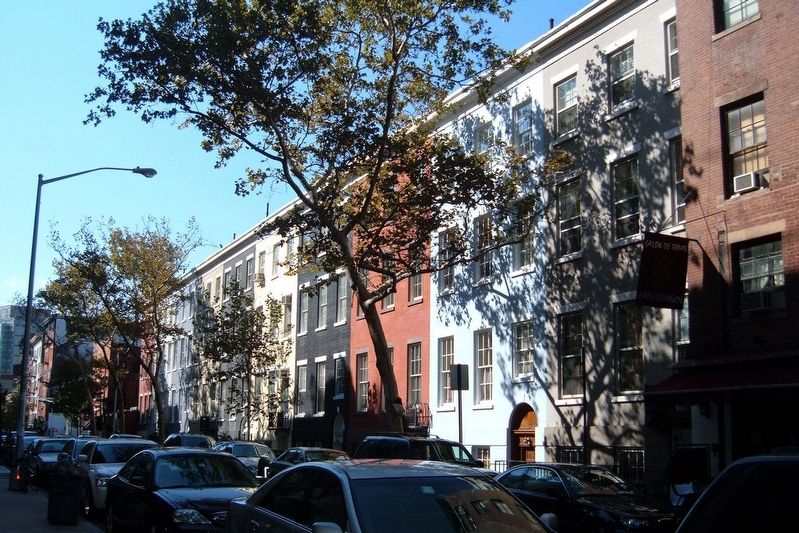
3. MacDougal-Sullivan Gardens Historic District
The Sullivan Street side
Photographed by Google Earth, January 1, 4501
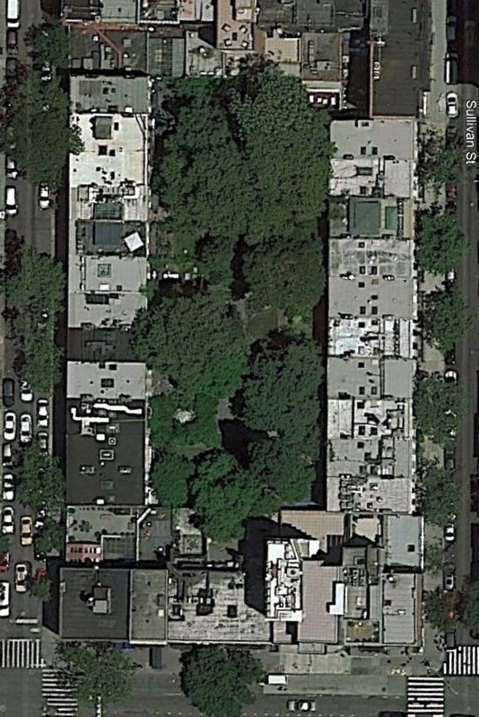
4. MacDougal-Sullivan Gardens Historic District
The buildings and the central mall.
Credits. This page was last revised on January 31, 2023. It was originally submitted on September 17, 2019, by Larry Gertner of New York, New York. This page has been viewed 420 times since then and 38 times this year. Photos: 1, 2, 3, 4. submitted on September 17, 2019, by Larry Gertner of New York, New York. • Bill Pfingsten was the editor who published this page.
