St. Ignace in Mackinac County, Michigan — The American Midwest (Great Lakes)
Civilian Conservation Corps
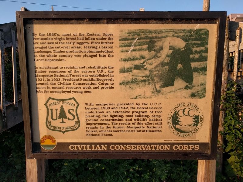
By the 1930's, most of the Eastern Upper Peninsula's virgin forest had fallen under the axe and saw of the early loggers. Fires further ravaged the cut-over areas, leaving a barren landscape. Timber production plummeted just as the whole country was plunged into the Great Depression.
In an attempt to reclaim and rehabilitate the timber resources of the eastern U.P., the Marquette National Forest was established in 1931. In 1933, President Franklin Roosevelt created the Civilian Conservation Corps to assist in natural resource work and provide jobs for unemployed young men.
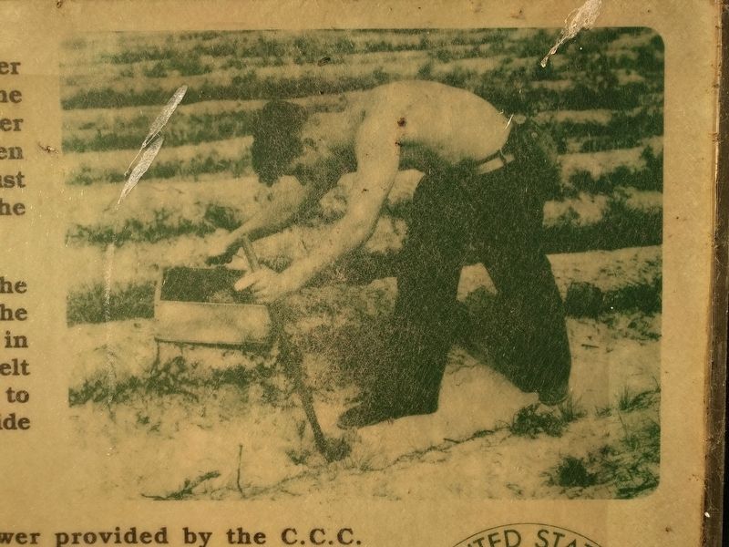
With manpower provided by the C.C.C. between 1933 and 1942, the Forest Service undertook an extensive program of tree planting, fire fighting, road building, campground construction and wildlife habitat improvement. The results of this effort still remain in the former Marquette National Forest, which is now the East Unit of Hiawatha National Forest.
Erected by Forest Service, Department of Agriculture; United States Civilian Conservation Corps.
Topics and series. This historical marker is listed in this topic list: Horticulture & Forestry. In addition, it is included in the Civilian Conservation Corps (CCC) , and the Former U.S. Presidents: #32 Franklin D. Roosevelt series lists. A significant historical year for this entry is 1931.
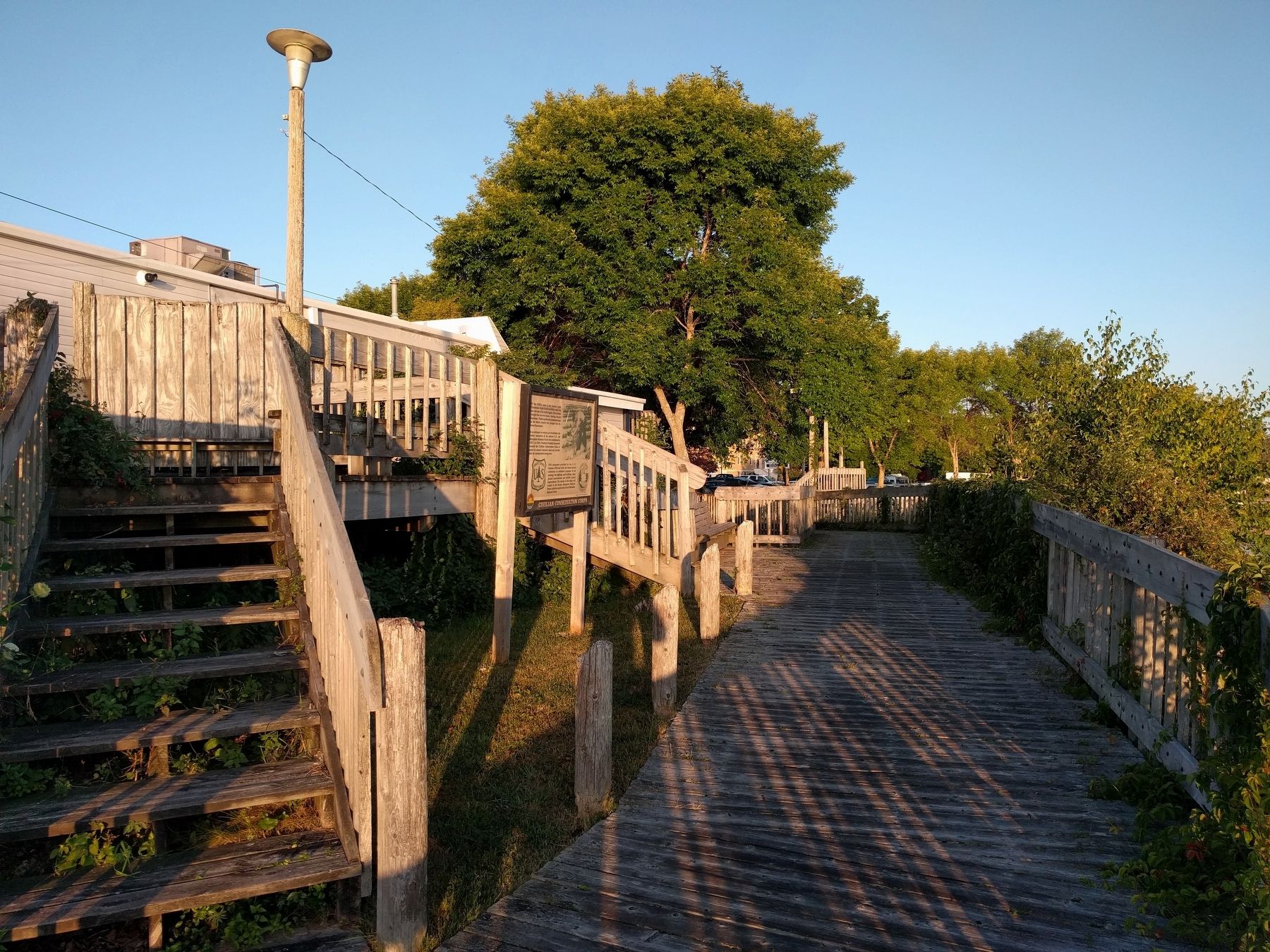
Location. 45° 52.137′ N, 84° 43.589′ W. Marker is in St. Ignace, Michigan, in Mackinac County. Marker can be reached from the intersection of North State Street (Business Interstate 75) and Central Hill, on the right when traveling north. Marker is on the Huron Boardwalk. Touch for map. Marker is at or near this postal address: 277 North State Street, Saint Ignace MI 49781, United States of America. Touch for directions.
Other nearby markers. At least 8 other markers are within walking distance of this marker. Mackinaw Boat (within shouting distance of this marker); a different marker also named Mackinaw Boat (within shouting distance of this marker); Native American Land Losses (about 400 feet away, measured in a direct line); Mooring Facilities (about 500 feet away); Fort de Buade (about 600 feet away); Diving into History (about 700 feet away); Michigan State Ferry (about 800 feet away); St. Ignace (about 800 feet away). Touch for a list and map of all markers in St. Ignace.
Credits. This page was last revised on September 17, 2019. It was originally submitted on September 17, 2019, by Joel Seewald of Madison Heights, Michigan. This page has been viewed 191 times since then and 11 times this year. Photos: 1, 2, 3. submitted on September 17, 2019, by Joel Seewald of Madison Heights, Michigan.


