
Downtown in St. Louis, Missouri — The American Midwest (Upper Plains)
The James B. Eads Bridge
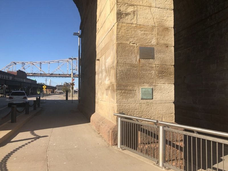
Photographed by Devry Becker Jones (CC0), September 14, 2019
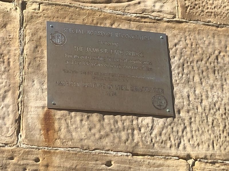
1. American Institute of Steel Construction plaque
Honoring
The James B. Eads Bridge
For its outstanding historical significance and for 100 years of service to the nation
First construction alloy steel bridge and largest bridge of any type when built
Opened to Traffic in 1874
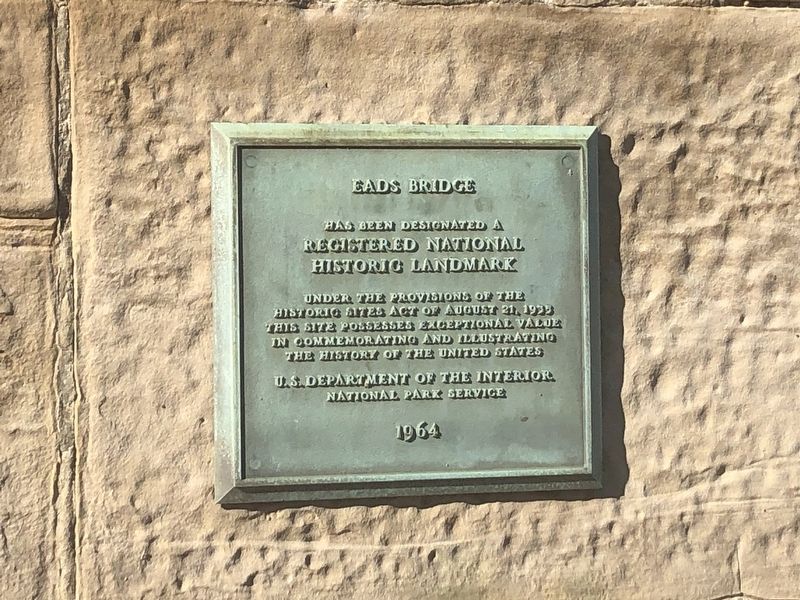
[Lower plaque:]
has been designated a
Registered National
Historic Landmark
under the provisions of the
Historic Sites Act of August 21, 1935
This site possesses exceptional value
in commemorating and illustrating
the history of the United States
U.S. Department of the Interior
National Park Service
1964
Erected 1974 by American Institute of Steel Construction.
Topics and series. This historical marker is listed in this topic list: Bridges & Viaducts. In addition, it is included in the National Historic Landmarks series list. A significant historical date for this entry is August 21, 1935.
Location. 38° 37.753′ N, 90° 10.937′ W. Marker is in St. Louis, Missouri. It is in Downtown. It is on North Leonor K Sullivan Boulevard just south of Lucas Avenue, in the median. Touch for map. Marker is at or near this postal address: 606 North
this page online

Regionally, this marker is in the American Midwest, in the Lewis & Clark Corridor, in the Corn Belt, and in the Great River Road Region. Globally, it is in North America, the Western Hemisphere, the Western World, and the Anglosphere. Historically, it finds itself in what was once the territory of the Mississippian Culture, the Louisiana Purchase, and the Antebellum South.
Other nearby markers. At least 8 other markers are within walking distance of this marker: About This Place / Black Wealth and Influence (about 300 feet away, measured in a direct line); The Eads Bridge (about 300 feet away); In Memory of Katherine Ward Burg (about 300 feet away); Action and Reaction (about 700 feet away); Gateway to the West (about 700 feet away); Rue de l’Eglise (approx. 0.2 miles away); The Captains' Return (approx. 0.2 miles away); Speedy Delivery (approx. 0.2 miles away). Touch for a list and map of all markers in St. Louis.
Other markers no longer nearby. Lewis and Clark and St. Louis Riverfront (was within shouting distance of this marker but
From Builtstlouis.net
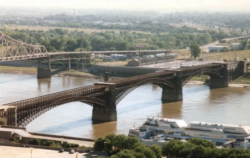
4. The James B. Eads Bridge, 1995
Library of Congress
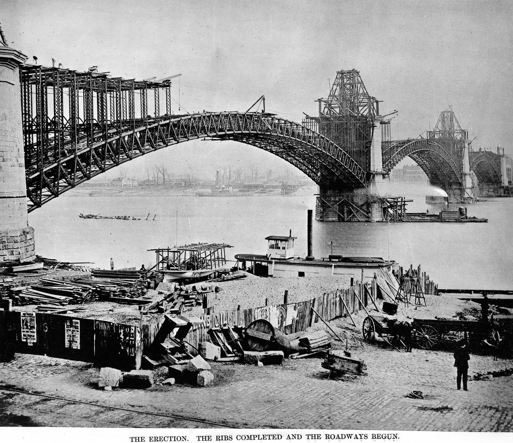
5. The St. Louis Bridge.
The Erection
The Ribs Completed and the Roadways Begun.
The Erection
The Ribs Completed and the Roadways Begun.
From A History of the St. Louis Bridge by C.M. Woodward. St. Louis; G.I. Jones and Company, 1881, Plate XLV.
From Builtstlouis.net, September 18, 2019
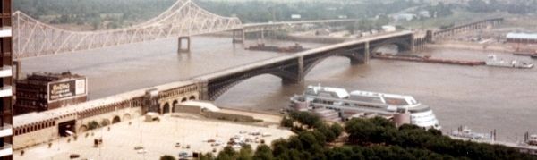
6. The James B. Eads Bridge and approaches, 1993
Library of Congress
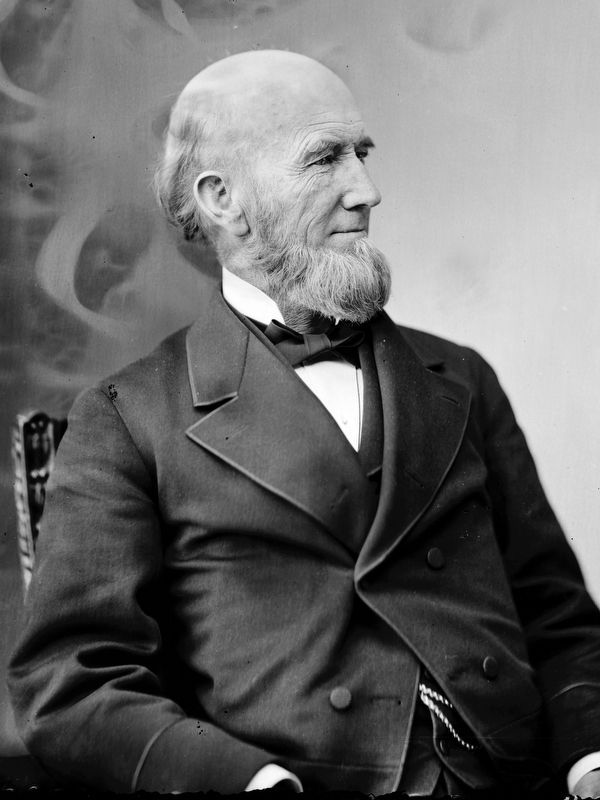
7. James B. Eads
Photo between 1865 and 1880, Brady-Handy photograph collection.
Photographed by Jason Voigt, August 15, 2024
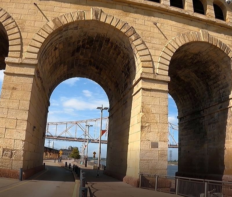
8. The James B. Eads Bridge Marker
The National Historical Landmark plaque is missing
Credits. This page was last revised on August 20, 2024. It was originally submitted on September 17, 2019, by Devry Becker Jones of Washington, District of Columbia. This page has been viewed 688 times since then and 53 times this year. Photos: 1, 2, 3. submitted on September 17, 2019, by Devry Becker Jones of Washington, District of Columbia. 4. submitted on September 18, 2019, by Larry Gertner of New York, New York. 5. submitted on October 17, 2020, by Allen C. Browne of Silver Spring, Maryland. 6. submitted on September 18, 2019, by Larry Gertner of New York, New York. 7. submitted on October 17, 2020, by Allen C. Browne of Silver Spring, Maryland. 8. submitted on August 20, 2024, by Jason Voigt of Glen Carbon, Illinois.
