Saint-Louis-de-Kent in Kent County, New Brunswick — The Atlantic Provinces (North America)
Marcel-François Richard
(1847-1915)
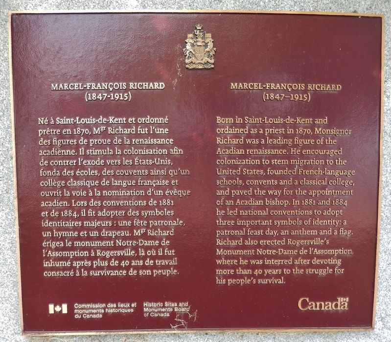
Né à Saint-Louis-de-Kent et ordonné prêtre en 1870, Mgr Richard fut l'une des figures de proue de la renaissance acadienne. Il stimula la colonisation afin de centrer l'exode yeti les États-Unis, fonda des écoles, des couvents ainsi qu’un collège classique de langue française et ouvrit la voie à la nomination d'un évêque acadien. Lors des conventions de 1881 et de 1884, il fit adopter des symboles, identitaires majeurs : une fête patronale, un hymne et un drapeau. Mgr Richard érigea le monument Notre-Dame de l'Assomption à Rogersville, là où il fut inhumé après plus de 40 ans de travail consacré al la survivance de son peuple.
Born in Saint-Louis-de-Kent and ordained as a priest in 1870, Monsignor Richard was a leading figure of the Acadian renaissance. He encouraged colonization to stem migration to the United States, founded French-language schools, convents and a classical college, and paved the way for the appointment of an Acadian bishop. In 1881 and 1884 he led national conventions to adopt three important symbols of identity: a patronal feast day, an anthem and a flag. Richard also erected Rogersville’s Monument Notre-Dame de l'Assomption, where he was interred after devoting more than 40 years to the struggle for his people's survival.
Erected by Historic Sites and Monuments Board of Canada/Commission des lieux et monuments historiques du Canada.
Topics and series. This historical marker is listed in these topic lists: Churches & Religion • Settlements & Settlers. In addition, it is included in the Acadian History, and the Canada, Historic Sites and Monuments Board series lists. A significant historical year for this entry is 1847.
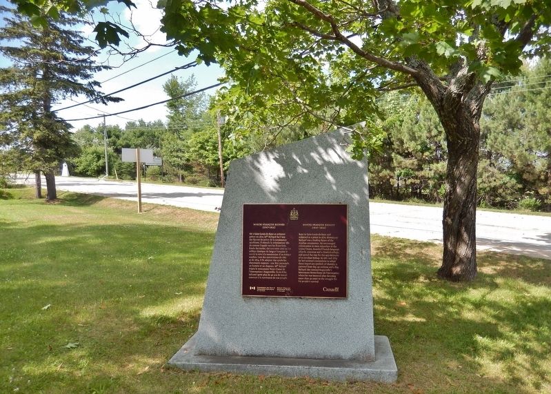
Location. 46° 44.511′ N, 64° 58.855′ W. Marker is in Saint-Louis-de-Kent, New Brunswick, in Kent County. Marker is at the intersection of Rue Principale (Main Street) (New Brunswick Route 134) and Chemin Desherbiers (Desherbiers Road), on the right when traveling south on Rue Principale (Main Street). Touch for map. Marker is in this post office area: Saint-Louis-de-Kent NB E4X, Canada. Touch for directions.
Other nearby markers. At least 8 other markers are within 14 kilometers of this marker, measured as the crow flies. Village Historique de Rexton / Rexton Historic Village (approx. 12.8 kilometers away); Old Kingston Hall (approx. 12.8 kilometers away); MacNarin Family History (approx. 13.2 kilometers away); Hannay's Limited (approx. 13.2 kilometers
away); The Masts / Les Mâts (approx. 13.4 kilometers away); The Historic Village of Rexton (approx. 13.4 kilometers away); Le Village Historique de Rexton (approx. 13.4 kilometers away); Wooden Ships and Iron Men / Navires en Bois et Hommes de Fer (approx. 13.4 kilometers away).
Credits. This page was last revised on September 21, 2019. It was originally submitted on September 18, 2019, by Cosmos Mariner of Cape Canaveral, Florida. This page has been viewed 216 times since then and 14 times this year. Photos: 1, 2. submitted on September 21, 2019, by Cosmos Mariner of Cape Canaveral, Florida.

