Blackville in Miramichi River Valley, New Brunswick — The Atlantic Provinces (North America)
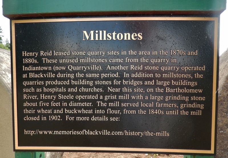
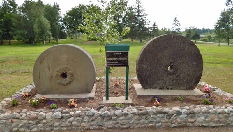
Millstones
Photographed by Cosmos Mariner, July 29, 2019
1. Millstones Marker
http://www.memoriesofblackville.com/history/the-mills
Topics. This historical marker is listed in these topic lists: Industry & Commerce • Settlements & Settlers.
Location. 46° 44.28′ N, 65° 49.71′ W. Marker is in Blackville, New Brunswick, in Miramichi River Valley. It can be reached from Main Street (New Brunswick Route 8) 0.3 kilometers north of Campbell Road ( Route 118), on the right when traveling north. Marker is located near the center
this page online

Regionally, this marker is in the Miramichi Region. It is also in the Maritimes and in Atlantic Canada. Globally, it is in the North Atlantic Region, North America, the Western Hemisphere, the Western World, and the Anglosphere. Historically, it finds itself in what was once a British colony, the Viceroyalty of New France, and Acadia.
Other nearby markers. At least one other marker is within walking distance of this marker: Legend of the Dungarvon Whooper (about 90 meters away, measured in a direct line).
Also see . . . The Mills. Two Scotsman, Doak and Alexander MacLaggan arrived here in Blackville and built a sawmill in 1820. It was located on the north side of the Bartholomew River at the present site of the current bridge. Across from the sawmill somewhat below on the opposite side of the river, was a water driven Grist Mill operated by an old Englishman called Henry Steele. (Submitted on September 21, 2019, by Cosmos Mariner of Cape Canaveral, Florida.)
Photographed by Cosmos Mariner, July 29, 2019
2. Millstones Marker (wide view)
Photographed by Cosmos Mariner, July 29, 2019
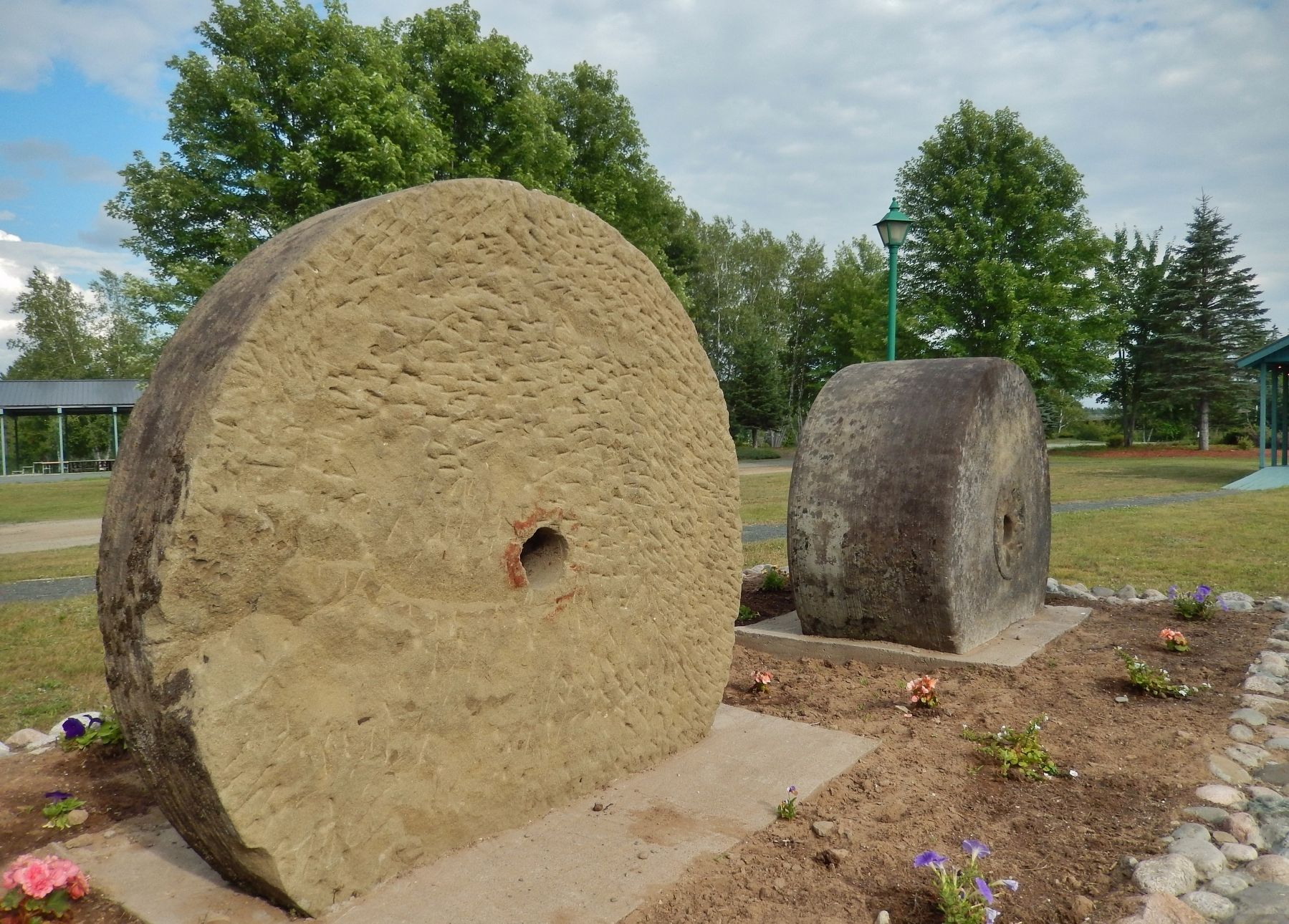
3. Millstones (side view showing scoring and relative width)
Credits. This page was last revised on March 14, 2026. It was originally submitted on September 18, 2019, by Cosmos Mariner of Cape Canaveral, Florida. This page has been viewed 397 times since then and 44 times this year. Photos: 1, 2, 3. submitted on September 21, 2019, by Cosmos Mariner of Cape Canaveral, Florida.
