Near Oconto in Oconto County, Wisconsin — The American Midwest (Great Lakes)
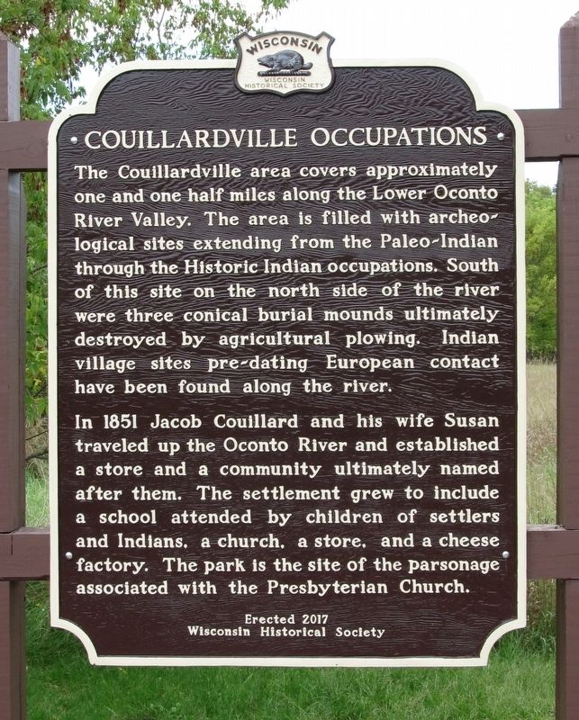
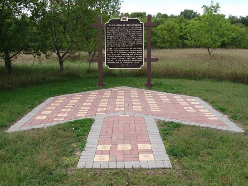
Couillardville Occupations
In 1851 Jacob Couillard and his wife Susan traveled up the Oconto River and established a store and a community ultimately named after them. The settlement grew to include a school attended by children of settlers and Indians, a church, a store, and a cheese factory. The park is the site of the parsonage associated with the Presbyterian Church.
Erected 2017 by Wisconsin Historical Society. (Marker Number 568.)
Topics and series. This historical marker is listed in these topic lists: Native Americans • Settlements & Settlers. In addition, it is included in the Wisconsin Historical Society series list. A significant historical year for this entry is 1851.
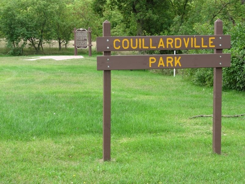
Location. 44° 51.73′ N, 87° 59.086′ W. Marker is near Oconto, Wisconsin, in Oconto County. Marker is at the intersection of County Hwy J (County Highway J) and Funk Road, on the right when traveling south on County Hwy J. Marker is located in Couillardville Park. Touch for map. Marker is at or near this postal address: 5299 County Hwy J, Oconto WI 54153, United States of America. Touch for directions.
Other nearby markers. At least 8 other markers are within 7 miles of this marker, measured as the crow flies. Old Copper Culture Cemetery (approx. 4.6 miles away); Oconto Site (approx. 4.7 miles away); Mission of St. Francois Xavier (approx. 5.3 miles away); First Church of Christ, Scientist (approx. 5.6 miles away); Farnsworth Public Library (approx. 5.8 miles away); Nicholas Perrot (approx. 5.9 miles away); Oconto County Veteran's Memorial (approx. 6.1 miles away); Stanley Toy Company (approx. 6.2 miles away). Touch for a list and map of all markers in Oconto.
Credits. This page was last revised on September 18, 2019. It was originally submitted on September 18, 2019, by Paul Fehrenbach of Germantown, Wisconsin. This page has been viewed 656 times since then and 118 times this year. Photos: 1, 2, 3, 4. submitted on September 18, 2019, by Paul Fehrenbach of Germantown, Wisconsin. • Andrew Ruppenstein was the editor who published this page.


