Rolla in Phelps County, Missouri — The American Midwest (Upper Plains)
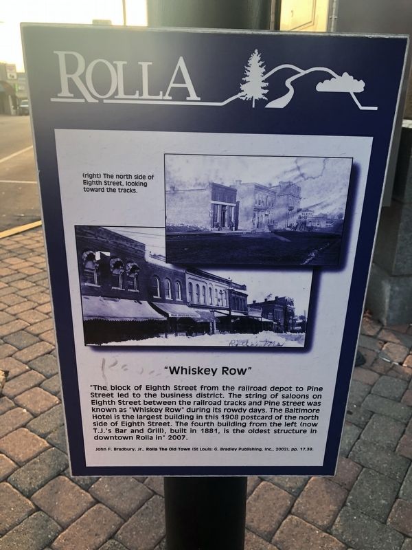
"Whiskey Row"
Rolla
John F. Bradbury, Jr., Rolla The Old Town (St. Louis: C. Bradley Publishing, Inc., 2002), pp. 17, 39.
Topics. This historical marker is listed in this topic list: Industry & Commerce. A significant historical year for this entry is 1908.
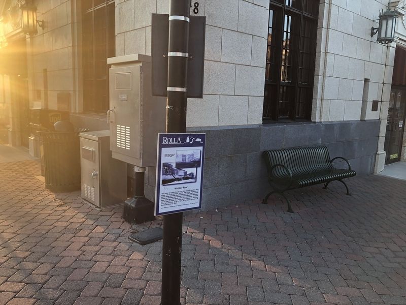
Location. 37° 56.993′ N, 91° 46.287′ W. Marker is in Rolla, Missouri, in Phelps County. Marker is at the intersection of North Pine Street and West 8th Street, on the right when traveling north on North Pine Street. Touch for map. Marker is at or near this postal address: 718 North Pine Street, Rolla MO 65401, United States of America. Touch for directions.
Other nearby markers. At least 8 other markers are within walking distance of this marker. Rollamo Theater (here, next to this marker); Grant Hotel (a few steps from this marker); Hotel Edwin Long (a few steps from this marker); Scott's Drugs (a few steps from this marker); National Bank (within shouting distance of this marker); Pine Street and Downtown Rolla (within shouting distance of this marker); "Black" USO (about 300 feet away, measured in a direct line); Campbell Building (about 300 feet away). Touch for a list and map of all markers in Rolla.
Credits. This page was last revised on September 18, 2019. It was originally submitted on September 18, 2019, by Devry Becker Jones of Washington, District of Columbia. This page has been viewed 236 times since then and 26 times this year. Photos: 1, 2. submitted on September 18, 2019, by Devry Becker Jones of Washington, District of Columbia.

