Rolla in Phelps County, Missouri — The American Midwest (Upper Plains)
The Webber Homestead
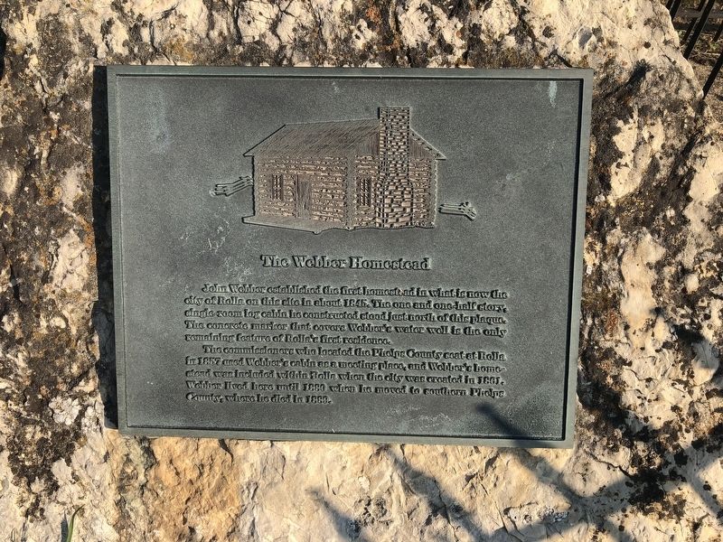
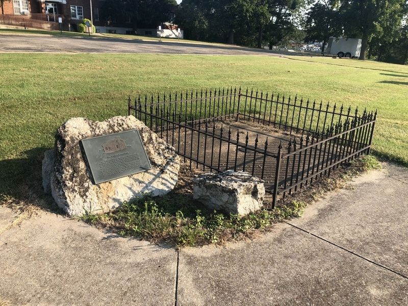
John Webber established the first homestead in what is now in the city of Rolla on this site in about 1845. The one and one-half story, single-room log cabin he constructed stood just north of this plaque. The concrete marker that covers Webber's water well is the only remaining feature of Rolla's first residence.
The commission who located the Phelps County seat at Rolla in 1857 used Webber's cabin as a meeting place, and Webber's homestead was included within Rolla when the city was created in 1861. Webber lived here until 1880 when he moved to southern Phelps County, where he died in 1889.
Topics. This historical marker is listed in these topic lists: Notable Buildings • Notable Places • Settlements & Settlers. A significant historical year for this entry is 1845.
Location. 37° 56.794′ N, 91° 46.752′ W. Marker is in Rolla, Missouri, in Phelps County. It is on Kingshighway (Business Interstate 44) 0.1 miles west of U.S. 63, on the right when traveling west. Touch for map. Marker is at or near this postal address: 1006 Kingshighway, Rolla MO 65401, United States of America. Touch for directions.

Regionally,
this page online
Other nearby markers. At least 8 other markers are within walking distance of this marker: Missouri Trachoma Hospital (within shouting distance of this marker); The Mother Road in Central Missouri (approx. 0.2 miles away); Phelps County Veterans Memorial (approx. 0.3 miles away); Edgar D. Lanning (approx. 0.3 miles away); Veterans Circle (approx. 0.3 miles away); Fort Wyman (approx. 0.3 miles away); Phelps County Courthouse (approx. 0.3 miles away); Central Elementary (approx. 0.3 miles away). Touch for a list and map of all markers in Rolla.
Credits. This page was last revised on March 3, 2021. It was originally submitted on September 18, 2019, by Devry Becker Jones of Washington, District of Columbia. This page has been viewed 908 times since then and 64 times this year. Photos: 1, 2. submitted on September 18, 2019, by Devry Becker Jones of Washington, District of Columbia.
