Owensville in Gasconade County, Missouri — The American Midwest (Upper Plains)
Spools
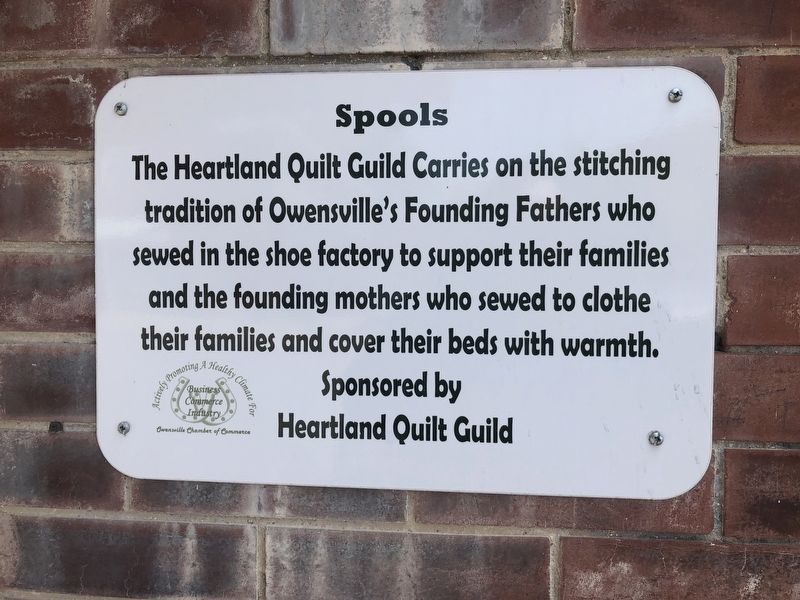
Erected by Owensville Chamber of Commerce.
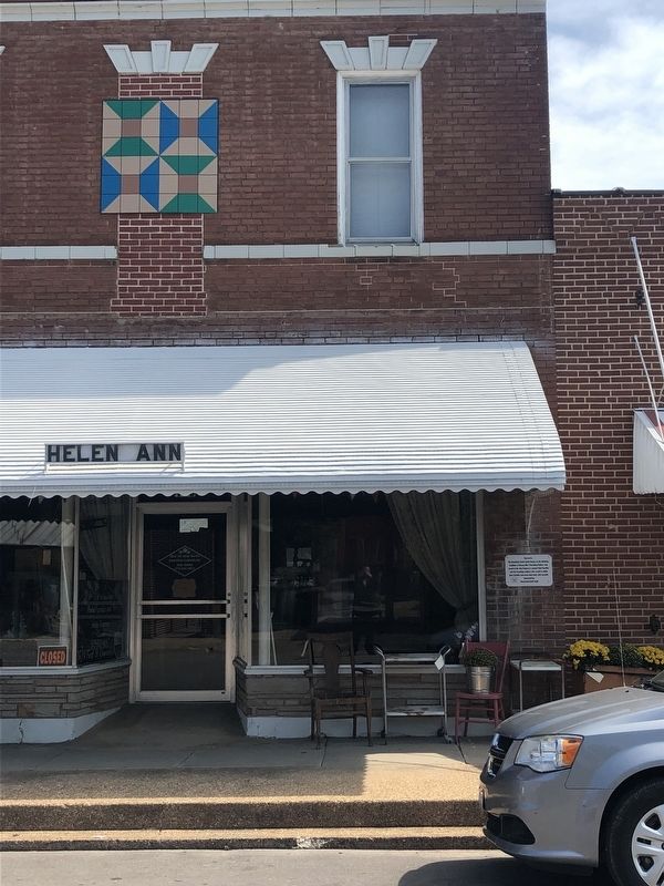
Topics and series. This historical marker is listed in these topic lists: Industry & Commerce • Settlements & Settlers. In addition, it is included in the Missouri, Owensville Quilt Patterns series list.
Location. 38° 20.841′ N, 91° 30.026′ W. Marker is in Owensville, Missouri, in Gasconade County. It is on North 1st Street just north of East Peters Avenue, on the right when traveling north. Touch for map. Marker is at or near this postal address: 106 North 1st Street, Owensville MO 65066, United States of America. Touch for directions.

Regionally, this marker is in the Missouri River Corridor. It is also in the American Ozarks, in the Lewis & Clark Corridor, and in the Corn Belt. Globally, it is in North America, the Western Hemisphere, the Western World, and the Anglosphere.
this page online
Other nearby markers. At least 8 other markers are within walking distance of this marker: Two Old Timers (within shouting distance of this marker); In Loving Memory (within shouting distance of this marker); Mural (within shouting distance of this marker); Four Leaf Clover (within shouting distance of this marker); Farmers & Merchants Bank (within shouting distance of this marker); Double Friendship Star (within shouting distance of this marker); Soldier's Walk (about 300 feet away, measured in a direct line); Arrowheads (about 400 feet away). Touch for a list and map of all markers in Owensville.
Credits. This page was last revised on December 18, 2021. It was originally submitted on September 18, 2019, by Devry Becker Jones of Washington, District of Columbia. This page has been viewed 220 times since then and 19 times this year. Photos: 1, 2. submitted on September 18, 2019, by Devry Becker Jones of Washington, District of Columbia.
