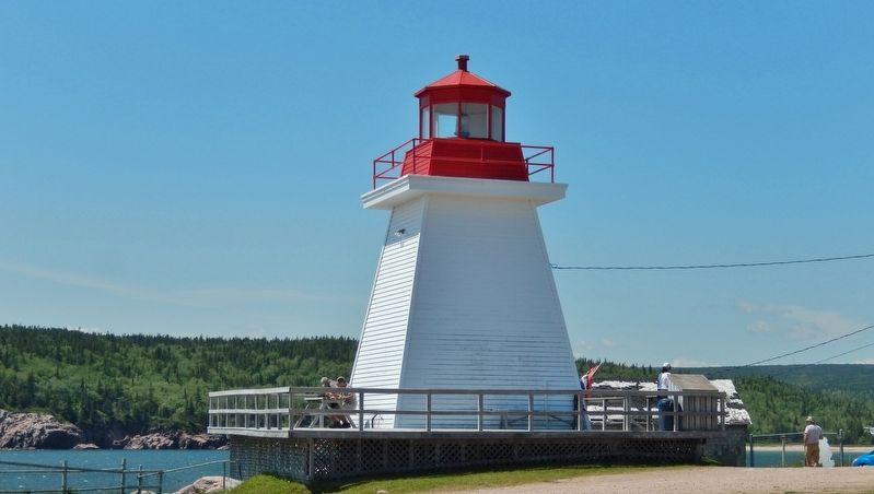
Neil's Harbour in Victoria County, Nova Scotia — The Atlantic Provinces (North America)
Neil's Harbour
The Cabot Trail
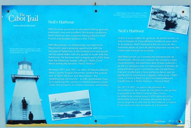
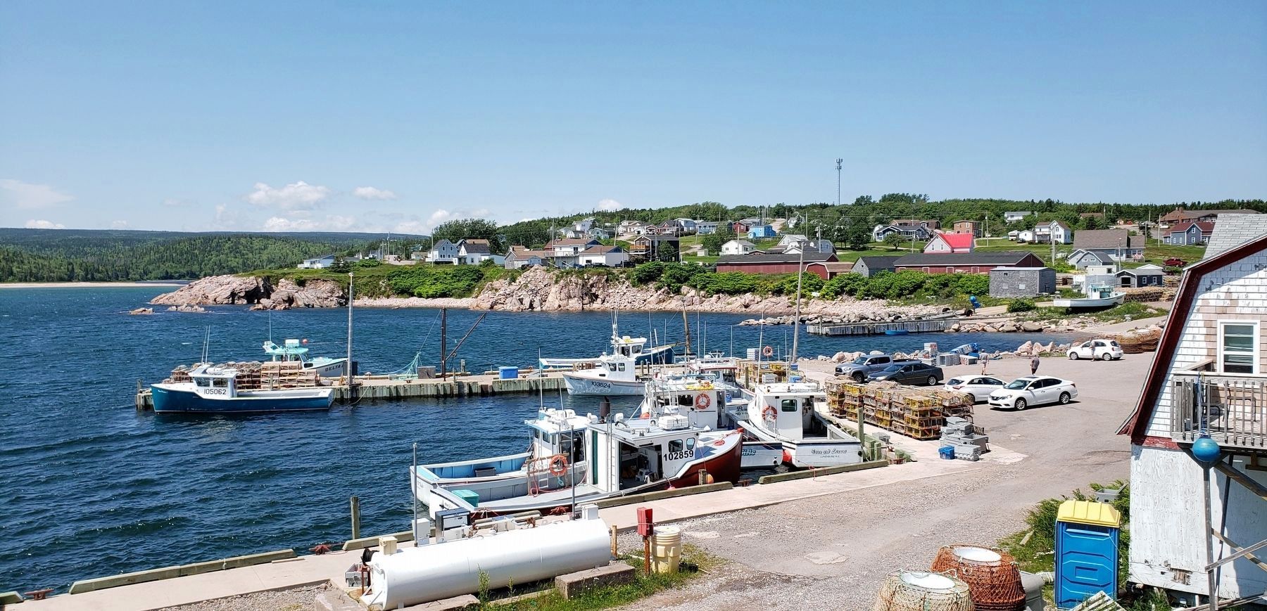
With its close proximity to abundant fishing grounds, sheltered cove and excellent fish-drying conditions, Neil's Harbour was a popular fishing base for both French and Scottish settlers in the 1700's.
Neil MacLennan, an enterprising merchant from Westmont, saw a growing opportunity with the increase of fishermen in the isolated cove and would sail his vessel laden with dry goods to trade with the fisherman. He became such a regular part of life there that the fisherman began calling it "Neil's Cove" which eventually became "Neil's Harbour."
Between 1871 and 1891, an influx of Newfoundland/West Country English fishermen swelled the population of Neil's Harbour and New Haven - the neighbouring community - to 430, attributable mainly to declining fish catches on Newfoundland's south coast, the prospect of a better economy, and kinship.
Grâce à sa proximité de secteurs de pêche fertiles, sa baie protégée et d'excellentes conditions pour sécher le poisson, Neil's Harbour a été au cours du dix-huitième siècle un port de pêche populaire auprès des colons tant français qu'écossais.
Neil MacLennan, un commerçant entreprenant de Westmount, décela une occasion de croissance dans l'augmentation des pêcheurs dans la baie isolée et il se mit à y naviguer avec un navire bourré d'articles de consommation pour commercer avec les pêcheurs. Il en vint à tellement y faire partie du décor que les pêcheurs ont commencé à appeler cette zone « Neil's Cove » (l'anse à Neil), ce qui s'est éventuellement transformé en « Neil's Harbour » (havre à Neil).
De 1871 à 1891, un apport de pêcheurs de Terre-Neuve et de l'ouest de l'Angleterre vint gonfler la population de Neil's Harbour/New Haven (la collectivité voisine) jusqu'à 430 habitants, influx attribuable surtout à la baisse des prises de poisson au large de la côte sud de Terre-Neuve, à l'espoir d'une économie plus prospère et à la parenté.
(photo captions / légendes photo: )
• Painting Neil’s Harbour Lighthouse, ca 1936 (Archives Canada) / Le phare de Neil’s Harbour se fait peinturer, vers 1936
• Neil’s Harbour, ca 1960 (Courtesy Nova Scotia Information Services)
• Neil’s Harbour’s first motor boats, ca 1918 (Courtesy of Ted Carroll) / Les premier bateaux à moteurs de Neil’s Harbour, vers 1918
Erected by Enterprise Cape Breton Corporation and Government of Nova Scotia.
Topics and series. This historical marker
Photographed By Cosmos Mariner, July 22, 2019
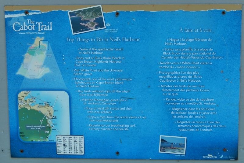
2. Neil's Harbour Information Panel
(mounted in kiosk • left of marker)
(mounted in kiosk • left of marker)
English:
Top Things to Do in Neil's Harbour
• Swim at the spectacular beach at Neil's Harbour
• Body surf at Black Brook Beach in Cape Breton Highlands National Park of Canada
• Visit White Point and the Unknown Sailor's grave
• Photograph one of the most picturesque lighthouses on Cape Breton Island at Neil's Harbour
• Buy fresh seafood right off the wharf from local fishermen
• Visit the Norwegian grave site in St. Andrew's Cemetery
• Shop at local gift stores and chat with local artisans
• Enjoy a meal from the scenic decks of our two local restaurants
• Experience our breathtaking surf, scenery, sunrises and sea life
Français:
À faire et à voir
• Nagez à la plage féérique de Neil's Harbour.
• Surfez sans planche à la plage de Black Brook dans le parc national du Canada des Haute's-Terres-du-Cap-Breton.
• Rendez-vous à White Point visiter la tombe du « marin inconnu ».
• Photographiez l'un des plus magnifiques phares de l'île du Cap-Breton à Neil's Harbour.
• Achetez des fruits de mer frais directement des pêcheurs locaux, sur le quai.
• Rendez visite au site de sépulture norvégien au cimetière St. Andrew.
• Magasinez dans les boutiques de cadeaux locales et jasez avec les artisans de l'endroit.
• Dégustez un repas à l'une des terrasses panoramiques des deux restaurants de l'endroit.
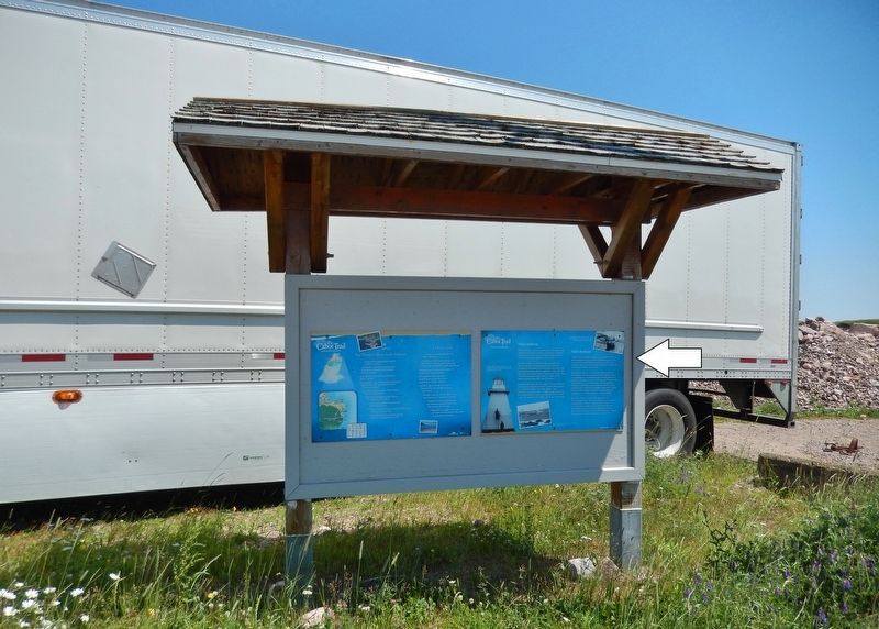
Location. 46° 48.512′ N, 60° 19.226′ W. Marker is in Neil's Harbour, Nova Scotia, in Victoria County. Marker is on Lighthouse Road just east of New Haven Road, on the right when traveling east. Marker is the rightmost of two panels located in a kiosk on the south side of Lighthouse Road, overlooking the fishing wharf. Touch for map. Marker is at or near this postal address: 36 Lighthouse Road, Neil's Harbour NS B0C 1G0, Canada. Touch for directions.
Other nearby markers. At least 2 other markers are within 19 kilometers of this marker, measured as the crow flies. South Harbour War Memorial (approx. 14.8 kilometers away); Ingonish War Memorial (approx. 18 kilometers away).
Credits. This page was last revised on September 20, 2019. It was originally submitted on September 20, 2019, by Cosmos Mariner of Cape Canaveral, Florida. This page has been viewed 312 times since then and 43 times this year. Photos: 1, 2, 3, 4, 5, 6. submitted on September 20, 2019, by Cosmos Mariner of Cape Canaveral, Florida.
