Tuskegee in Macon County, Alabama — The American South (East South Central)
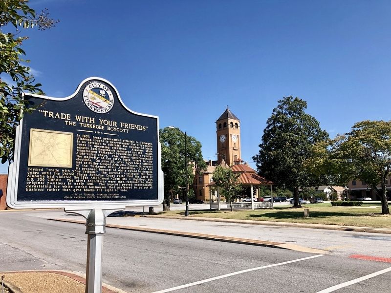
"Trade With Your Friends"
The Tuskegee Boycott
— The Tuskegee Civil Rights and Historic Trail —
Erected 2019 by City Of Tuskegee, Tuskegee University, Jewish American Society for Historic Preservation. (Marker Number 9.)
Topics and series. This historical marker is listed in these topic lists: African Americans • Civil Rights • Government & Politics. In addition, it is included in the African Methodist Episcopal Zion (AME Zion) Church, the Historically Black Colleges and Universities, the Jewish American Society for Historic Preservation., and the Tuskegee Civil Rights and Historic Trail, Alabama series lists. A significant historical date for this entry is June 25, 1957.
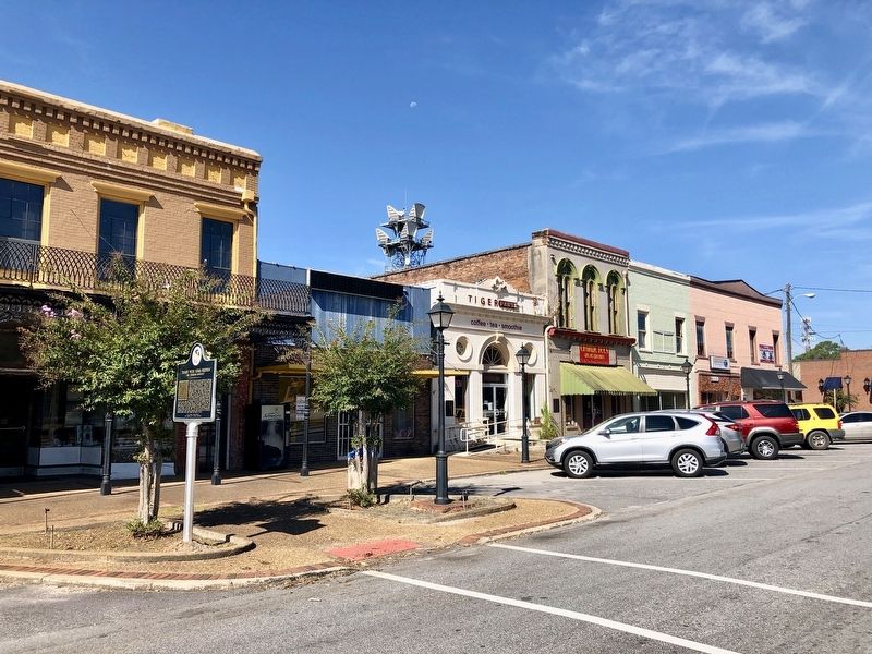
Location. 32° 25.424′ N, 85° 41.477′ W. Marker is in Tuskegee, Alabama, in Macon County. Marker is on Westside Street south of West Northside Street, on the left when traveling south. Touch for map. Marker is at or near this postal address: Westside Street, Tuskegee AL 36083, United States of America. Touch for directions.
Other nearby markers. At least 8 other markers are within walking distance of this marker. 119 Westside Street (a few steps from this marker); Brief History of Tuskegee, Alabama (within shouting distance of this marker); Macon County Confederate Monument (within shouting distance of this marker); Macon County Legal Milestone (about 400 feet away, measured in a direct line); Samuel "Sammy" Leamon Younge, Jr. (about 700 feet away); Site of the Tuskegee Female College
(approx. ¼ mile away); Tuskegee High School (approx. ¼ mile away); Rosa Parks (approx. 0.4 miles away). Touch for a list and map of all markers in Tuskegee.
Also see . . .
1. Wikipedia article on the Gomillion v. Lightfoot Supreme Court Case. (Submitted on September 20, 2019, by Mark Hilton of Montgomery, Alabama.)
2. Macon History article shows the gerrymandering maps. (Submitted on September 20, 2019, by Mark Hilton of Montgomery, Alabama.)

Photographed By Mark Hilton, September 20, 2019
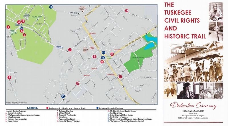
4. Dedication program and associated map of trail.
All thirteen new markers were dedicated on September 20th, 2019 at the Tuskegee Municipal Complex.
Please note #1 on the map, Amelia Boynton Robinson marker is actually on Franklin Road, NNW of Tuskegee University, near Boy Scout Circle.
Credits. This page was last revised on October 3, 2019. It was originally submitted on September 20, 2019, by Mark Hilton of Montgomery, Alabama. This page has been viewed 522 times since then and 42 times this year. Photos: 1, 2, 3, 4. submitted on September 20, 2019, by Mark Hilton of Montgomery, Alabama.


