Independence in Jackson County, Missouri — The American Midwest (Upper Plains)
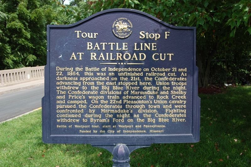
Battle Line at Railroad Cut
During the Battle of Independence on October 21 and 22, 1864, this was an unfinished railroad cut. As darkness approached on the 21st, the Confederates advancing from the east stopped here. Union troops withdrew to the Big Blue River during the night. The Confederate divisions of Marmaduke and Shelby and Price's wagon train advanced to Rock Creek and camped. On the 22nd Pleasonton's Union cavalry pursued the Confederates through town and were confronted by Marmaduke's division. Fighting continued during the night as the Confederates withdrew to Byram's Ford on the Big Blue River.
Battle of Westport tour, start at Westport and Pennsylvania.
Funded by the City of Independence, Missouri
Erected by Howard N. Monnett Memorial Civil War Round Table - K.C. (Marker Number Stop F.)
Topics. This historical marker is listed in this topic list: War, US Civil. A significant historical date for this entry is October 21, 1864.
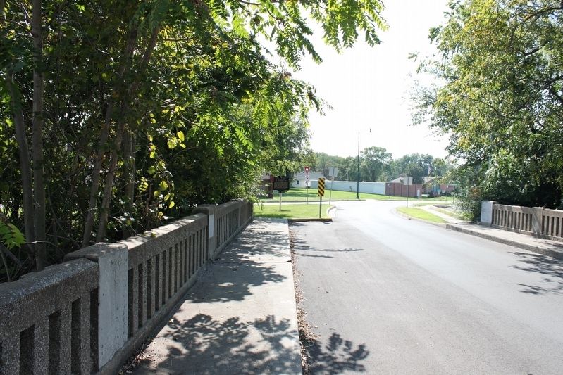
Location. 39° 5.239′ N, 94° 25.934′ W. Marker is in Independence, Missouri, in Jackson County. Marker is at the intersection of West Lexington Avenue and South Crysler Avenue, on the left when traveling west on West Lexington Avenue. Touch for map. Marker is at or near this postal address: 1415 West Lexington Avenue, Independence MO 64052, United States of America. Touch for directions.
Other nearby markers. At least 8 other markers are within walking distance of this marker. Woodson House (approx. 0.2 miles away); Temple Lot (approx. 0.3 miles away); Flournoy Home (approx. 0.3 miles away); Flournoy House (approx. 0.3 miles away); F.M. Smith Study (approx. 0.3 miles away); Temple Site (approx. 0.4 miles away); The Stone Church (approx. 0.4 miles away); Confederate Line (approx. 0.4 miles away). Touch for a list and map of all markers in Independence.
Also see . . . Battle of Westport. Wikipedia website entry (Submitted on June 8, 2022, by Larry Gertner of New York, New York.)

via Battle of Westport Fund, unknown
3. "Storm of Lead," original painting by Tom Beard.
The largest Civil War battle west of the Mississippi River.
Click for more information.
Click for more information.
Credits. This page was last revised on June 8, 2022. It was originally submitted on September 20, 2019, by Michael E Sanchez, Jr. of Kansas City, Missouri. This page has been viewed 480 times since then and 36 times this year. Photos: 1. submitted on September 20, 2019, by Michael E Sanchez, Jr. of Kansas City, Missouri. 2. submitted on October 1, 2019, by Michael E Sanchez, Jr. of Kansas City, Missouri. 3. submitted on June 8, 2022, by Larry Gertner of New York, New York. • Bernard Fisher was the editor who published this page.

