Tuskegee in Macon County, Alabama — The American South (East South Central)
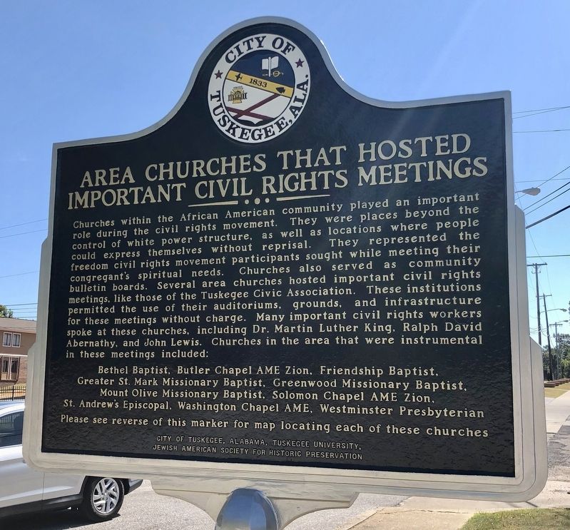
Area Churches That Hosted Important Civil Rights Meetings
| — | The Tuskegee Civil Rights and Historic Trail | — |
Photographed by Mark Hilton, September 20, 2019
1. Area Churches That Hosted Important Civil Rights Meetings Marker
Bethel Baptist, Butler Chapel AME Zion, Friendship Baptist,
Greater St. Mark Missionary Baptist, Greenwood Missionary Baptist,
Mount Olive Missionary Baptist, Solomon Chapel AME Zion,
St. Andrew's Episcopal. Washington Chapel AME, Westminster Presbyterian
Please see reverse of
this page online
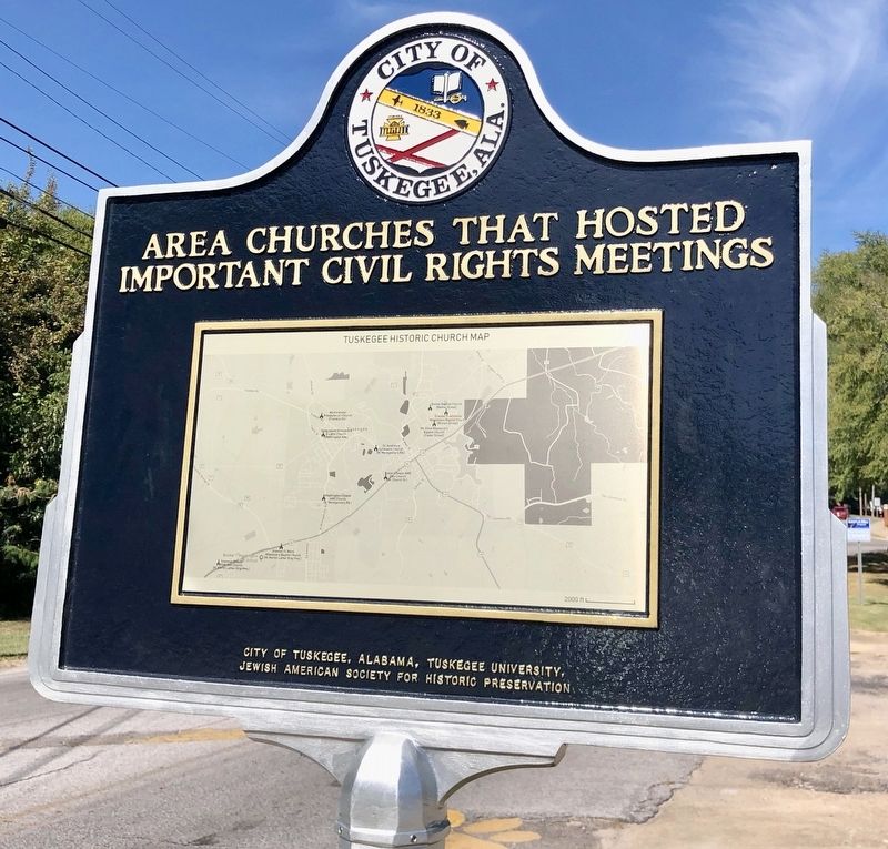
{Reverse}
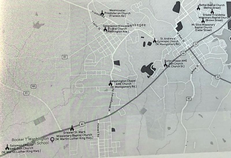
[Map of churches]
Erected 2019 by City Of Tuskegee, Tuskegee University, Jewish American Society for Historic Preservation. (Marker Number 7.)
Topics and series. This historical marker is listed in these topic lists: African Americans • Civil Rights • Religion & Religious Structures. In addition, it is included in the African Methodist Episcopal (AME) Church, the African Methodist Episcopal Zion (AME Zion) Church, the Historically Black Colleges and Universities, the Jewish American Society for Historic Preservation., and the Tuskegee Civil Rights and Historic Trail, Alabama series lists.
Location. Marker is missing. It was located near 32° 25.564′ N, 85° 42.064′ W. Marker was in Tuskegee, Alabama, in Macon County. It was on West Montgomery Road east of Peyton Road, on the right when traveling west. Touch for map. Marker was at or near this postal address: West Montgomery Road, Tuskegee AL 36083, United States of America. Touch for directions.

Regionally, this marker was in the American South, specifically
Photographed by Mark Hilton, September 20, 2019
2. Reverse side map of churches.
Other nearby markers. At least 8 other markers are within walking distance of this location: Birth of Trades Program (about 600 feet away, measured in a direct line); Carver Research Foundation (about 700 feet away); Site of Olivia Davidson Hall (about 700 feet away); Up From Slavery (approx. 0.2 miles away); Thrasher Hall (approx. 0.2 miles away); The Burnt Place (approx. 0.2 miles away); Porter Hall 1883 / Huntington Academic Building 1905 (approx. ¼ mile away); Managing the School (approx. ¼ mile away).
Photographed by Mark Hilton, September 20, 2019
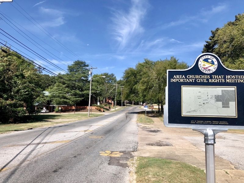
3. View of marker looking west towards Tuskegee University.
Photographed by Mark Hilton, September 20, 2019
4. Closeup of map of churches mentioned on marker.
Photographed by Mark Hilton
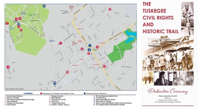
5. Dedication program and associated map of trail.
All thirteen new markers were dedicated on September 20th, 2019 at the Tuskegee Municipal Complex.
Please note #1 on the map, Amelia Boynton Robinson marker is actually on Franklin Road, NNW of Tuskegee University, near Boy Scout Circle.
Photographed by Tim Fillmon, June 29, 2022
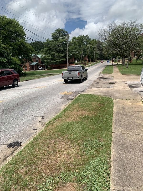
6. Area Churches That Hosted Important Civil Rights Meetings Marker
Former location of marker. Post is gone as well.
Credits. This page was last revised on June 29, 2022. It was originally submitted on September 20, 2019, by Mark Hilton of Montgomery, Alabama. This page has been viewed 491 times since then and 26 times this year. Photos: 1, 2, 3, 4, 5. submitted on September 20, 2019, by Mark Hilton of Montgomery, Alabama. 6. submitted on June 29, 2022, by Tim Fillmon of Webster, Florida.
