Oldtown in Allegany County, Maryland — The American Northeast (Mid-Atlantic)
Oldtown and Lock 70
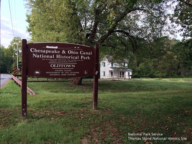
Chesapeake and Ohio Canal National Historical Park
— National Park Service, U.S. Department of the Interior —
Inscription.
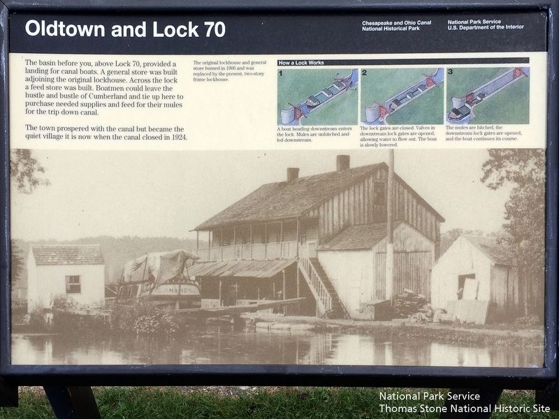
The basin before you, above Lock 70, provided a landing for canal boats. A general store was built adjoining the original lockhouse. Across the lock a feed store was built. Boatmen could leave the hustle and bustle of Cumberland and tie up here to purchase needed supplies and feed for their mules for the trip down canal.
The town prospered with the canal but became the quiet village it is now with the canal closed in 1924.
(captions)
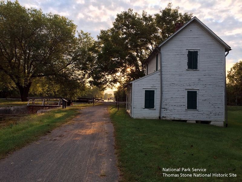
The original lockhouse and general store burned in 1906 and was replaced by the present, two-story frame lockhouse.
How a Lock Works
1. A boat heading downstream enters the lock. Mules are unhitched and led downstream.
2. The lock gates are closed. Valves in downstream lock gates are opened, allowing water to flow out. The boat is slowly lowered. 3. The mules are hitched, the downstream lock gates are opened, and the boat continues its course.
Erected by National Park Service, U.S. Department of the Interior.
Topics and series. This historical marker is listed in these topic lists: Industry & Commerce • Settlements & Settlers • Waterways & Vessels. In addition, it is included in the Chesapeake and Ohio (C&O) Canal series list. A significant historical year for this entry is 1924.
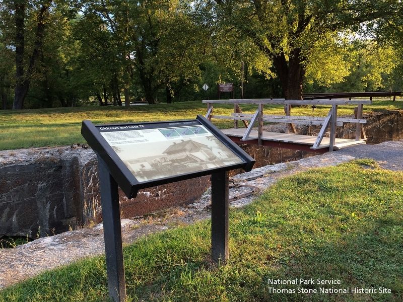
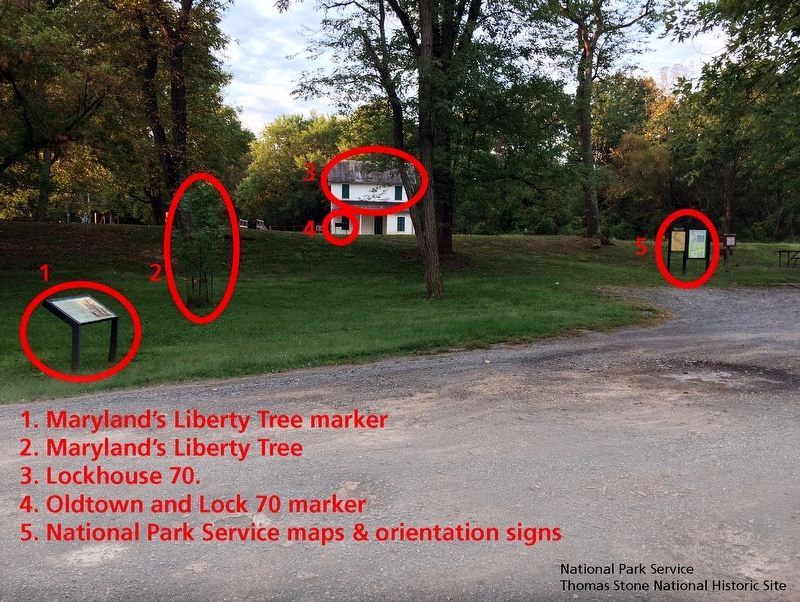
Location. 39° 32.391′ N, 78° 36.732′ W. Marker is in Oldtown, Maryland, in Allegany County. Marker is on Green Spring Rd SE, 0.1 miles south of Opessa St. Located at the Chesapeake & Ohio Canal National Historical Park site in Oldtown, Maryland. Parking is available. Walk past the marker called "Maryland's Liberty Tree," cross the footbridge over the canal lock, and find the "Oldtown and Lock 70" marker in front of Lockhouse 70. Touch for map. Marker is in this post office area: Oldtown MD 21555, United States of America. Touch for directions.
Other nearby markers. At least 8 other markers are within 4 miles of this marker, measured as the crow flies. Maryland’s Liberty Tree (within shouting distance of this marker); Michael Cresap (about 700 feet away, measured in a direct line); In Memory Of Col. Thomas Cresap (approx. 0.2 miles away); Memorial (approx. 0.2 miles away); Old Town (approx. 0.3 miles away); VFW Post 9451 Memorial (approx. 0.6 miles away); McCausland's Raid (approx. ¾ mile away); Turner Ashby’s Attack (approx. 3.7 miles away). Touch for a list and map of all markers in Oldtown.
National Park Service, Thomas Stone National Historic Site, September 16, 2019
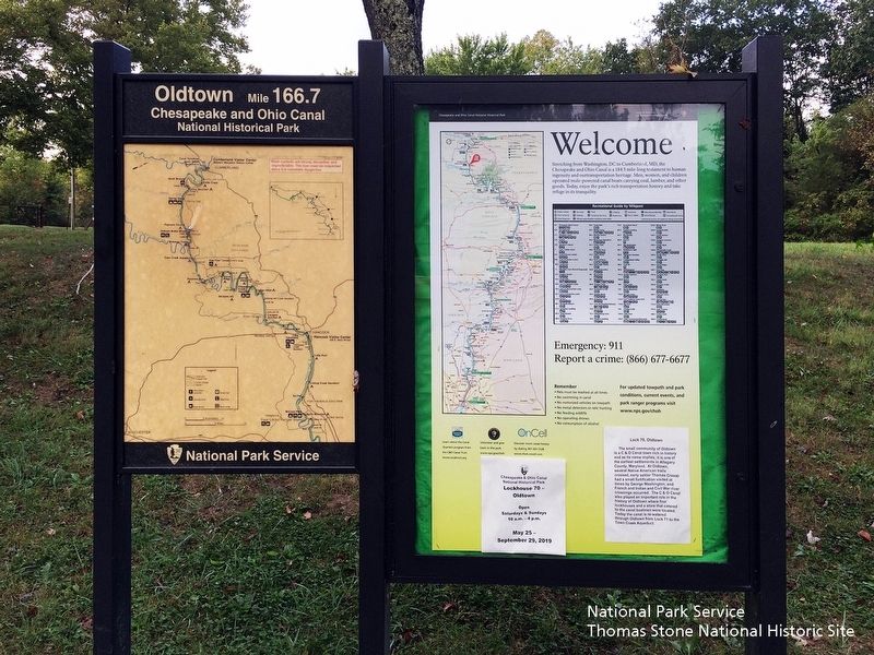
6. Chesapeake & Ohio Canal National Historical Park's orientation signs
Viewing south towards signs.
Sign on left: Oldtown Mile 166.7, Chesapeake and Ohio Canal Historical Park Sign on right: "Welcome. Stretching from Washington, DC to Cumberland, MD, the Chesapeake and Ohio Canal is a 184.5 mile-long testament to human ingenuity and our transportation heritage. Men, women, and children operated mule-powered canal boats carrying coal, lumber, and other goods. Today, enjoy the park's rich transportation history and take refuge in its tranquility.
Sign on left: Oldtown Mile 166.7, Chesapeake and Ohio Canal Historical Park Sign on right: "Welcome. Stretching from Washington, DC to Cumberland, MD, the Chesapeake and Ohio Canal is a 184.5 mile-long testament to human ingenuity and our transportation heritage. Men, women, and children operated mule-powered canal boats carrying coal, lumber, and other goods. Today, enjoy the park's rich transportation history and take refuge in its tranquility.
Credits. This page was last revised on August 5, 2021. It was originally submitted on September 23, 2019. This page has been viewed 393 times since then and 35 times this year. Photos: 1, 2, 3, 4, 5, 6. submitted on September 23, 2019. • Andrew Ruppenstein was the editor who published this page.
