Near Arco in Butte County, Idaho — The American West (Mountains)
Big Cinder Butte

Photographed By Barry Swackhamer, August 8, 2019
1. Big Cinder Butte Marker
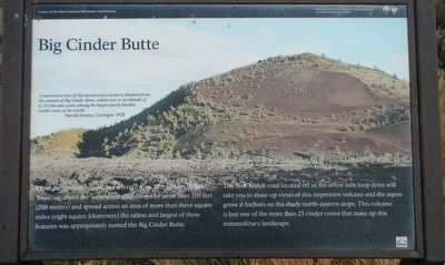
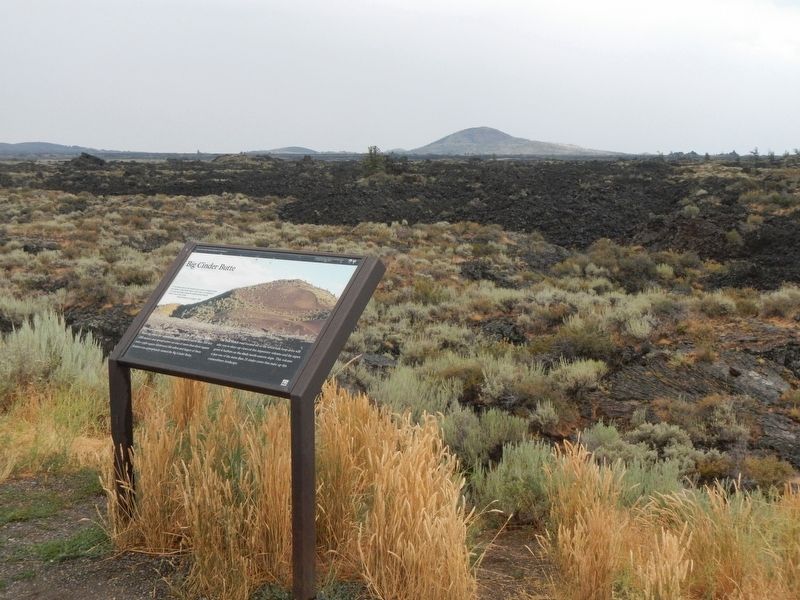
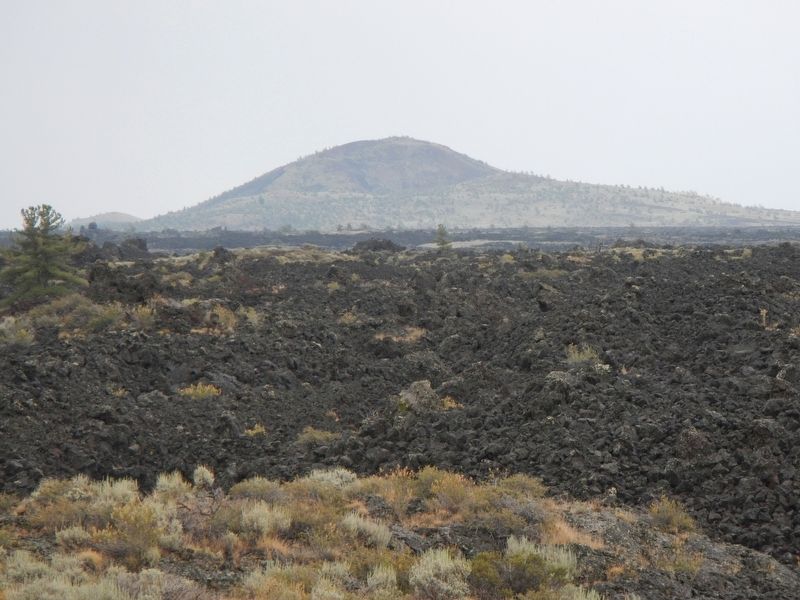
Caption: (upper left) A marvelous view of this desolate lava waste is obtained from the summit of Big Cinder Butte, which rises to an altitude of 6,516 feet and ranks among the largest purely basaltic cinder cones in the world. -- Harold Stearns, Geologist-1928
The Tree Molds road located off of the seven mile loop drive will take you to close-up views of this impressive volcano and the open grove it harbors on the shady north-eastern slope. This volcano is just one of the more than 25 cinder cones that make up this extraordinary landscape.
Erected by National Park Service, U.S. Department of the Interior.
Topics. This historical marker is listed in this topic list: Natural Features.
Location. 43° 25.108′ N, 113° 37.414′ W. Marker is near Arco, Idaho, in Butte County. Marker is on U.S. 26/93 near North Laidlaw Park Road, on the right when traveling east. Touch for map. Marker is in this post office area: Arco ID 83213, United States of America. Touch for directions.
Other nearby markers. At least 8 other markers are within 5 miles of this marker, measured as the crow flies. Pronghorn Passage (a few steps from this marker); Goodale's Cutoff (a few steps from this marker); Just Down the Road (approx. 2.9 miles away); Silent Cone (approx. 2.9 miles away); Volcanoes Along the Rift (approx. 2.9 miles away); Are We Loving Them to Death? (approx. 3.6 miles away); Where's the Volcano? (approx. 4.2 miles away); North Crater Lava Flow (approx. 4.2 miles away). Touch for a list and map of all markers in Arco.
Credits. This page was last revised on September 23, 2019. It was originally submitted on September 23, 2019, by Barry Swackhamer of Brentwood, California. This page has been viewed 250 times since then and 33 times this year. Photos: 1, 2, 3. submitted on September 23, 2019, by Barry Swackhamer of Brentwood, California.

