LeRoy in Genesee County, New York — The American Northeast (Mid-Atlantic)
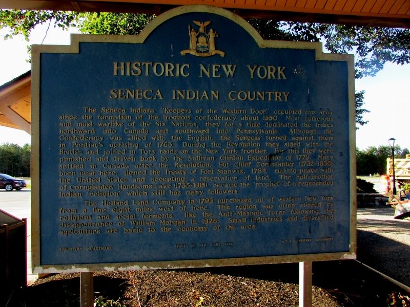
Seneca Indian Country
Historic New York
The Seneca Indians, “Keepers of the Western Door” occupied this area since the formation of the Iroquois confederacy about 1550. Most numerous and most warlike of the Six Nations, they for a time dominated the tribes northward into Canada and southward into Pennsylvania. Although the Confederacy was allied with the English, the Senecas turned against them in Pontiac’s uprising in 1763. During the Revolution they sided with the British and joined in Tory raids on the New York frontier. For this they were punished and driven back by the Sullivan-Clinton Expedition of 1779. Many settled in Canada after the Revolution, but Chief Cornplanter (1732 – 1836), born near here, signed the Treaty of Fort Stanwix, 1784, making peace with the United States and accepting a reservation of land. The half-brother of Cornplanter, Handsome Lake (1735 – 1815), became the “prophet” of a regenerated Indian “religion” which still has many followers.
The Holland Land Company in 1793 purchased all of western New York from a line eight miles west of here. The region was often stirred by religious and social ferments, like the Anti-Masonic furor following the disappearance of William Morgan in 1826. Small industries and diversified agriculture are basic to the economy of the area.
Erected 1983 by State of New York.
Topics and series. This historical marker is listed in these topic lists: Native Americans • War, US Revolutionary. In addition, it is included in the Historic New York State series list.
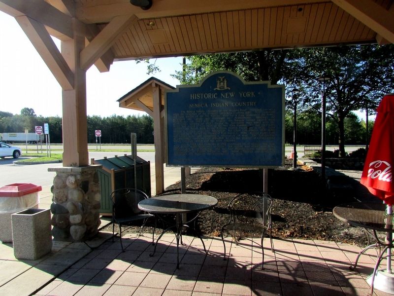
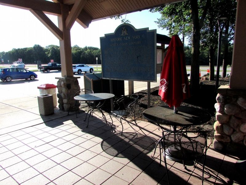
Location. 43° 1.843′ N, 77° 54.381′ W. Marker is in LeRoy, New York, in Genesee County. Marker can be reached from NY Thruway (Interstate 90), on the right when traveling west. Marker is located at the Ontario Travel Plaza. Touch for map. Marker is in this post office area: Le Roy NY 14482, United States of America. Touch for directions.
Other nearby markers. At least 8 other markers are within 4 miles of this marker, measured as the crow flies. Early Church (approx. 2.9 miles away); Riga Academy (approx. 3 miles away); Marion Steam Shovel (approx. 3.1 miles away); Bergen Museum (approx. 3.1 miles away); First School West of the Genesee (approx. 3.2 miles away); Scottish Pioneers built here in 1806 (approx. 3.2 miles away); Hotel Creek (approx. 3.4 miles away); Roswell Parmelee (approx. 3.4 miles away). Touch for a list and map of all markers in LeRoy.
Credits. This page was last revised on August 22, 2020. It was originally submitted on September 23, 2019, by Bill Coughlin of Woodland Park, New Jersey. This page has been viewed 499 times since then and 78 times this year. Photos: 1, 2, 3. submitted on September 23, 2019, by Bill Coughlin of Woodland Park, New Jersey.


