Arimo in Bannock County, Idaho — The American West (Mountains)
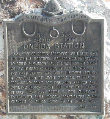
Oneida Station
Erected 1966 by Daughters of Utah Pioneers, Camp Arimo. (Marker Number 329.)
Topics and series. This historical marker is listed in these topic lists: Railroads & Streetcars • Settlements & Settlers. In addition, it is included in the Daughters of Utah Pioneers series list. A significant historical month for this entry is April 1878.
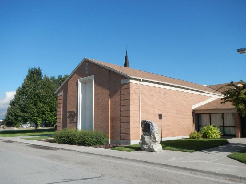
Location. 42° 33.664′ N, 112° 10.422′ W. Marker is in Arimo, Idaho, in Bannock County. Marker is at the intersection of Henderson Road and High Street, on the left when traveling south on Henderson Road. Touch for map. Marker is at or near this postal address: 289 Henderson Road, Arimo ID 83214, United States of America. Touch for directions.
Other nearby markers. At least 8 other markers are within 10 miles of this marker, measured as the crow flies. Stage Coach Station (approx. 4.7 miles away); McCammon Railroad Center (approx. 6.3 miles away); Location, location, location.... (approx. 6.8 miles away); Lead Bell Mining Company (approx. 9.2 miles away); Furs and farms, fire and floods... (approx. 9.2 miles away); Lava Hot Springs (approx. 9.4 miles away); a different marker also named Lava Hot Springs (approx. 9˝ miles away); Pioneer Cabin (approx. 9˝ miles away).
More about this marker. This marker is next to the LDS Church.
Credits. This page was last revised on September 24, 2019. It was originally submitted on September 24, 2019, by Barry Swackhamer of Brentwood, California. This page has been viewed 341 times since then and 55 times this year. Photos: 1, 2. submitted on September 24, 2019, by Barry Swackhamer of Brentwood, California.

