Downey in Bannock County, Idaho — The American West (Mountains)
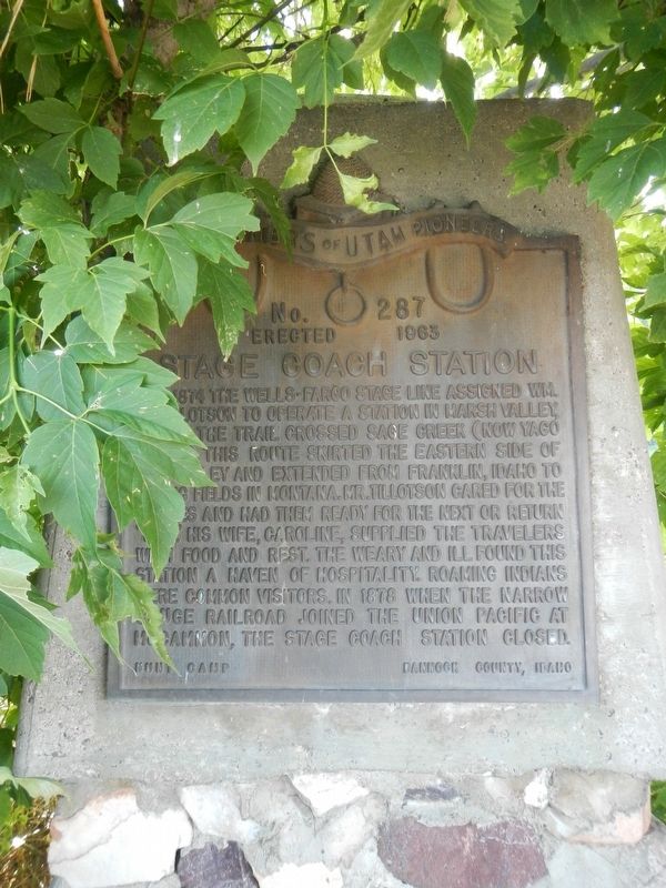
Stage Coach Station
Erected 1963 by Daughters of Utah Pioneers, Hunt Camp, Bannock County, Idaho. (Marker Number 287.)
Topics and series. This historical marker is listed in this topic list: Roads & Vehicles. In addition, it is included in the Daughters of Utah Pioneers series list. A significant historical year for this entry is 1874.
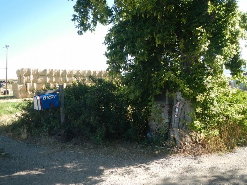
Location. 42° 29.739′ N, 112° 8.967′ W. Marker is in Downey, Idaho, in Bannock County. Marker is on South Olson Road near East Virginia Road, on the right when traveling north. Touch for map. Marker is at or near this postal address: 18526 South Olson Road, Downey ID 83234, United States of America. Touch for directions.
Other nearby markers. At least 8 other markers are within 12 miles of this marker, measured as the crow flies. Oneida Station (approx. 4.7 miles away); Pioneer Cabin (approx. 4.8 miles away); McCammon Railroad Center (approx. 10.9 miles away); Red Rock Pass (approx. 11 miles away); Captain Jefferson Hunt, Soldier, Pioneer, Churchman (approx. 11 miles away); Lead Bell Mining Company (approx. 11.1 miles away); Furs and farms, fire and floods... (approx. 11.1 miles away); Lava Hot Springs (approx. 11.2 miles away). Touch for a list and map of all markers in Downey.
Credits. This page was last revised on September 24, 2019. It was originally submitted on September 24, 2019, by Barry Swackhamer of Brentwood, California. This page has been viewed 373 times since then and 54 times this year. Photos: 1, 2. submitted on September 24, 2019, by Barry Swackhamer of Brentwood, California.

